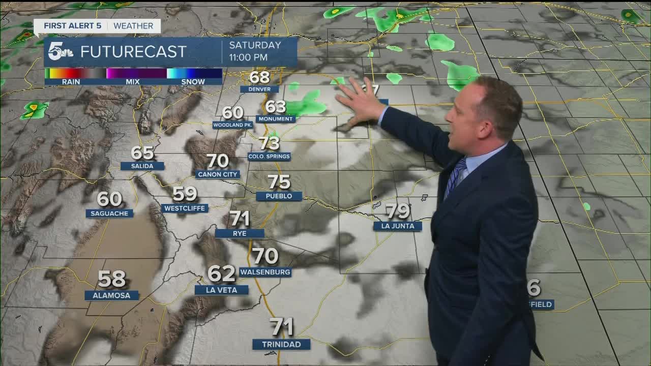


Tonight's Forecast:
Clouds have rolled into the Pikes Peak Region this evening, helping to cool us down after another day of record setting heat. A few isolated thunderstorms will be possible through the evening hours, mainly from the mountains to Teller County to the Palmer Divide. Gusty winds and lightning will be the main threats thanks to some very dry air near the surface. Overnight lows will be mild, only cooling down to the 50s and 60s.
COLORADO SPRINGS: Low: 60; High: 86. Sunday's forecast will bring the Pikes Peak Region a cooler and more comfortable day. In addition to the cool down, there's a chance that we could see an isolated afternoon thunderstorm.
PUEBLO: Low: 60; High: 92. Mostly sunny to partly cloudy, and cooler on Sunday. Highs will still be above average for this time of the year, but will be much cooler than today.
CANON CITY: Low: 62; High: 90. Our forecast on Sunday will be a lot more comfortable as daytime highs cool quite a bit from today. Widespread rain isn't likely, but an isolated afternoon thunderstorm can't be ruled out.
WOODLAND PARK: Low: 50; High: 77. A lot more comfortable on Sunday, and along with the cool down comes the chance for a few isolated afternoon thunderstorms.
TRI-LAKES: Low: 50s; High: 70s/80s. Not as hot as Saturday, and with another chance for isolated afternoon thunderstorms.
PLAINS: Low: 60s; High: 90s. Still hot, but not as hot as what we saw today. In addition to the heat, it'll be a breezy to windy day across the Plains.
WALSENBURG/TRINIDAD: Low: 50s/60s; High: 80s/90s. Breezy and not as hot on Sunday as highs top out in the 80s and lower 90s. Other than the chance of an isolated afternoon thunderstorm, we should stay dry.
MOUNTAINS: Low: 40s/50s; High: 70s. Pleasant and cooler from the mountains to the foothills on Sunday. Along with the cool down will come the potential for isolated afternoon thunderstorms, generally for areas north of Highway 50.
Extended Outlook:
Westerly, downslope breezes will warm us up several degrees on Monday before our next cold front arrives early Tuesday. Along with a much cooler afternoon, we're expecting a pretty solid chance of rain and thunderstorms thanks to good upslope flow and more abundant moisture. A few storms may try to redevelop on Wednesday. Otherwise, late week trends are calling for sunshine and well above average highs.
KOAA News5 on your time, streaming on your Roku, FireTV, AppleTV and AndroidTV.
News5 App | First Alert 5 Weather App | Youtube | Facebook | Instagram | Twitter
