


Tonight's Forecast:
Flash flooding will be possible in and around recent burn scars through early this evening due to the potential for heavy rain and slow moving storms. Both the Spring Fire, Decker Fire and Hayden Pass burn scars have already seen Flash Flood Warnings today, and these should be allowed to expire by sunset this evening.
With mostly cloudy to partly cloudy skies overnight tonight, low temperatures in the Plains will only cool down to lower to middle 60s. For the higher elevations and mountain valleys, we're expecting a mix of 40s and 50s.
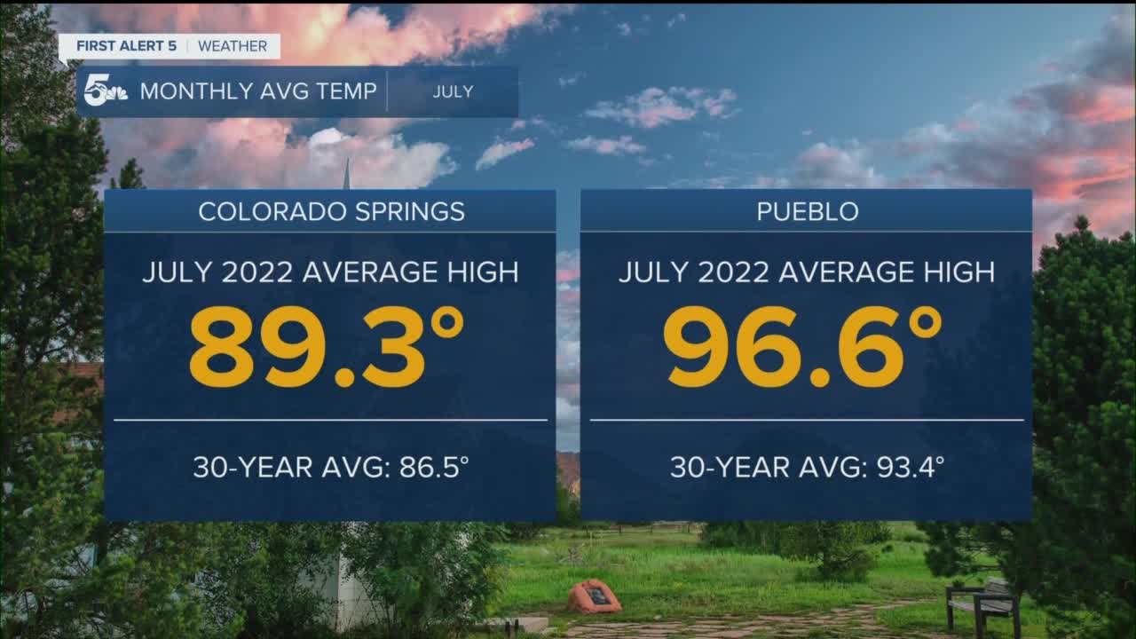
Colorado Springs forecast: Low: 62; High: 93; Tuesday's forecast will be a scorcher as 90s return for the 28th time this year to Colorado Springs. On top of the heat, there's the potential for a few afternoon thunderstorms to move across El Paso County.
Pueblo forecast: Low: 64; High: 101; Back to triple digit digit territory on Tuesday, and on top of the sizzle, outflow from thunderstorms is likely to bring more wind than rain to our region from virga showers.
Canon City forecast: Low: 65; High: 96; Hot on Tuesday, with increasing clouds in the afternoon and the potential for a few scattered thunderstorms to help cool us off.
Woodland Park forecast: Low: 53; High: 80; Warmer on Tuesday, with slightly better storm chances across Teller County. Any thunderstorms that do form will be capable of heavy rainfall, gusty winds, frequent lightning and small hail.
Tri-Lakes forecast: Low: 50s/60s; High: 80s/90s; While the best potential for heavy rain on Tuesday will stay over the mountains, we can't rule out a few hit or miss showers over the Palmer Divide during the afternoon and early evening hours.
Plains forecast: Low: 60s; High: 90s/100s; The heat will be the big story once again on Tuesday as daytime highs will soar into the 90s and lower 100s. Although a shower or thunderstorm would help to cool us down, rain chances across the Plains are only around 10%.
Walsenburg and Trinidad forecast: Low: 50s/60s; High: 80s/90s; Toasty temperatures on Tuesday as highs across the southern I-25 corridor will climb into the upper 80s and 90s. A few late day thunderstorms will be possible tomorrow, with better chances on both Wednesday and Thursday.
Mountains forecast: Low: 40s; High: 70s/80s; Monsoonal moisture isn't going anywhere on Tuesday, and this will lead to the potential for late day and evening thunderstorms over the mountains. Locally heavy rain near recent burn scars could trigger more flash flooding in some areas.
Extended outlook forecast:
Widespread rain chances are expected to return from Wednesday to Thursday as moisture moves closer to the I-25 corridor for a couple of days. The heaviest threat for rain will stay over the mountains this week, while the far east Plains aren't likely to see much rain at all during the upcoming week. A strong cold will arrive this weekend, which will set the stage for a pattern change that includes cooler and wetter weather.
____
Curious about the First Alert 5 Weather Storm Impact Scale? Check out our cheatsheet explainer.
Watch KOAA News5 on your time, anytime with our free streaming app available for your Roku, FireTV, AppleTV and Android TV. Just search KOAA News5, download and start watching.
