


Tonight's Forecast:
Red Flag Warnings have been allowed to expire as of 5 pm, but will return on Tuesday as we find ourselves back under the gun for more strong wind and low relative humidity. For tonight, it will be breezy to gusty in some areas, especially south of Highway 50 into parts of Huerfano and Las Animas counties. Overnight temperatures will cool down to the 20s and 30s in the Plains, with 10s on tap for the mountains and mountain valleys.
Colorado Springs forecast: Low: 25; High: 49; Wind gusts to 50 mph and low relative humidity on Tuesday has led to the issuance of Red Flag Warnings for the Pikes Region on Tuesday. They will go into effect starting at 11 am, and continue until 6 pm.
Pueblo forecast: Low: 26; High: 57; Super windy and dry in the Pueblo area on Tuesday. On top of Red Flag Warnings, gusts of 50-60 mph could lead to areas of blowing dust across the county.
Canon City forecast: Low: 28; High: 51; Windy and cooler on Tuesday, with peak afternoon wind gusts up near 45-55 mph.
Woodland Park forecast: Low: 17; High: 36; Westerly winds will really crank in Teller County on Tuesday, with gusts in the afternoon hours up near 50-60 mph. Any leftover snow on the ground could be blown around with gusts this strong, leading to poor visibility.
Tri-Lakes forecast: Low: 20s; High: 30s/40s; A blustery and cold final day of February for the Monument Hill and Tri-Lakes area. With very low relative humidity and strong gusts to 55 mph, Red Flag Warnings will go into effect starting at 11 am.
Plains forecast: Low: 20s/30s; High: 50s/60s; High fire danger will return to the Plains on Tuesday, with a Red Flag Warning in effect from 11 am to 6 pm. Peak gusts during the day could top 50-60 mph in some areas.
Walsenburg and Trinidad forecast: Low: 20s/30s; High: 40s; Red Flag Warnings will return to the southern I-25 corridor on Tuesday as strong gusts and very dry air will keep fire danger conditions high across the region.
Mountains forecast: Low: 10s; High: 20s/30s; Windy with blowing snow across Colorado's high country on Tuesday. Because of the anticipated wind threat, Monarch Mountain has announced that they will NOT be open for skiing and riding on Tuesday. Snow will also increase across the mountains on Tuesday.
Extended outlook forecast:
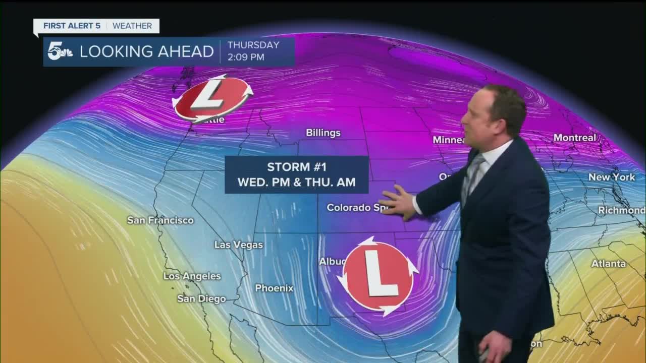
After a couple of days of high fire danger, our next winter storm will bring cooler temperatures and some wetter changes to our forecast around the middle of the week. Moisture from the mountains will push east by Wednesday evening, with a rain to snow mix over the Plains. Additional snow showers will continue into Thursday morning, with totals looking to stay around 1-2" in Colorado Springs and Pueblo.
Another fast-moving storm Friday night could bring another quick burst of snow to Southern Colorado as we head into the weekend.
____
Curious about the First Alert 5 Weather Storm Impact Scale? Check out our cheatsheet explainer.
Watch KOAA News5 on your time, anytime with our free streaming app available for your Roku, FireTV, AppleTV and Android TV. Just search KOAA News5, download and start watching.
