

Tonight's Forecast:
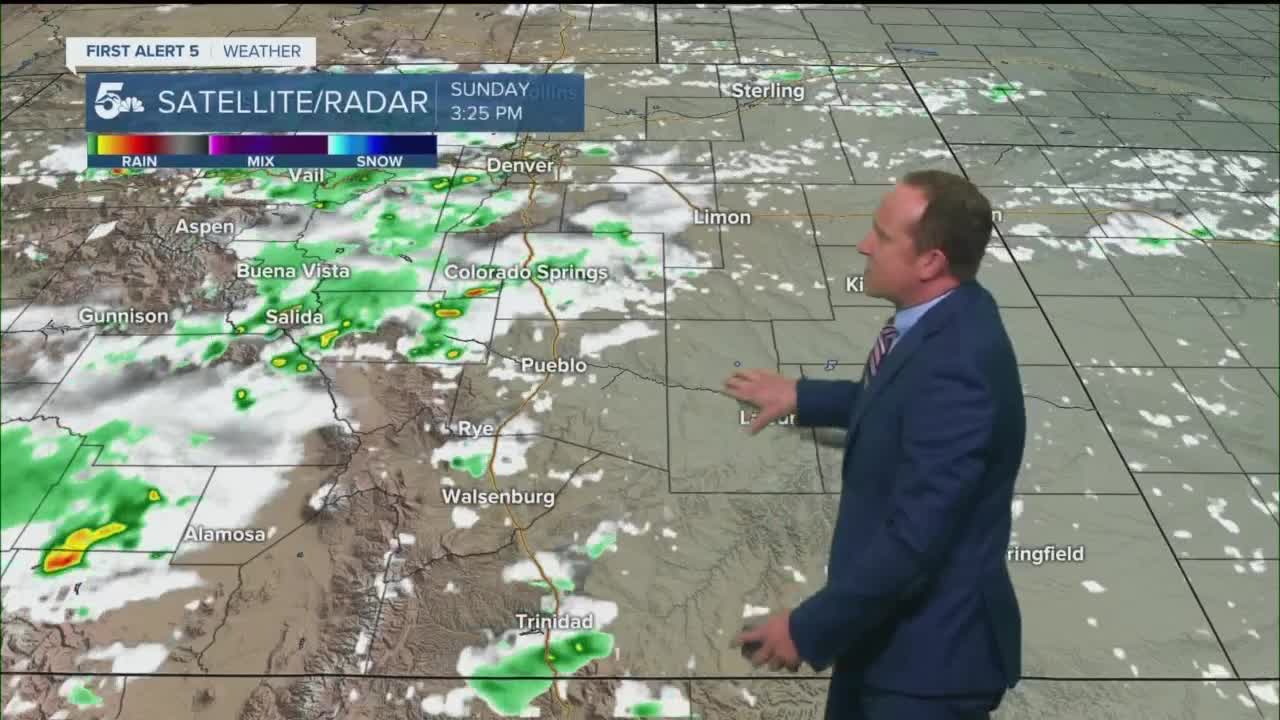
In spite of some very dry air at the surface, a mid-level disturbance crossing the state will continue to pop a few showers and thunderstorms across the mountains, mountain valleys and parts of the I-25 corridor through the middle of the evening. After the rain comes to an end, we'll see a quiet night across Southern Colorado, with decreasing clouds as we head into Monday morning.
Colorado Springs forecast: Low: 58; High: 87; After a few showers Sunday across the Pikes Peak Region, we're looking at a drier start to the work week, and another hot one as highs climb into the upper 80s.
Pueblo forecast: Low: 59; High: 94; A slight bit of cooling compared to Sunday's high of 98°, but still well above the average high temperature of 88° for this time of the year.
Canon City forecast: Low: 61; High: 91; Sunny skies early will give way to a toasty mix of sun and clouds by the afternoon, with only about a 10% chance of any rain developing.
Woodland Park forecast: Low: 46; High: 78; Another cool and comfortable morning Monday will be followed by a partly cloudy and warm afternoon, with only a 10% chance of an afternoon thunderstorm popping up.
Tri-Lakes forecast: Low: 50s; High: 70s/80s; Much like what we saw over the weekend, we're looking at a continuation of some very warm late August temperatures, with highs expected to warm into the upper 70s and 80s along the Palmer Divide.
Plains forecast: Low: 50s/60s; High: 80s/90s; A hot and dry start to the work week for the Plains, with afternoon temperatures maybe slightly cooler than today, but still topping out in the upper 80s and 90s.
Walsenburg and Trinidad forecast: Low: 50s/60s; High: 80s; The final few days of August will be warm region-wide, and that includes the southern I-25 corridor. Here, we're expecting afternoon highs to warm well into the 80s on Monday.
Mountains forecast: Low: 40s; High: 60s/70s; As drier air filters into the state early this week, we'll see a reduction of showers and thunderstorms. For the mountains, a few widely scattered showers will be possible by Monday afternoon, but coverage should be less than what we saw this weekend.
Extended outlook forecast:
The start of the work week will be hot and dry, with only a few isolated afternoon storms possible each day across the mountains and mountain valleys. A weak cold front on Wednesday will bring slight cooling to the Plains and the potential for a few spotty showers. Temperatures may rebound by a degree or two Thursday, which marks the first day of September, a month that averages 0.2" of snow at the Colorado Springs Airport. Something to think about...
____
Curious about the First Alert 5 Weather Storm Impact Scale? Check out our cheatsheet explainer.
Watch KOAA News5 on your time, anytime with our free streaming app available for your Roku, FireTV, AppleTV and Android TV. Just search KOAA News5, download and start watching.
