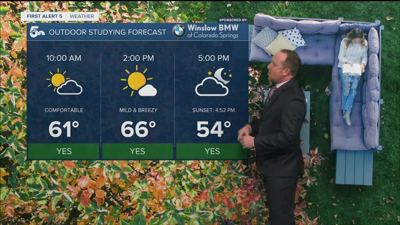


Tonight's Forecast:
With sunset coming an hour early tonight, we can expect to see temperatures cool down earlier in the evening a little more quickly this time of the year. Tonight will be breezy, with partly cloudy skies and warmer than average lows across the region. Most areas outside of the high country will stay above the freezing mark.
COLORADO SPRINGS: Low: 42; High: 66. A cold front will bring a cool down to the forecast on Monday, but even with highs dropping by more than 10 degrees, we'll still be above average for this time of the year.
PUEBLO: Low: 38; High: 73. After spending today in the 80s, highs will cool by around 10 degrees on Monday thanks to the passage of an early afternoon cold front.
CANON CITY: Low: 43; High: 71. Mostly sunny and warm on Monday, with highs down around 5-10 degrees from what we saw this past weekend.
WOODLAND PARK: Low: 37; High: 61. A cooling trend begins on Monday as we'll see lower 60s tomorrow, but much cooler weather to follow for the rest of the week.
TRI-LAKES: Low: 30s/40s; High: 60s. After a warm weekend, a cold front will bring us a mix of sun and clouds and mild highs to start the week.
PLAINS: Low: 30s/40s; High: 60s/70s. A cold front will move across the Plains during the early afternoon hours, with gusty north winds and cooler highs expected for our Monday.
WALSENBURG/TRINIDAD: Low: 30s/40s; High: 60s/70s. Even with some cooler weather on the way Monday afternoon, we're still expecting a warm start to the week, along with the potential for elevated fire weather conditions.
MOUNTAINS: Low: 30s; High: 40s/50s. A dry and mild start to the work week for our local mountains. Although daytime temperatures will remain pleasant, afternoon wind gusts of 30-40 mph will be possible throughout the day.
Extended Outlook:
Near normal highs will return by Tuesday, with a much cooler forecast on tap for the rest of the week. The storm track will flirt with the Centennial state at times, but most of the moisture is expected over the mountains and not the Plains. East of the mountains, we're only seeing a weak chance of a shower late Tuesday night or early Wednesday. Instead of rain or snow, the extended outlook for Southern Colorado will feature cooler highs and periods of gusty winds.
KOAA News5 on your time, streaming on your Roku, FireTV, AppleTV and AndroidTV.
