


Tonight's Forecast:
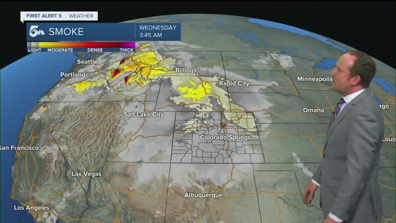
Other than a few mountain showers along and west of the Continental Divide, dry skies can be expected this evening from Canon City to Colorado Springs, and out east into the Plains. Temperatures won't be as comfortable as what we saw this past weekend as overnight lows in the lower elevations may only cool down to the upper 50s and 60s.
Colorado Springs forecast: Low: 60; High: 93; After coming up just shy of the 90s today, we're expecting to get there again on Tuesday as our high temperature is expected to climb to 93°. Current record = 97° (2020).
Pueblo forecast: Low: 59; High: 99; Sizzling Labor Day temperatures will give way an even hotter day on Tuesday as we return to work and school with highs in the upper 90s. Current record = 103° (2020).
Canon City forecast: Low: 63; High: 94; Hot and sunny on Tuesday, with light easterly breezes to 10 mph, and above average temperatures.
Woodland Park forecast: Low: 52; High: 84; A beautiful, but warm day for Teller County on Tuesday, with the afternoon hours featuring mostly sunny skies and 80s for daytime highs.
Tri-Lakes forecast: Low: 50s/60s; High: 80s/90s; With dry air in place over the next 24 hours, we'll see a pleasant morning give way to a bright and hot afternoon, with highs likely to approach the lower 90s.
Plains forecast: Low: 50s/60s; High: 90s/100s; The combining effects of a strong high pressure system and sunny skies will help to deliver a very hot day to the Plains of Southern Colorado on Tuesday, with some areas topping out in the triple digits.
Walsenburg and Trinidad forecast: Low: 50s; High: 80s/90s; After a fairly nice morning, early September sunshine will cause temperatures to really heat up, with afternoon highs topping out in the upper 80s and lower 90s.
Mountains forecast: Low: 40s/50s; High: 70s/80s; The heat wave that's impacting the Plains this week will bring some unseasonable warmth to the mountains of Southern Colorado as well. Highs in some areas will warm into the 80s, and along with the heat, a few spotty thunderstorms will be possible along and west of the Continental Divide, south of the Monarch Pass.
Extended outlook forecast:
As the heat wave continues this week, we'll see the potential for record breaking temperatures from Wednesday to Thursday. With the heat the big story, make sure that if you're working outside in these conditions that you're staying hydrated and taking frequent breaks.
By Friday, the first of two cold fronts will help to put an end to the heat, and may bring a few showers to parts of Southern Colorado. Friday will be breezy and cooler by about 8-12 degrees, with further cooling and a few more rain showers possible by Saturday.
____
Curious about the First Alert 5 Weather Storm Impact Scale? Check out our cheatsheet explainer.
Watch KOAA News5 on your time, anytime with our free streaming app available for your Roku, FireTV, AppleTV and Android TV. Just search KOAA News5, download and start watching.
