

Today’s Forecast:
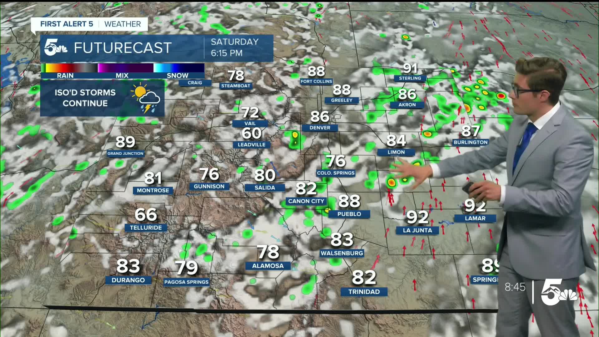
Skies will be partly cloudy this morning in the mountains and along the Front Range with upper level moisture producing a blend of cloud structures - which should be neat to look at. The main story today is the monsoon, with moisture streaming into the state from parts of Mexico. A low is sitting west of Colorado, with high pressure to the east. An upper level wave passing the areas will lead to storms forming before noon today in the mountains. These storms will move into I-25 during the middle of the afternoon, with chances continuing into the early evening. The primary storm concerns today are gusty wind, lightning, and some small hail.
Storms will clear out during the later parts of the evening west to east, but - so although you do have a slight chance of rain if you're aiming for a patio dinner - later evening plans won't require the umbrella.
Temperatures today will be a bit cooler region wide - middle 80s to middle 90s, still slightly above average, but certainly within the realm of what's typical in mid-August.
Colorado Springs forecast: High: 87; Low: 59.
Partly cloudy this morning - with generally high clouds - blended with sunshine and good visibility as wildfire smoke is generally very light today in the atmosphere. Storms today will be scattered this afternoon, with chances beginning after 2 PM. Overall, there's a 4-in-10 chance of seeing a shower or thunderstorm where you are in the Pikes Peak Region today. Storm concerns are gusty wind, lightning, small hail, and briefly heavy rain. Northwest winds at 5-10 mph shifting southwest in the
Pueblo forecast: High: 94; Low: 61.
Mostly sunny this morning with high clouds across the area. Partly cloudy and hot this afternoon but not as intense as the second half of the work week. Storms will be isolated this afternoon, so you'll be in the minority if you see one. The storms that do form will contain gusty wind. In fact, it's -more- likely for you to get gusty wind, than rain, from a storm today (as the gusty wind will extend farther from storms than the actual rain shaft due to dry air). Otherwise, lightning, small hail, and brief heavy rainfall are the primary storm threats. Storm coverage will be about 20% of the area (2-in-10 at your home), and timing is mid to late afternoon.
Southwest winds at 5-10 mph.
Canon City forecast: High: 90; Low: 59.
Partly cloudy through the morning, with scattered afternoon thunderstorms. West winds at 10-15 mph shifting southwest after 11 AM.
Woodland Park forecast: High: 80; Low: 48.
Partly cloudy through 11 AM, with a rogue and isolated storm or two possible between then and 1 PM. More shower and storm potential arrives after 1 PM and continues throughout the afternoon. I do not see storm potential continuing into the evening hours with energy shifting east by sunset. Southwest winds at 5-10 mph.
Tri-Lakes forecast: High: 80s; Low: 50s.
Mostly clear with high clouds this morning, turning partly cloudy after 11 AM. Scattered afternoon thunderstorms after 2 PM. West winds at 5-10 mph.
Plains forecast: High: 90s; Low: 60s.
Mostly sunny this morning, becoming partly cloudy in mid-afternoon. Storms are possible during the afternoon in the southern tier and evening in the central east plains. They'll be rather isolated, and weak. Otherwise, breezy this afternoon with south winds at 10-20 mph gusting to 25-30 mph.
Walsenburg and Trinidad forecast: High: 85/86; Low: 58/59.
Partly cloudy through the morning with isolated PM thunderstorms after 2 PM. Storms will primarily contain gusty wind. Southwest winds at 5-10 mph.
Mountains forecast: High: 70s; Low: 50s.
Partly cloudy through the morning becoming mostly cloudy after 11 AM. Isolated morning showers and storms, becoming widespread in the afternoon. Storms will pulse up and decay over a span of about 90 minutes, but there will be plenty of them. Breezy, with south winds at 15-25 mph gusting to 30 mph.
Extended outlook forecast:
The pattern is largely rinse and repeat for the next several days. Highs remain consistent: upper 70s in the mountain valleys, upper 80s for the higher zones along I-25, low to mid 90s for lower parts of I-25 and the plains, with daily afternoon isolated to scattered storms possible.
Wednesday and Thursday should be dry - as high pressure shifts west and pulls in a plume of dry air from the equatorial pacific into Colorado. As that high then meanders east, the monsoon tap returns again - with early indications suggesting more potent moisture and the potential for heavier rain. This would certainly be welcome news for drought and fire conditions in the state, although the majority of that issue is well west of southern Colorado in the western slope.
____
Curious about the First Alert 5 Weather Storm Impact Scale? Check out our cheatsheet explainer.
Watch KOAA News5 on your time, anytime with our free streaming app available for your Roku, FireTV, AppleTV and Android TV. Just search KOAA News5, download and start watching.
