
Today’s Forecast:
Light snow overnight coupled with freezing temperatures has left most roadways in southern Colorado covered with snow, slush, and in some cases, ice. We'll stay cloudy and very cold all day, so any roads that aren't treated with snow melt or plowed will stay snow covered all day. Overnight we'll see drying (a few isolated evening flurries are still possible) skies with very cold temperatures dropping into the teens.
COLORADO SPRINGS: High: 28; Low: 18. Light early morning snow and flurries turns into sporadic flurries through the afternoon and evening but with little to no extra snow accumulation past the morning hours.
PUEBLO: High: 33; Low: 17. Light early morning snow turns to weak and spotty flurries through the afternoon with drying skies expected through the evening hours.
CANON CITY: High: 32; Low: 23. Light snow turns to light flurries that will decrease through the daytime and provide little to no extra snow accumulation after the morning hours.
WOODLAND PARK: High: 29; Low: 13. Being on the west side of Pikes Peak, Woodland Park and most of Teller County is likely done with snow for today other than a few isolated flurries through the afternoon and evening.
TRI-LAKES: High: 20s; Low: 10s. Cold with occasional flurries through the morning and afternoon with continued dry or drying skies expected through the evening.
PLAINS: High: 30s; Low: 20s. Light morning snow will turn to occasional flurries through the morning and early afternoon with continued drying expected to take place through the evening hours.
WALSENBURG/TRINIDAD: High: 30s; Low: 20s. Cloudy and breezy with mostly dry skies during the daytime. It's possible isolated flurries could fall during the day due to easterly surface winds.
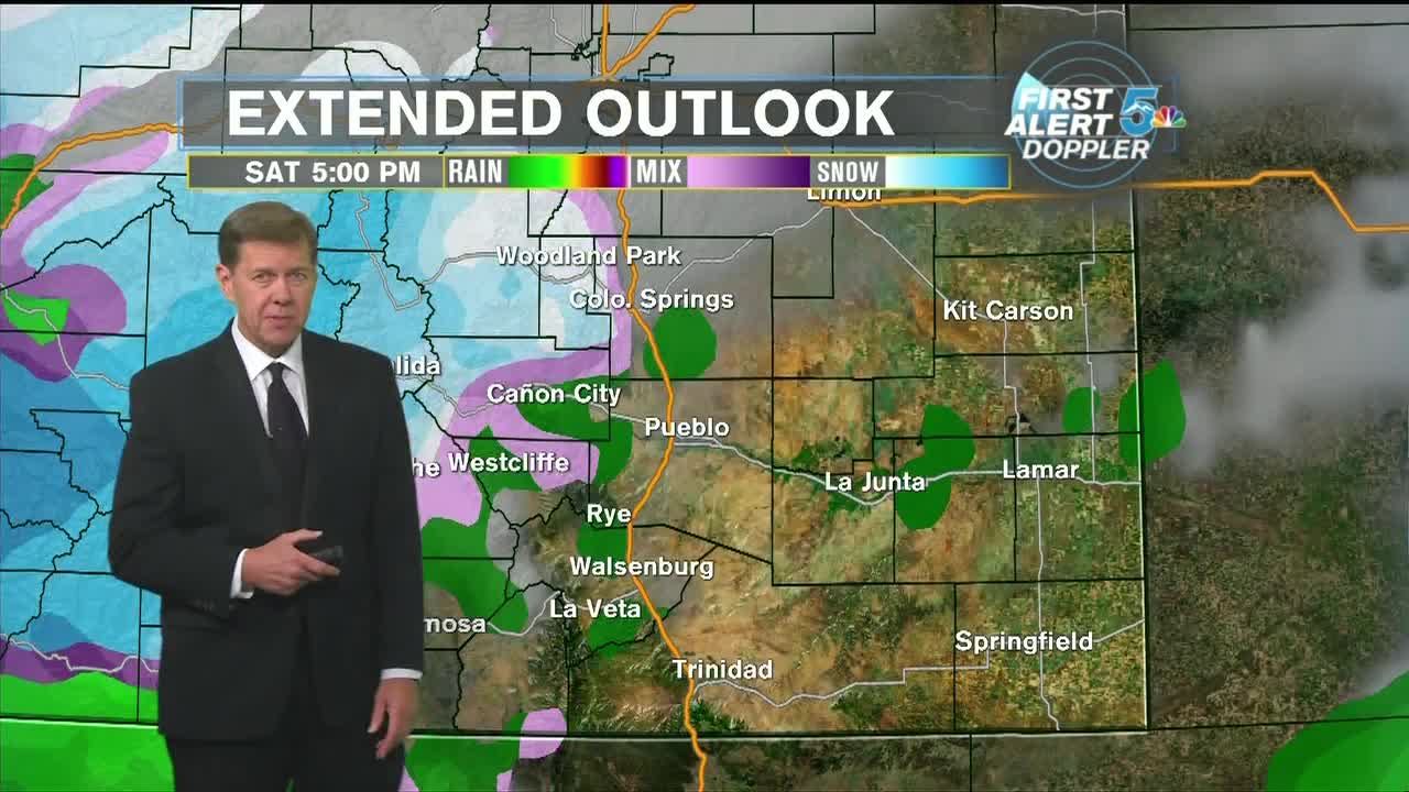
Extended Outlook:
The next snow chance for southern Colorado comes Wednesday evening through Thursday morning. We'll be very cold so it could be another morning where snow is mixed in with ice on the pavement. At this point it looks like Colorado Springs could see a range of 1 to 3 inches and Pueblo could get 2 to 4 inches, but we'll have better updates tomorrow.
Friday looks dry and warmer with the next snow chance after Thursday occurring from Saturday night through Sunday.
