

Today’s Forecast:
It'll feel a little closer to winter today with Freeze Warnings in effect through 9 AM.
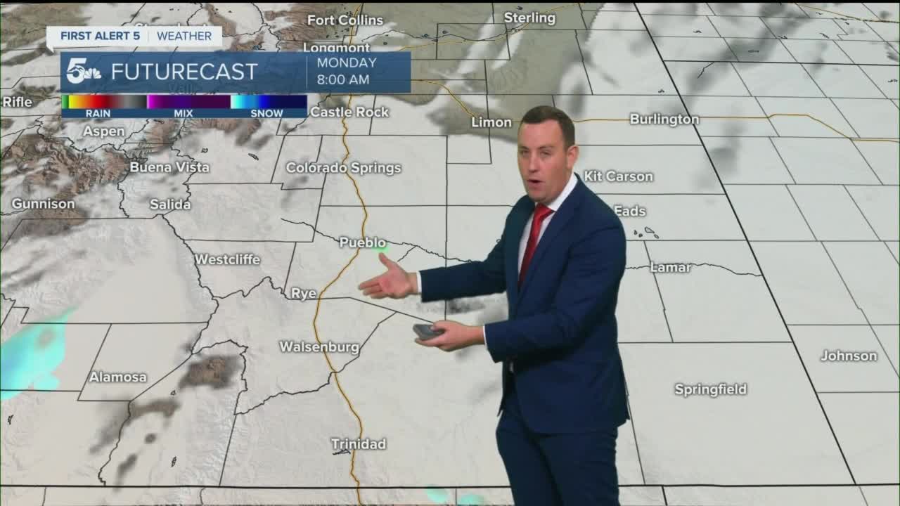
Rain and snow showers are expected generally in the southern portion of our region through the first half of the day.
We shouldn't see any travel issues along I-25 in regards to rain or snow, but a few mountain roads like La Veta or Raton Pass could be a little more challenging for travel.
Colorado Springs forecast: High: 48; Low: 27. Mostly cloudy in the first half of the day with increasing sun through the afternoon. We should stay dry today with chilly and windy conditions. Overnight, a hard freeze is expected with lows in the mid to low 20s across the city.
Pueblo forecast: High: 53; Low: 23. Mostly cloudy today with a bit more sunshine by the end of the day. We could see a stray shower in the morning or early afternoon, but most rain will stay south. Tonight a hard freeze is expected with lows in the mid-20s.
Canon City forecast: High: 53; Low: 32. Mostly cloudy, chilly, and breezy with a small chance for an isolated shower in the first half of the day. We should hit freezing temperatures overnight.
Woodland Park forecast: High: 43; Low: 23. Mostly cloudy in the morning and sunny in the afternoon. Cold and windy conditions are expected today with dry skies. A hard freeze is expected tonight with lows in the 20s.
Tri-Lakes forecast: High: 40s; Low: 20s. Mostly cloudy in the morning and sunny in the afternoon. Cold and windy conditions are expected today with dry skies. We'll see a hard freeze tonight with temperatures in the low 20s.
Plains forecast: High: 50s; Low: 20s. Mostly cloudy, breezy, and chilly with showers generally south of Highway 50. We'll see moisture in the mid-morning and early this afternoon with dry skies overnight. We'll see a hard freeze in the plains tonight with temperatures in the low 20s.
Walsenburg and Trinidad forecast: High: 40s; Low: 20s. Mostly cloudy, windy, and cold today with rain and snow showers through the morning and early afternoon. If we do see periods of snow, we won't get any accumulation on the roads.
Mountains forecast: High: 40s; Low: 20s. Cloudy and cold with snow showers along the Sangre De Cristos through the first half of the day. We'll be very cold tonight with lows in the teens and 20s across the mountains and valleys.
Extended outlook forecast:
Tuesday will be a hard freeze with morning lows in the mid-20s across most of the region.
Wednesday will be dry and breezy locally with a few snow showers scraping against our mountains and valleys.
A larger system could hit the area Thursday, bringing rain and snow showers along and east of I-25. If we do see snow, accumulations are more likely at or above 7,000 feet.
____
Curious about the First Alert 5 Weather Storm Impact Scale? Check out our cheatsheet explainer.
Watch KOAA News5 on your time, anytime with our free streaming app available for your Roku, FireTV, AppleTV and Android TV. Just search KOAA News5, download and start watching.
