

Today’s Forecast:
After some strong thunderstorms, heavy rain and flooding in parts of El Paso, Pueblo and Custer counties on Tuesday, Wednesday's forecast will feature a return to calm conditions. High pressure strengthening over the Four Corners will dry out the atmosphere today, warming up our highs by as much as 3-5 degrees from yesterday.
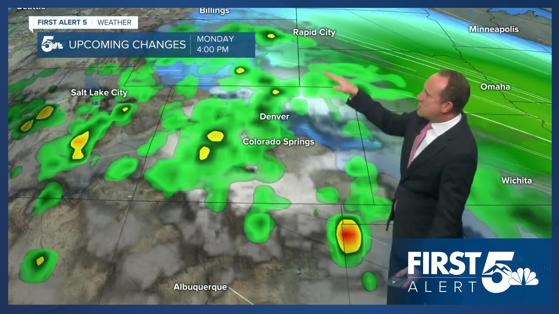
As for any rain on Wednesday, we aren't expecting to see any wet weather for the Plains. In the mountains, a slight chance of rain and isolated thunderstorms will be possible this afternoon, especially along and near the Continental Divide.
Colorado Springs forecast: High: 88; Low: 59. After a couple of storms earlier this week, skies will dry out significantly today, allowing for warmer highs this afternoon in the upper 80s.
Pueblo forecast: High: 95; Low: 61. Warming highs will bring a couple days of heat to the Steel City ahead of some cooler and wetter changes this weekend.
Canon City forecast: High: 92; Low: 64. On Wednesday, we'll swap out storms for heat, with highs this afternoon expected to climb into the lower 90s.
Woodland Park forecast: High: 80; Low: 50. After a couple of stormy afternoons, skies will be generally dry today, with a warmer high this afternoon up near 80 degrees.
Tri-Lakes forecast: High: 80s; Low: 50s. After heavy rainfall on Tuesday near Monument, we're expecting a much calmer day on Wednesday, with highs in the 80s this afternoon.
Plains forecast: High: 90s; Low: 60s. Sizzling summer heat will be on full display the next few afternoons. Highs in the 90s on Wednesday will give way to near triple digit heat tomorrow.
Walsenburg and Trinidad forecast: High: 80s/90s; Low: 50s/60s. Drying skies will allow for hotter highs this afternoon, with an even hotter day ahead on Thursday. A rogue shower may be possible today west of I-25.
Mountains forecast: High: 70s/80s; Low: 40s/50s. With high pressure over the Four Corners Region this morning, drier air will allow for fewer storms compared to the past few afternoons. Amy storms that we do see through Thursday will remain isolated in nature.
Extended outlook forecast:
Hot weather will reach its peak on Thursday, with a high of 92 degrees expected in Colorado Springs. This will come very close to the current record high at the airport of 94 degrees, last set in 2007. Highs will cool by a few degrees on Friday, topping out in the upper 80s.
Friday will also mark the start of a big change to our weather pattern. A cold front will bring an increase in moisture, with scattered thunderstorms by Friday afternoon. Scattered thunderstorms will remain in our forecast this weekend, with a growing potential for heavy rainfall by Sunday and next week. Highs will cool into the upper 70s this weekend in Colorado Springs, with lower 70s by early next week. Highs next week in Woodland Park will only warm into the 60s.
____
Curious about the First Alert 5 Weather Storm Impact Scale? Check out our cheatsheet explainer.
Watch KOAA News5 on your time, anytime with our free streaming app available for your Roku, FireTV, AppleTV and Android TV. Just search KOAA News5, download and start watching.
