

Today’s Forecast:
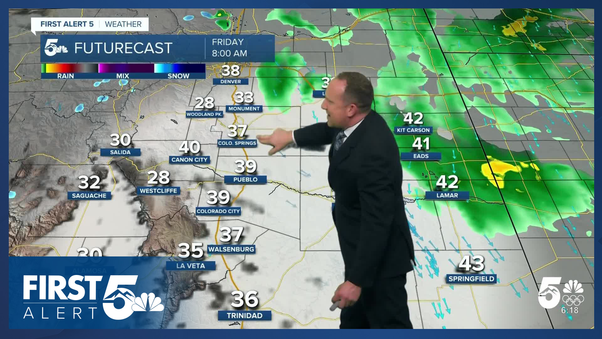
Our first real significant storm of the month is wrapping up this morning. While most of the remaining precipitation can be found on the eastern Plains and over the higher terrain, we could still see a few wrap-around showers in the Pikes Peak Region on Friday. Any showers that we do see are expected to be low impact and short lived, with snow levels at or above 7,000 to 7,500 feet.
Temperatures today will be pretty similar to yesterday, and a few degrees below average. Highs will warm into the 40s and 50s, with decreasing clouds expected late this evening. Overnight temperatures will cool down to the 10s and 20s in the mountain valleys, and the 20s tonight in the Pikes Peak Region.
Colorado Springs forecast: High: 49; Low: 29.
Partly sunny with an isolated shower or two possible during the afternoon and evening - but not the good drink of water seen yesterday. High cloudiness through much of the day, with mid-level clouds in the afternoon. North winds at 10-15 mph.
Pueblo forecast: High: 55; Low: 26.
AM high and mid-level clouds that clear out during the afternoon - overall partly cloudy. If you're very lucky, you could see a sprinkle today. North winds at 5-15 mph.
Canon City forecast: High: 53; Low: 32.
Mostly cloudy early becoming partly cloudy and eventually mainly sunny through the day. Light winds in the AM, variable but mostly from the northwest, shifting east and remaining very light in the afternoon. Only the 4th day so far this November with a high in the 50s or 40s.
Woodland Park forecast: High: 44; Low: 22.
Low clouds this morning with wet roadways - patchy freezing fog will remain possible west of downtown up toward Divide. That dissipates through the AM. Be careful traveling over bridges, but temperatures will generally be too warm for much ice on normal road surfaces due to CDOT tratements. A spot snow shower remains possible through early tonight, with low impacts. Mostly cloudy with north winds at 5-15 mph.
Tri-Lakes forecast: High: 40s; Low: 20s.
Mostly cloudy with a few rain showers, and fog possible early. North winds at 5-15 mph. Decreasing clouds this afternoon.
Plains forecast: High: 40s; Low: 20s.
Mostly cloudy with a few isolated rain showers - mainly in and north of Kiowa and Prowers counties. Patchy fog possible off-and-on through much of the day. Northwest winds at 5-10 mph.
Walsenburg and Trinidad forecast: High: 51/54; Low: 30/29.
Decreasing clouds, becoming mostly sunny. Northwest winds at 5-10 mph shifting northeast this afternoon.
Mountains forecast: High: 30s; Low: Teens/20s.
Partly cloudy skies with patchy morning fog and a few flurries possible, mainly in the mountains closer to the Pikes Peak Region. The Wets and Sangre de Cristos see clearing skies through the day. Light morning winds shifting northeast at about 5 mph during the afternoon.
Extended outlook forecast:
We'll see a break in the weather on Saturday, which should allow highs to rebound into the upper 50s in Colorado Springs and low 60s in Pueblo. By Sunday morning, our next storm will start to spread snow into our state's central and southern mountain ranges, with periods of rain in Colorado Springs and the southern I-25 corridor through the day.
Much like the last storm that we just saw, this will be another warm system. Because of its Pacific Ocean origins, snow levels will be high, with accumulations expected to remain at or above 7,000 to 7,500 feet.
Looking ahead to Thanksgiving week. We're expecting dry skies and warm highs in the upper 50s Monday in Colorado Springs, Pueblo, and the Plains. Our next cold front will drop highs down to the 30s and lower 40s both Tuesday and Wednesday, with a few flurries possible on Tuesday. Thanksgiving Day for now looks dry and mild, with highs in the 50s.
____
Curious about the First Alert 5 Weather Storm Impact Scale? Check out our cheatsheet explainer.
Watch KOAA News5 on your time, anytime with our free streaming app available for your Roku, FireTV, AppleTV and Android TV. Just search KOAA News5, download and start watching.
