


Today’s Forecast:
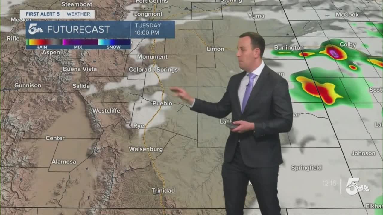
We have a lot of ingredients in place today for strong to severe daytime thunderstorms.
Storms will start over the mountains, Palmer Divide, and Raton Mesa in the early afternoon before they push east across the plains and grow in strength.
Severe weather threats include large 1 to 2 inch hail with 60 mph wind gusts. Isolated tornadoes will be possible today, mostly down along the Raton Mesa in Las Animas County, but possibly up around the Palmer Divide in NE El Paso County if we have enough of an easterly surface wind.
Storms may continue to pop up in the evening as dying storms kick out boundaries, but after midnight we should generally dry up into the morning.
Colorado Springs forecast: High: 80; Low: 52. Strong to severe thunderstorms will be possible this afternoon. Storms will start first over the mountains and north closer to the Palmer Divide, but storms could then spread through the rest of the city into the afternoon. Severe storm threats will include large hail and damaging winds with a small chance for an isolated tornado out east near Peyton and Calhan.
Pueblo forecast: High: 85; Low: 56. Strong to severe thunderstorms are possible this afternoon. Storms would have to make it into Pueblo from the mountains out in Fremont and Custer county, but if they do large hail and damaging winds will remain the biggest threats.
Canon City forecast: High: 83; Low: 55. Strong thunderstorms are possible today but severe weather is not expected. Storms would start over the mountains and grow bigger through eastern Fremont County. If we did see anything from storms, gusty winds and dime to nickel-sized hail would be our main threats.
Woodland Park forecast: High: 73; Low: 43. Thunderstorms are possible today but severe weather is not expected. If we did see any threats from storms it would be small hail, gusty winds, and lightning.
Tri-Lakes forecast: High: 70s; Low: 40s. Strong to severe thunderstorms are possible today, especially east of Black Forest along the north county line. Large hail, damaging winds, and even isolated tornadoes are all possible in the afternoon.
Plains forecast: High: 80s; Low: 50s. Severe storms are likely today across the plains for almost all areas east of Pueblo County. Large hail, heavy rain, and damaging winds are the main storm threats today.
Walsenburg and Trinidad forecast: High: 80s; Low: 50s. Scattered strong to severe thunderstorms will be possible today, especially across Las Animas County where the Raton Mesa boosts thunderstorm capabilities. Large hail and damaging winds are the main threats, but an isolated tornado cannot be ruled out east of Trinidad through Las Animas County.
Mountains forecast: High: 70s; Low: 40s. There won't be much rain west of the Wet Mountains or the Front Range today, but virga and gusty winds will be possible.
Extended outlook forecast:
Spotty thunderstorms are possible over the next two afternoons, starting first in the eastern mountains and growing in strength as they move east across the plains. Severe weather will be possible east day east of I-25.
We'll be hot and mostly dry into the weekend as a summer-like heat ridge builds over Colorado.
____
Curious about the First Alert 5 Weather Storm Impact Scale? Check out our cheatsheet explainer.
Watch KOAA News5 on your time, anytime with our free streaming app available for your Roku, FireTV, AppleTV and Android TV. Just search KOAA News5, download and start watching.
