

Today’s Forecast:
As advertised, Friday's forecast brought rain back to Southern Colorado, and it was our wettest day so far in August in Colorado Springs. Behind yesterday's cold front, we'll see a much cooler day today. Highs will be around 10-15 degrees cooler region-wide, with afternoon temperatures on Saturday in the 70s and 80s on the Plains.
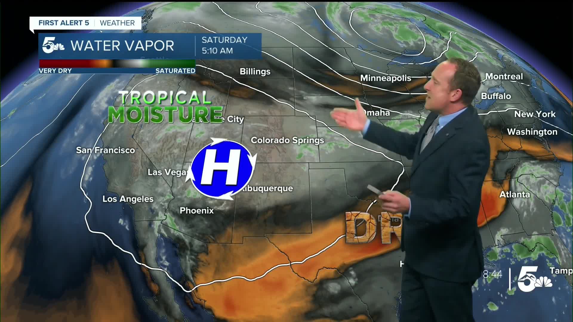
Storms will develop in the mountains this afternoon, with storms not likely for I-25 and the eastern Plains until after 3 or 4 pm. Much like yesterday, I see the potential for unsettled and wet conditions to stick around through this evening. While it won't rain the whole time, you should plan for showery conditions this evening if you're heading to the fair in Pueblo or out and about for a date night in the Pikes Peak Region.
Colorado Springs forecast: High: 76; Low: 56. After a high in the upper 80s on Thursday, our highs today in the Pikes Peak Region will be much, much cooler. Rain will return this afternoon with darkening skies anytime after 3 pm. With a similar set up to yesterday, storms will be capable of heavy rain, gusty winds, hail and frequent lightning.
Pueblo forecast: High: 83; Low: 58. After seeing highs in the 90s every day since the 12th of August, today's high of 83 degrees will be a welcomed change to the heat. Along with the cool down will come a chance for showers and thunderstorms today, with thunderstorms possible anytime after 4 pm.
Canon City forecast: High: 79; Low: 61. Much like what we saw on Friday, Saturday's forecast will remain unsettled, with a healthy chance for showers and thunderstorms this afternoon and evening.
Woodland Park forecast: High: 66; Low: 47. Our weekend will start out on a cooler and unsettled note, with highs today topping out in the middle 60s and highs on Sunday in the lower 70s.
Tri-Lakes forecast: High: 60s/70s; Low: 50s. Cool, almost fall-like temperatures can be expected on Saturday as highs this afternoon will only warm into the upper 60s and lower 70s. Today's cool down will come at a cost, with more rain expected this afternoon and evening.
Plains forecast: High: 70s/80s; Low: 50s/60s. Weekend temperatures will be the coolest of the month so far, with highs today in the 70s and 80s. On top of the cool down, we'll be watching for the potential for showers and strong to severe thunderstorms from late this afternoon through early Sunday morning.
Walsenburg and Trinidad forecast: High: 70s; Low: 50s/60s. While the weekend will start out dry, Saturday afternoon will once again feature rain, with scattered showers and thunderstorms back in the forecast today, and again on Sunday.
Mountains forecast: High: 50s/60s; Low: 30s/40s. An ongoing threat for rain this weekend will require some additional gear and layers for time spent in the mountains. With the potential for heavy rain both Saturday and Sunday afternoon, areas near burn scars, creeks and streams will be susceptible to flooding.
Extended outlook forecast:
Sunday's forecast will be slightly warm than today, with our high in the Springs rebounding to near 80 degrees. At the same time, Sunday looks wetter, with storms Sunday afternoon expected to bring an increased threat of flooding to the Pikes Peak Region.
Similar threats for heavy rain will continue into most of next week. Highs will be in the upper lower 60s and lower 70s early next week before warming into the middle to upper 70s from Wednesday to Friday.
____
Curious about the First Alert 5 Weather Storm Impact Scale? Check out our cheatsheet explainer.
Watch KOAA News5 on your time, anytime with our free streaming app available for your Roku, FireTV, AppleTV and Android TV. Just search KOAA News5, download and start watching.
