

Tonight's Forecast:
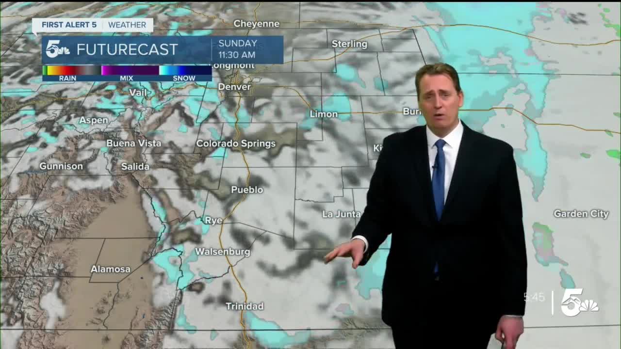
Christmas might be 2 days away, but the snow is coming early this year! A quick burst of snow is expected overnight Saturday with accumulations along the I-25 corridor in the 1-4" range. Trace amounts are expected for the far eastern plains as drier and warmer air hold tight for much of the night. However, as the storm system moves through and wraps around, a cold front moves in from the north. This will bring the cold air necessary to convert any rain showers over to snow. It will also bring blustery conditions closer towards morning. This will set up a blowing snow day for Christmas Eve with afternoon wind chills in the teens and single digits.
Colorado Springs forecast: Low: 23; High: 28;
Pueblo forecast: Low: 27; High: 34;
Canon City forecast: Low: 28; High: 35;
Woodland Park forecast: Low: 15; High: 22;
Tri-Lakes forecast: Low: 10s; High: 20s;
Plains forecast: Low: 20s; High: 30s;
Walsenburg and Trinidad forecast: Low: 20s; High: 30s;
Mountains forecast: Low: 10s; High: 20s;
Extended outlook forecast:
A gradual recover from the cold as we head into Christmas week. This pre-Christmas weather maker will quickly exit the state on Sunday afternoon, clearing the way for mostly sunny skies on Christmas day. From here, it's a slow climb back into the 40s and near 50 by Thursday. Overall, the extended forecast looks rather quiet, albeit seasonal with our afternoon temperatures.
____
Curious about the First Alert 5 Weather Storm Impact Scale? Check out our cheatsheet explainer.
Watch KOAA News5 on your time, anytime with our free streaming app available for your Roku, FireTV, AppleTV and Android TV. Just search KOAA News5, download and start watching.
