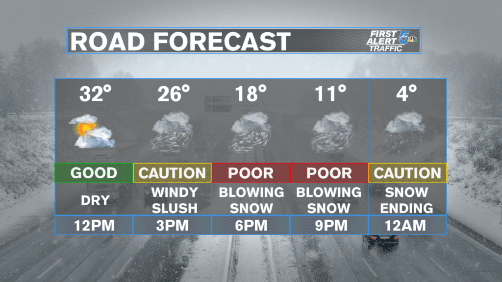
A winter system is on the move and will hit southern Colorado tomorrow. The two main areas for accumulating snow are the southern mountains of the Sangre De Cristos and Monument Hill/Palmer Divide. Here’s when you’re drive will be impacted most.
Monument Hill & Palmer Divide:
Snow should start showing up first in the Denver area and then push south to the Palmer Divide and Monument Hill following a very strong and cold north wind. Snow should reach Monument Hill starting around 2 pm and fall with the heaviest banding through 6 pm. Winds gusting to 20 or even 30 mph could reduce visibility to near zero at times for any drives on the north side of Colorado Springs but especially from Monument Hill through Denver. Lighter, blowing snow could keep falling over Monument Hill to Castle Rock till just past midnight, but the heaviest accumulations will likely occur from 3 pm through 8 pm.
Despite the heavy, driving snow, total accumulations for this storm over Monument Hill look fairly low. Most modeling suggests 1 to 2 inches will fall, but with strong up slope flow (northerly winds), anyone in the Tri-Lakes area should prepare for up to 4 inches of snow.
Most of Colorado Springs will see blowing snow showing up anytime after 2:30 pm, but very limited accumulation is expected. The heaviest snow will hit the city somewhere between 3 to 7 pm. Snow accumulation for the Briargate area and north will likely be an inch or more, but south towards downtown and east to the airport stands a much better chance of seeing less than an inch. Areas northeast towards Woodmen and Powers would be another area that could see an inch or more of snowfall.
Southern Mountains – Mainly Sangre De Cristos:
Snow should arrive to the Sangre De Cristo range around 6 am Wednesday morning and continue to fall through the afternoon. Snow accumulations, even in the mountains, should stay on the light side, despite strong winds making it looks like a much more powerful storm is falling. Most of the Sangres should see at least 3 to 4 inches with a few higher elevation areas probably getting over the 6 inch mark. Towns down below, such as La Veta and Westcliffe, should expect snow totals at or under 2 inches for the most part. Snow will likely not really accumulate down at the lower levels till 11 am through 3 pm.

