


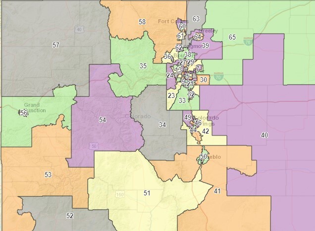
COLORADO — Colorado's independent legislative redistricting commission released its preliminary district map Tuesday.
Both commissions for congressional and General Assembly districts are using preliminary data from the U.S. Census Bureau as official data won't be released until August. Using early data allows maps to be drawn in time to not impact the 2022 election cycle.
Last week, the congressional independent commission released its preliminary map- which includes an eighth district for the state.
The preliminary map changes many political districts for the General Assembly for both the house and senate. In some cases, the districts will put incumbent elected officials in primaries or against one another in upcoming election cycles.
The independent commission is tasked with creating districts that are competitive, focus on communities of interest, and are as compact of boundaries as possible.
The commission will now hold town halls throughout the state to get feedback on the proposed districts. Maps are likely to change throughout the process.
FOR INTERACTIVE MAP OF LEGISLATIVE DISTRICTS CLICK HERE
El Paso County
El Paso County preliminary Senate districts

El Paso County preliminary house districts

Pueblo County
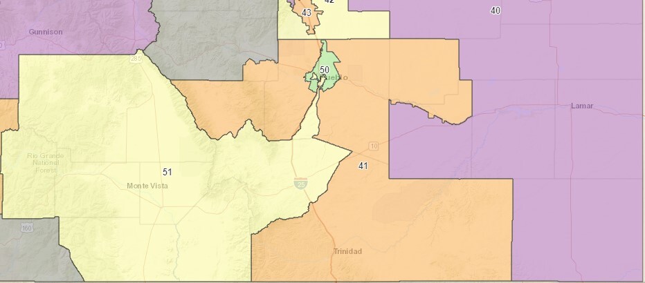
Southern Colorado preliminary Senate districts
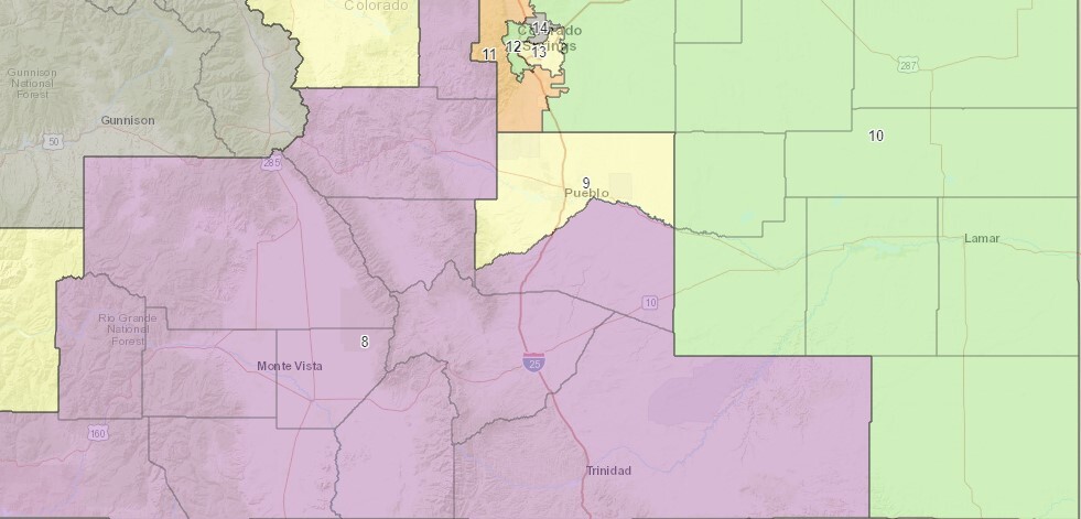
Southern Colorado preliminary senate districts
