

Today’s Forecast:
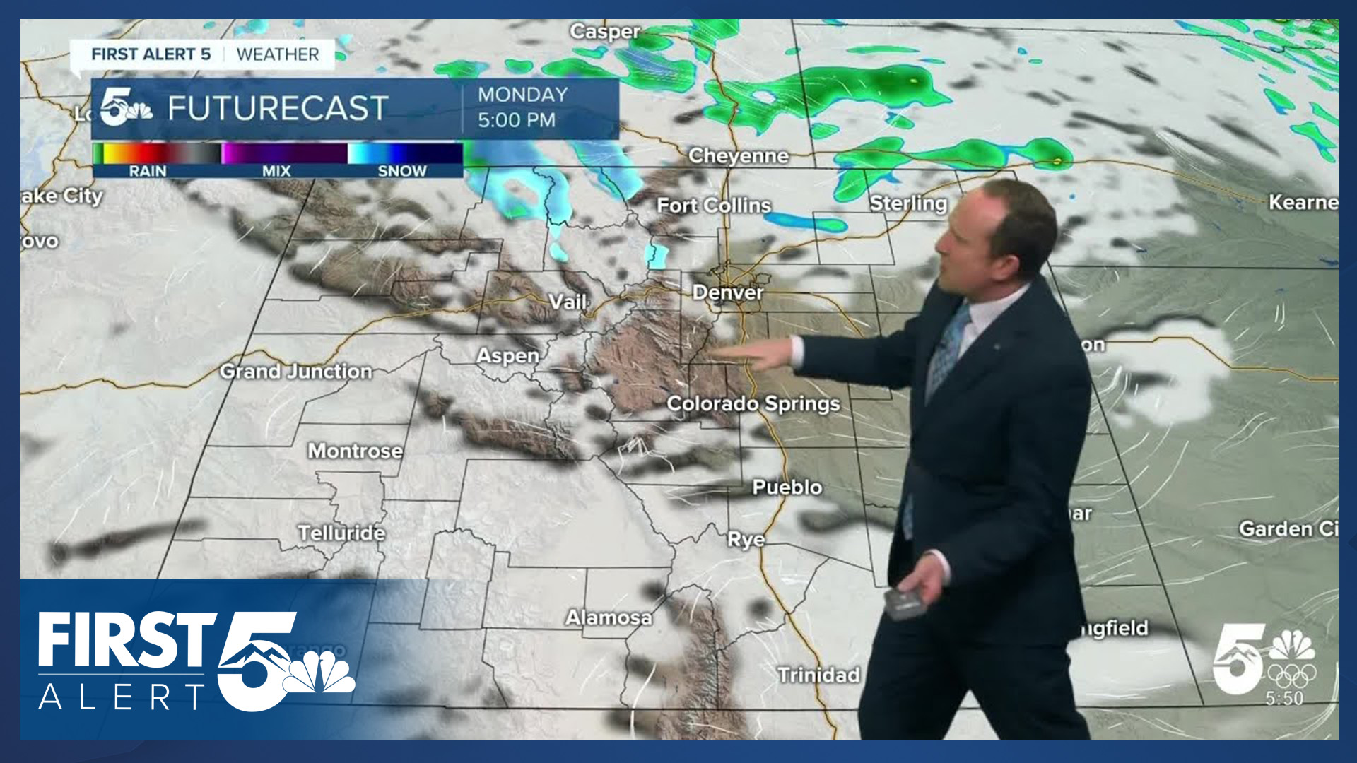
Much needed snowfall has returned to the mountains today and it really couldn't have come at a better time as statewide snow pack is a bleak 25% of average this morning. Snow showers will wrap up in the mountains this evening, with an additional 1-2" of accumulation in the central and southern mountains, and as much as 4-8" in the northern mountains.
Here in southeastern Colorado, we'll stay on the windy and dry side of today's storm. Westerly winds will strengthen during the morning hours and by the afternoon, gusts of 30-45 mph will be possible across Southern Colorado. Today's stronger gusts will favor the mountains and eastern slopes, including parts of the I-25 corridor.
Colorado Springs forecast: High: 60; Low: 32. A quick passing shower late last night dropped 0.01" of rain at the Colorado Springs Airport, which was our first day with measurable precipitation in more than 30 days. Today will be dry and windy, with highs cooler than Sunday.
Pueblo forecast: High: 68; Low: 29. A dry and windy start to the week, with highs today in the upper 60s and peak wind gusts this afternoon around 30-40 mph.
Canon City forecast: High: 64; Low: 35. Dry skies and a windy start to the week for eastern Fremont County, with peak gusts today up around 35-45 mph.
Woodland Park forecast: High: 53; Low: 25. Skies will stay dry on Monday in Teller County as low pressure tracks just far enough to the north to keep snow from reaching our area today. Instead, we'll see a lot of wind today, with peak gusts up around 35-45 mph.
Tri-Lakes forecast: High: 50s; Low: 20s/30s. Monday's forecast will be dry and windy over northern El Paso County, with westerly gusts peaking early this afternoon up around 40 mph.
Plains forecast: High: 60s/70s; Low: 20s/30s. Today's storm won't bring any snow to the Plains, but instead, wind will be our main story today. Peak gusts this afternoon could top 40 mph in some areas.
Walsenburg and Trinidad forecast: High: 50s/60s; Low: 30s. It will be a windy one in Huerfano and Las Animas counties today, with peak gusts in some areas up near 50 mph.
Mountains forecast: High: 40s; Low: 20s. While snow is likely today in the central and northern mountains, snow is not expected south of Highway 50. This will keep our southeastern mountains on the dry and windy side of today's storm, with peak gusts this afternoon as strong as 60 mph.
Extended outlook forecast:
Tuesday will bring partly cloudy skies and cooler highs to Southern Colorado. Our daytime high in Colorado Springs will warm into the upper 50s. Increasing southwesterly flow on Wednesday will bring a boost to our highs, pushing temperatures back into the lower 60s.
Our next storm that moves into California on Wednesday will bring more snow to the mountains of Colorado on Thursday, with rain and snow showers for the Pikes Peak Region. Snow levels look to start out around 8,000 feet on Thursday before lowering down to 6,500 to 7,000 feet by Thursday night. This all depends on the track of the low which remains in question this far out.
Highs will lower into the 40s in Colorado Springs late this week before rebounding into the 50s this weekend.
____
Curious about the First Alert 5 Weather Storm Impact Scale? Check out our cheatsheet explainer.
Watch KOAA News5 on your time, anytime with our free streaming app available for your Roku, FireTV, AppleTV and Android TV. Just search KOAA News5, download and start watching.
