

Today’s Forecast:
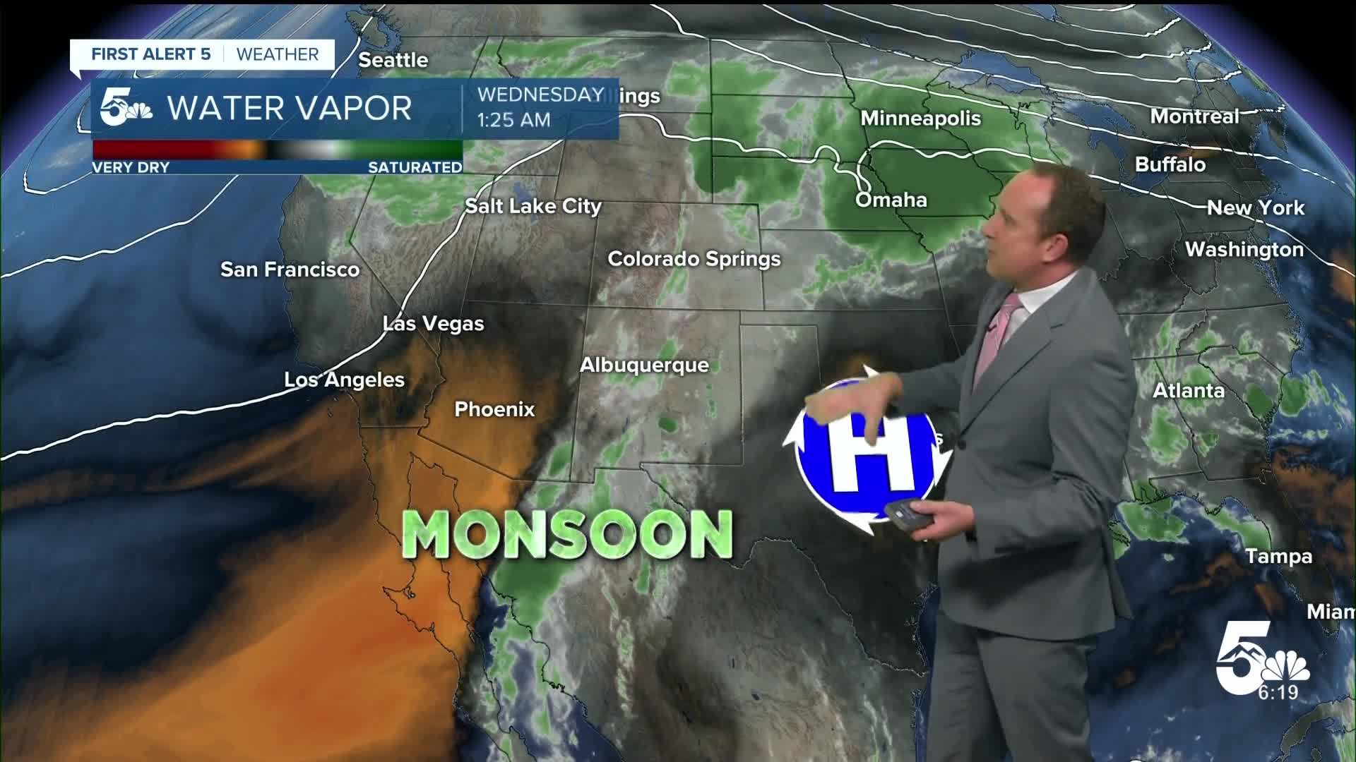
A cold front sweeping across the Plains this morning is bringing some strong north wind gusts to parts of Southern Colorado. Behind the front, moisture will increase near the surface as upslope flow builds throughout the day. During the afternoon hours, showers will begin to blossom in the mountains, with rain not likely reaching I-25 until later this afternoon or evening. The weather models are in fairly good agreement in showing a more solid line of slow moving storms from west to east across the state, with embedded pockets of heavy rain this evening.
The National Weather Service in Pueblo has issued a Flood Watch for parts of Southern Colorado today, in effect from 1 pm until 10 pm.

Colorado Springs forecast: High: 80; Low: 54. A Flood Watch will remain in effect on Wednesday from 1 pm until 10 pm, with the heaviest rain expected in the Pikes Peak Region from late this afternoon up until around 9 pm. Embedded heavier showers and thunderstorms could trigger urban flooding in some areas.
Pueblo forecast: High: 88; Low: 58. After highs in the 90s and 100s earlier this week, today's high of 88 degrees will be below the seasonal average of 93 degrees. After areas of flooding yesterday in town, another round of heavy rain will be possible late this afternoon and evening.
Canon City forecast: High: 85; Low: 59. Cooler and wetter on Wednesday as we're tracking the potential for heavy rain and thunderstorms late this afternoon and evening. Rain may reach town today as early as 3-4 pm.
Woodland Park forecast: High: 73; Low: 45. Rain will be slow to develop today, with showers not likely until early to mid afternoon. With increasing monsoon moisture across Teller County, storms will be capable of heavy rain and flooding.
Tri-Lakes forecast: High: 70s; Low: 50s. A cooler and more unsettled day can be expected on Wednesday as rain looks to develop by around 3-5 pm on the Palmer Divide. Heavy rainfall due to intense thunderstorms may cause localized flooding in some areas.
Plains forecast: High: 80s; Low: 50s/60s. Skies will be dry most of the day, with temperatures continuing to cool after 90s and 100s earlier this week. A steady line of storms that forms to west our this afternoon will reach us this evening, with rain showers continuing in some areas well past midnight.
Walsenburg and Trinidad forecast: High: 70s/80s; Low: 40s/50s. On Wednesday, we will see a continued risk of heavy rainfall and slow moving storms. Flash flooding will be possible where heavy rain sets up, mainly focused towards the late afternoon and evening hours.
Mountains forecast: High: 60s/70s; Low: 30s/40s. Our southeastern mountains will be included in today's Flood Watch, which is set to remain in effect from 1 pm to 10 pm. Storms will fire off early this afternoon and should come to an end around sunset tonight.
Extended outlook forecast:
With sub-tropical moisture remaining elevated late this week, we'll continue to see elevated chances for rain each day. Flood threats look to lessen day by day, but with the potential for areas of heavy rain in our forecast, localized flooding will remain possible through Friday evening.
Highs will top out in the 70s and 80s on the Plains late this week before warming back into the 80s and 90s this weekend. A few isolated storms will be possible on Saturday along and east of I-25, with rain not likely by Sunday as the atmosphere dries out.
____
Curious about the First Alert 5 Weather Storm Impact Scale? Check out our cheatsheet explainer.
Watch KOAA News5 on your time, anytime with our free streaming app available for your Roku, FireTV, AppleTV and Android TV. Just search KOAA News5, download and start watching.
