


Tonight's Forecast:
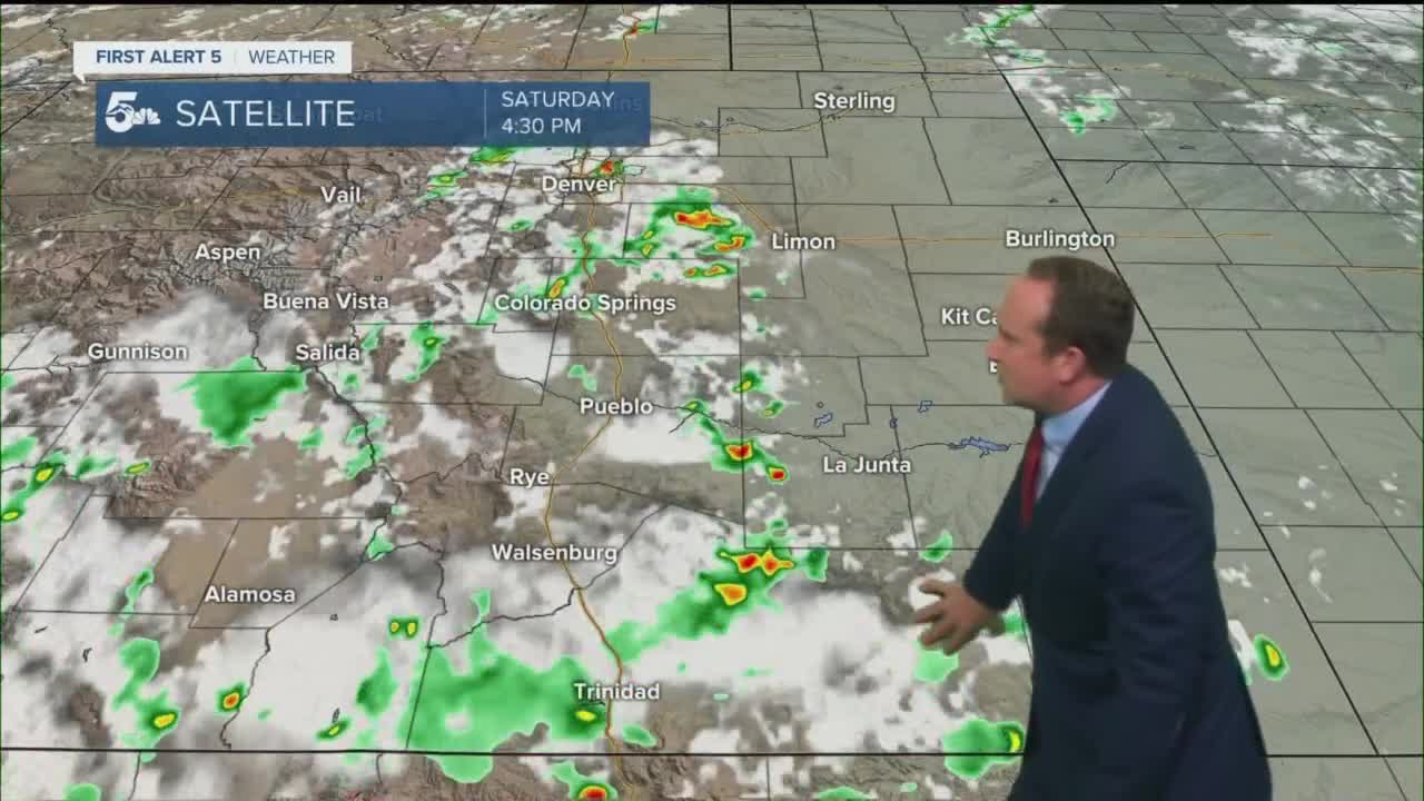
Scattered thunderstorms will continue over the Plains through late this evening, meaning that any outdoor date night plans might require an umbrella. With good storm dynamics east of the interstate, a few stronger storms will have the potential to reach severe criteria. Whether they do or do not, tonight's storms will be capable of producing heavy rain, small hail, gusty winds and lots of lightning.
As storms fade away before midnight, we'll be left with a mild and partly to mostly cloudy night across Southern Colorado.
Colorado Springs forecast: Low: 63; High: 84; A little heat relief on Sunday as we'll see a change in the weather pattern with the return of deeper monsoonal moisture. Scattered thunderstorms will be possible by the afternoon before a transition of sorts to the potential for heavy rainfall by the evening hours.
Pueblo forecast: Low: 66; High: 90; A wet and cooler end to the weekend, with the potential for heavier rain and thunderstorms by the afternoon and evening hours. A Flood Watch will go into effect for Pueblo County at 2 pm, and continue through midnight.
Canon City forecast: Low: 67; High: 88; A Flood Watch will go into effect Sunday afternoon for Fremont County, and continue through midnight. This will highlight the potential for flooding around the county, with heavy rain possible by the evening.
Woodland Park forecast: Low: 54; High: 74; Teller County will also be under a Flood Watch Sunday afternoon and evening, and while severe weather isn't expected to be a big concern tomorrow, the potential for heavy rain will need to be watched closely
Tri-Lakes forecast: Low: 50s/60s; High: 70s/80s; A Flood Watch has also been issued for the Palmer Divide on Sunday, with the potential for heavy rainfall to move into our forecast during the late afternoon and evening hours.
Plains forecast: Low: 60s; High: 80s/90s; As the main plume of monsoonal moisture pushes east into the Plains on Sunday, we'll see the potential for afternoon and evening thunderstorms, with the main threats being heavy rain, small hail, gusty winds and lightning.
Walsenburg and Trinidad forecast: Low: 50s/60s; High: 80s; A relatively mellow Sunday morning will give way to widespread showers and thunderstorms by late afternoon and evening. With the monsoon moisture more directly overhead, we could see some good soakers tomorrow, leading to flooding in some areas.
Mountains forecast: Low: 40s/50s; High: 60s/70s; After a quiet morning, the rain is likely to come pretty early in the day for the mountains. Because of the potential for heavy rain over the southeastern mountains, Flood Watches will go into effect at noon and last until midnight. Burn scar flooding, as well as flooded out creeks, streams and roadways will be a concern.
Extended outlook forecast:
Widespread precipitation will linger into Monday morning in some areas, followed by a brief break, then scattered showers and thunderstorms Monday afternoon. An upper ridge of high pressure will settle back into our region around the middle of the week, with warmer and drier conditions likely for the Plains from Tuesday to Thursday. During this time, the mountains will still continue to see isolated to scattered daily storm chances.
____
Curious about the First Alert 5 Weather Storm Impact Scale? Check out our cheatsheet explainer.
Watch KOAA News5 on your time, anytime with our free streaming app available for your Roku, FireTV, AppleTV and Android TV. Just search KOAA News5, download and start watching.
