

Today’s Forecast:
Compared to yesterday, temperatures this morning are going to be much warmer, especially along the I-25 corridor and across the Pikes Peak Region. A sign of foreshadowing perhaps as our well advertised heat wave becomes even more of a reality this afternoon. Highs today will soar into the 80s and 90s on the Plains, with 70s and 80s into our mountain valleys.
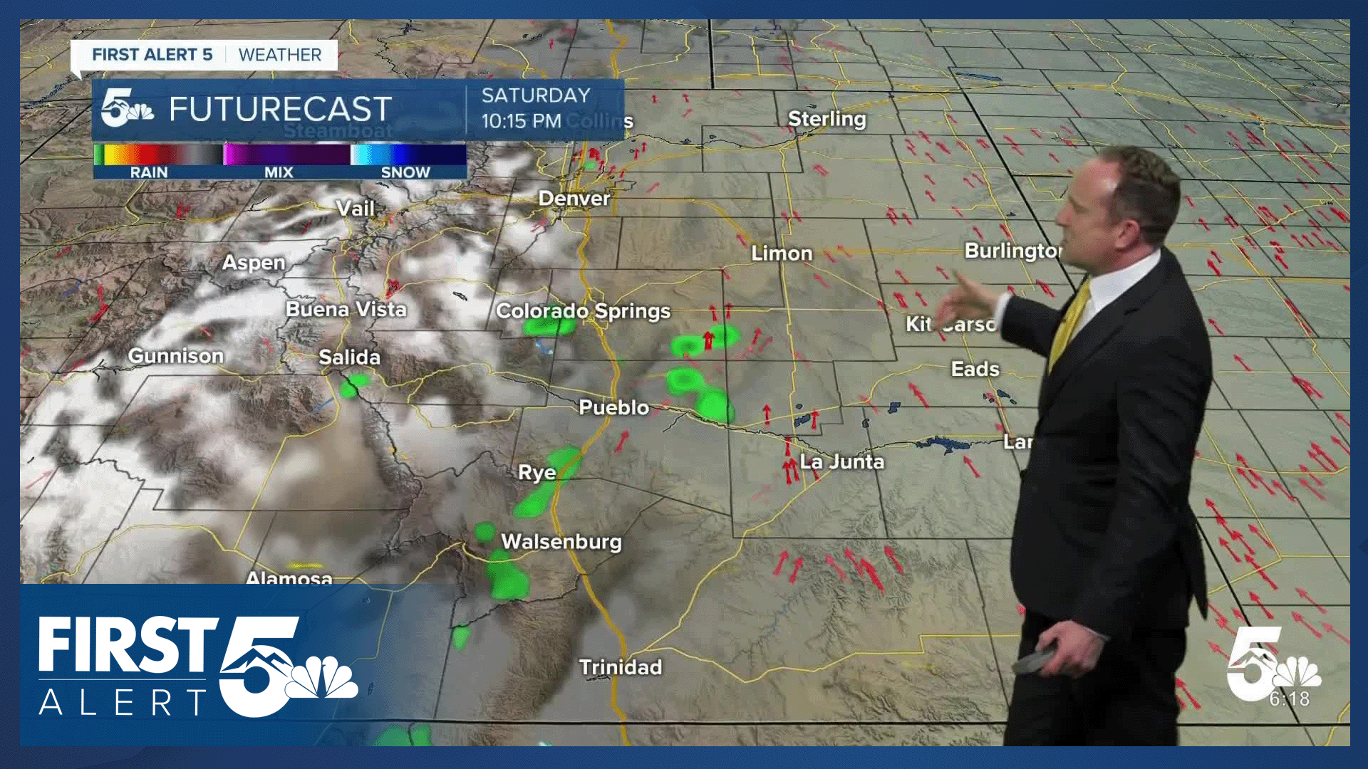
Also like yesterday, skies will turn partly to mostly cloudy this afternoon as high based showers develop as early as 11 am to noon in the mountains. Outside of seeing a few showers or thunderstorms today in the mountains, we are expecting mainly dry skies along and east of I-25. Coverage of any storms in the lower terrained areas will be spotty today at best.
Colorado Springs forecast: High: 88; Low: 57. It will be hot on Friday, with increasing clouds in the afternoon and a low end chance of a shower or thunderstorm in the Pikes Peak Region.
Pueblo forecast: High: 96; Low: 57. Sunshine this morning will give way to a mix of sun and clouds this afternoon and some very hot conditions. Highs will soar into the middle 90s this afternoon in the Steel City.
Canon City forecast: High: 93; Low: 59. Try to find a way to keep cool these next few days as this afternoon will mark the start of a long stretch of 90 degree plus days for Canon City.
Woodland Park forecast: High: 79; Low: 48. Much like what we saw yesterday, we will see the potential for a few showers and thunderstorms in Teller County today. Storm chances overall will be on the low side and severe weather is not expected.
Tri-Lakes forecast: High: 80s; Low: 50s. Sunshine this morning will be followed by increasing clouds and a slight chance of a shower or thunderstorm this afternoon nearby the Palmer Divide, with highs today around 10 degrees above average.
Plains forecast: High: 90s; Low: 50s/60s. Highs in the 90s can be expected this afternoon and again on Saturday, with triple digits late this weekend in some areas.
Walsenburg and Trinidad forecast: High: 80s/90s; Low: 50s. Sunny and hot on Friday, with rain not expected this afternoon on the southern I-25 corridor.
Mountains forecast: High: 70s; Low: 40s. While rain won't be widespread today, a few showers may briefly impact outdoor plans in the mountains on Friday. Showers will begin to blossom between 11 am and noon, with additional showers possible throughout the day.
Extended outlook forecast:
A large ridge of high pressure will boost temperatures further into the upcoming weekend, with upper 80s on Saturday in Colorado Springs, and a high of 92 degrees on Sunday. Sunday's record at the Colorado Springs Airport is 97°F (2010). Much like today, there will be a few high based showers over the mountains on Saturday, with only around a 10% chance of a shower in Colorado Springs. Sunday looks dry region-wide, with triple digits on the Plains.
A cold front on Monday will drop us down to the middle to upper 80s and now looks dry after showing signs of rain earlier this week. 90s will return to Colorado Springs in the mid-week period, and with increasing wind in the forecast, fire danger is likely to become a concern for parts of Southern Colorado.
____
Curious about the First Alert 5 Weather Storm Impact Scale? Check out our cheatsheet explainer.
Watch KOAA News5 on your time, anytime with our free streaming app available for your Roku, FireTV, AppleTV and Android TV. Just search KOAA News5, download and start watching.
