


Many gorgeous cloud-filled sunrise and sunset photos have come into our newsroom over the last several weeks, and those pretty clouds can actually help you predict upcoming weather at your home.

With all of the wind we've seen here in the last few weeks in southern Colorado, you've likely noticed something else: clouds next to the mountains. These clouds can tell you a lot about upcoming weather if you see them.
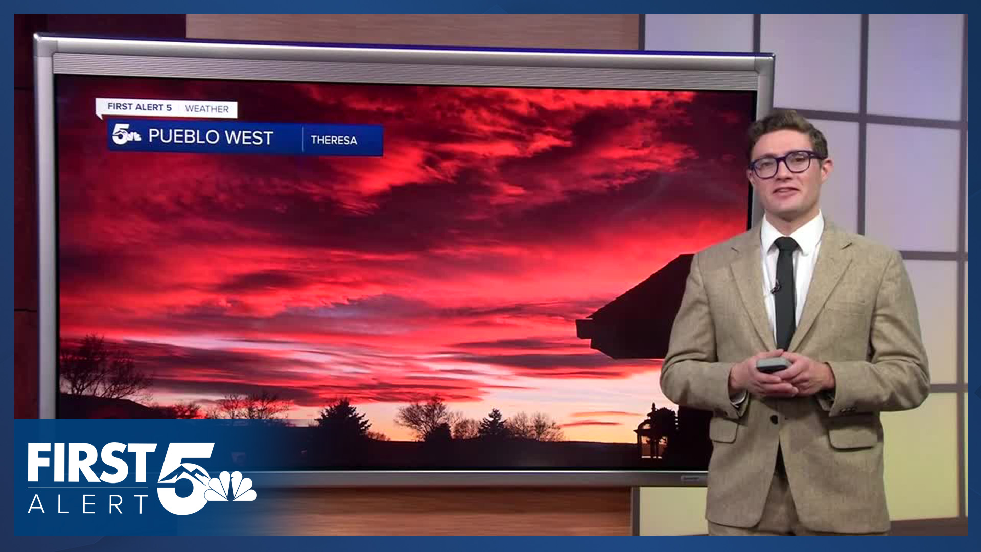
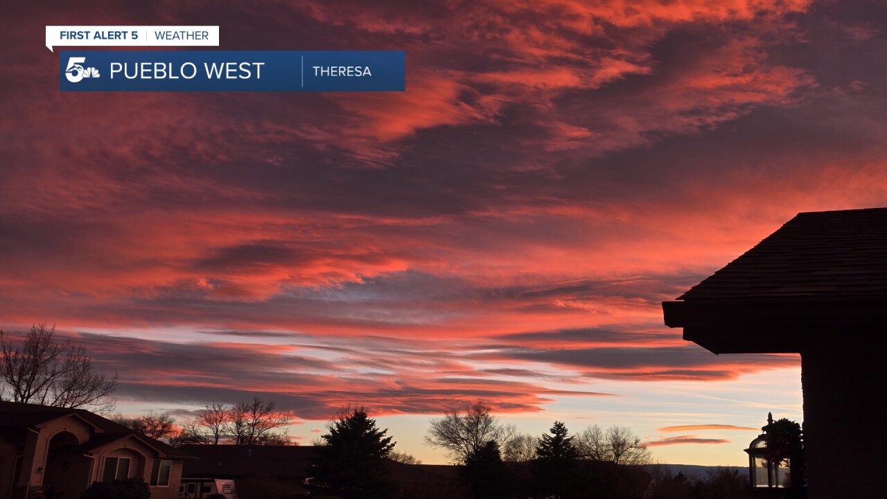
Many viewers have sent us photos of vibrant sunrises and sunsets with these clouds throughout November and December. These are mountain wave clouds — rounded, pancake-shaped clouds that form at about the height of our mountain summits.
You can identify them through their appearance, and location. They form over the mountains, extend downwind of them, and dissipate to the east - at least along the Front Range.

Mountain wave clouds form when strong winds hit the mountains head-on. The air is forced upward by the mountain and the air condenses, forming a cloud. As the air continues to the east, it goes back down and the cloud goes away.
Whether the wind makes it to the ground depends on the air temperature above the mountains. If the air is cooler above the mountains, it tends to force the strong wind down the side of the mountains, producing a downslope windstorm.
When you see these clouds, you know several things. First, the upper level winds are strong and there's some moisture in the air. Second, the clouds indicate major air turbulence that will lead to a bumpy ride if you're flying!
Other than the pretty sunrises and sunsets, the biggest thing these clouds tell you is that there is strong wind energy in the atmosphere, which can lead to strong wind in the foothills. How far down-mountain those winds get, is determined by the temperature and wind profile above the mountain summits. That's why you don't always get high wind when you see these clouds, but you almost always see these clouds when you do get strong winds - especially if you live just east of the Front Range or southern mountains.
This story was reported on-air by a journalist and has been converted to this platform with the assistance of AI. Our editorial team verifies all reporting on all platforms for fairness and accuracy.
____
Have a question or story idea you would like the First Alert 5 Weather team to consider? Email: weather@koaa.com
Watch KOAA News5 on your time, anytime with our free streaming app available for your Roku, FireTV, AppleTV and Android TV. Just search KOAA News5, download and start watching.
