

Today’s Forecast:
Partly cloudy skies and cool temperatures will greet you as you head out the door this morning. Might want to consider a jacket as some areas are waking up to temperatures in the 40s. High pressure to our west, plus northwest flow aloft will boost temperatures this afternoon by as much as 8-12 degrees from yesterday. Highs will warm into the 70s and 80s across Southern Colorado.
A weak disturbance in the northwest flow will lead to a few spotty showers this afternoon from the Pikes Peak Region and eastern mountains to the southeastern Plains. As storms move into the Plains, they could briefly reach severe criteria, with gusts to 58 mph and hail up to 1" in diameter. Our best chance of seeing a storm today in Colorado Springs and Woodland Park will be between 1-5 pm.
Colorado Springs forecast: High: 78; Low: 50. After only warming into the upper 60s on Sunday, highs today will be around 10°F warmer. Towards the early to mid afternoon hours, we could see a quick passing shower, with rain chances today low overall at 20%.
Pueblo forecast: High: 85; Low: 54. Our work week will begin warm, but just shy of the average high for this time of the year of 89°F. Rain is not likely today in the Pueblo area.
Canon City forecast: High: 83; Low: 54. Skies today will be mostly sunny to partly cloudy, with rain not likely early this week in eastern Fremont County. Highs this afternoon will top out in the lower 80s.
Woodland Park forecast: High: 71; Low: 42. Low 70s and a mix of sun and clouds will give way to a chance for showers and thunderstorms towards the lunch hour. Storms will be very hit or miss in nature, and should diminish by 5 pm.
Tri-Lakes forecast: High: 70s; Low: 40s. Monday's forecast will be comfortable and nice, with only a slight chance of an afternoon shower or thunderstorm.
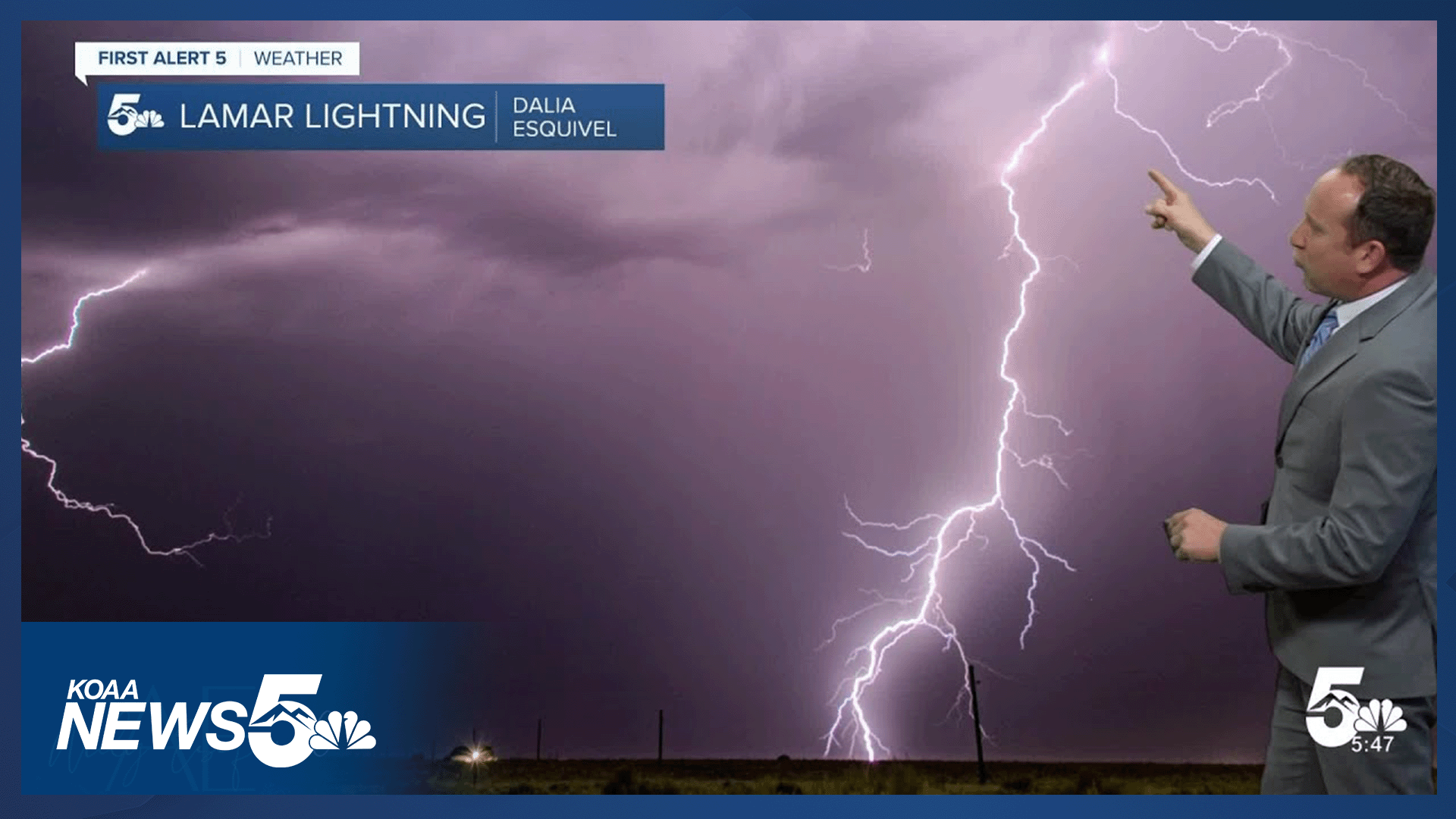
Plains forecast: High: 80s; Low: 50s. Storm chances will be low on the High Plains on Monday, with our best chance for a strong or severe thunderstorm today in Prowers and Baca counties. Storms that form here could produce 1" hail and wind gusts to 60 mph.
Walsenburg and Trinidad forecast: High: 70s/80s; Low: 40s/50s. Mostly sunny skies this morning will give way to increasing clouds and around a 30% chance of seeing a shower or thunderstorm this afternoon or early this evening.
Mountains forecast: High: 60s; Low: 30s/40s. Showers won't be very strong nor very widespread today, but in the high country, scattered showers and thunderstorms will be possible this afternoon and early this evening. Storms could pulse up as early as the lunch hour.
Extended outlook forecast:
High pressure to our west will bring the heat to Southern Colorado in the mid-week period. Tuesday's high in Colorado Springs will warm into the upper 80s, with Wednesday's high in the upper 90s. Wednesday's record high in the Springs is 97°F. It's possible that we could tie or break the record on Wednesday. Pueblo will be even hotter Wednesday, warming to the triple digits.
High fire danger is also likely on Wednesday for many parts of Southern Colorado.
A Wednesday night cold front will drop highs on Thursday by as much as 15-20°F to the lower 80s in Colorado Springs. Hotter weather will return from Friday into the weekend, along with a chance for thunderstorms.
____
Curious about the First Alert 5 Weather Storm Impact Scale? Check out our cheatsheet explainer.
Watch KOAA News5 on your time, anytime with our free streaming app available for your Roku, FireTV, AppleTV and Android TV. Just search KOAA News5, download and start watching.
