

Today’s Forecast:
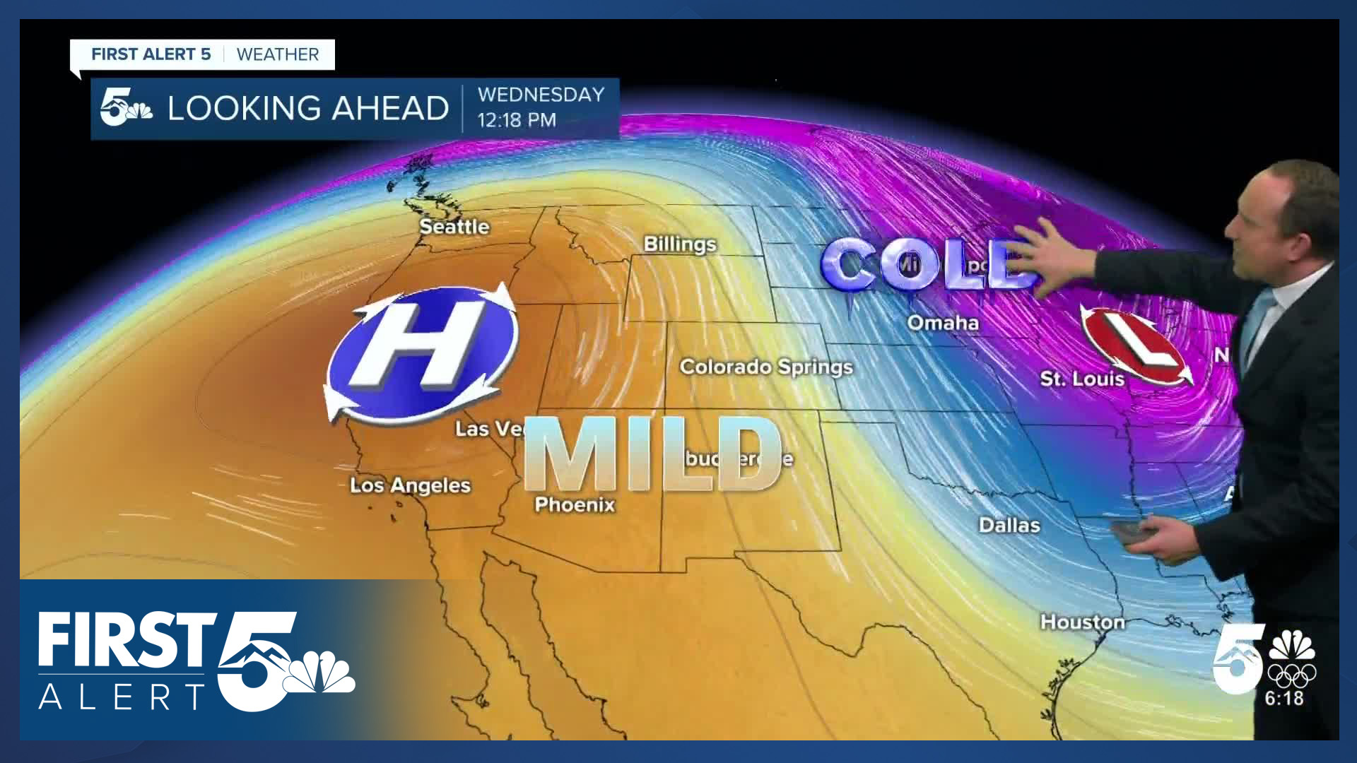
Another mild day is ahead, with sunshine early giving way to increasing high clouds throughout the day. A ridge of high pressure over the Pacific Northwest will continue to strengthen on Tuesday as a large trough dives down across the center of the country. Highs today will be about 10-15 degrees above average.
As energy from the trough moves into Colorado, it will turn breezy in the mountains this morning. By the late afternoon, it will be noticeably breezy over the Palmer Divide, with N/NW winds gusting from 25-35 mph.
A dry cold front will arrive tonight from the upper-level trough. It will lead to breezy conditions spreading across parts of Colorado. We'll also see an increase in mid-level cloud cover making for a mostly cloudy evening. Lows tonight drop down to the 20s and 30s...cooler than conditions this morning, but still well above average. The bulk of this system's energy and cold air will remain east of Colorado.
Colorado Springs forecast: High: 56; Low: 31. Clouds will increase during the day on Tuesday, with the strong high pressure system to our west continuing to bring the warmth to the Pikes Peak Region. Tonight's cold front looks mainly dry, with wind gusts to 30 mph behind the front.
Pueblo forecast: High: 61; Low: 27. In Pueblo on Tuesday, we'll see dry skies and a return to the lower 60s for the first time since last Wednesday. A cold front tonight will bring some gusty north winds to Pueblo County, but no snow.
Canon City forecast: High: 63; Low: 34. Temperatures will continue to climb on Tuesday under the influence of high pressure. A cold front tonight will drop highs on Wednesday by as much as 8-12 degrees from today.
Woodland Park forecast: High: 52; Low: 25. The 50s are back, and this won't be the only time this week that we'll be this warm. After a cool down tomorrow, highs will return to the 50s Thursday.
Tri-Lakes forecast: High: 50s; Low: 20s/30s. Mild, with increasing clouds during the day as a cold front approaches from the north. Behind the front, NW wind gusts from 25-35 mph will be possible. While most areas should stay dry, some models are spitting out a few flurries or rain drops late tonight or tomorrow morning.
Plains forecast: High: 50s/60s; Low: 20s/30s. Ahead of tonight's cold front will come an even warmer day for the southeastern Plains, with highs this afternoon warming into the 50s and lower 60s. Tonight's cold front will bring gusts to 35 mph, and a small chance of a shower east of I-25.
Walsenburg and Trinidad forecast: High: 50s/60s; Low: 20s/30s. Sunshine early will give way to increasing clouds this afternoon as a cold front drops in from the north. This will be a dry system, with only modest cooling to follow on Wednesday.
Mountains forecast: High: 40s; Low: 10s/20s. Dry skies in the southeastern mountains on Tuesday, with increasing clouds towards the afternoon and evening hours. Winds will be out of the N/NW today, sustained around 10-15 mph.
Extended outlook forecast:
It will remain breezy on Wednesday morning with a few pockets of fog possible over the Palmer Divide and partly to mostly cloudy skies for the rest of Southern Colorado. If we do see a shower or flurry tonight or Wednesday morning, it would be east of I-25. Clouds will clear out during the afternoon, and it will be cooler, with highs in the 40s and 50s.
Downslope breezes will lead to a rebound in highs Thursday into the 50s and 60s. A second Canadian front will push south into Colorado on Thursday night. This front will be stronger than tonight's but should still be dry. As a result, expect another round of breezes Thursday night into Friday morning. Highs Friday will mainly be in the 40s, and it will remain cool on Saturday as well.
Temperatures rebound Sunday as northwesterly downslope flow returns.
It's important to note that while our pattern is dry throughout this forecast period, that's not atypical in January. January is the second driest month of the year in Colorado Springs - and the 3rd snowiest. So far, we've seen 13.3" of snow this January. The last time at least 13" of snow fell in January in Colorado Springs was in 2015 - when the airport recorded 13.5". For precipitation, the numbers are even more notable. The 0.92" of liquid equivalent that's fallen at the airport, is the 4th most on record - for the entire month of January, with more than half of the month to go. Those records go back to 1895. It is much more significant that the mountains are not getting snowfall right now. Statewide, snowpack liquid equivalent is 4.8", which is tied for the lowest on record since SNOWTEL records began in 1987. With snow unlikely in the extended forecast, we'll almost certainly be setting new statewide record lows in the coming week.
____
Curious about the First Alert 5 Weather Storm Impact Scale? Check out our cheatsheet explainer.
Watch KOAA News5 on your time, anytime with our free streaming app available for your Roku, FireTV, AppleTV and Android TV. Just search KOAA News5, download and start watching.
