

Today’s Forecast:
Clearer skies this morning will allow for a warm-up this afternoon, with highs warming into the 70s and 80s.
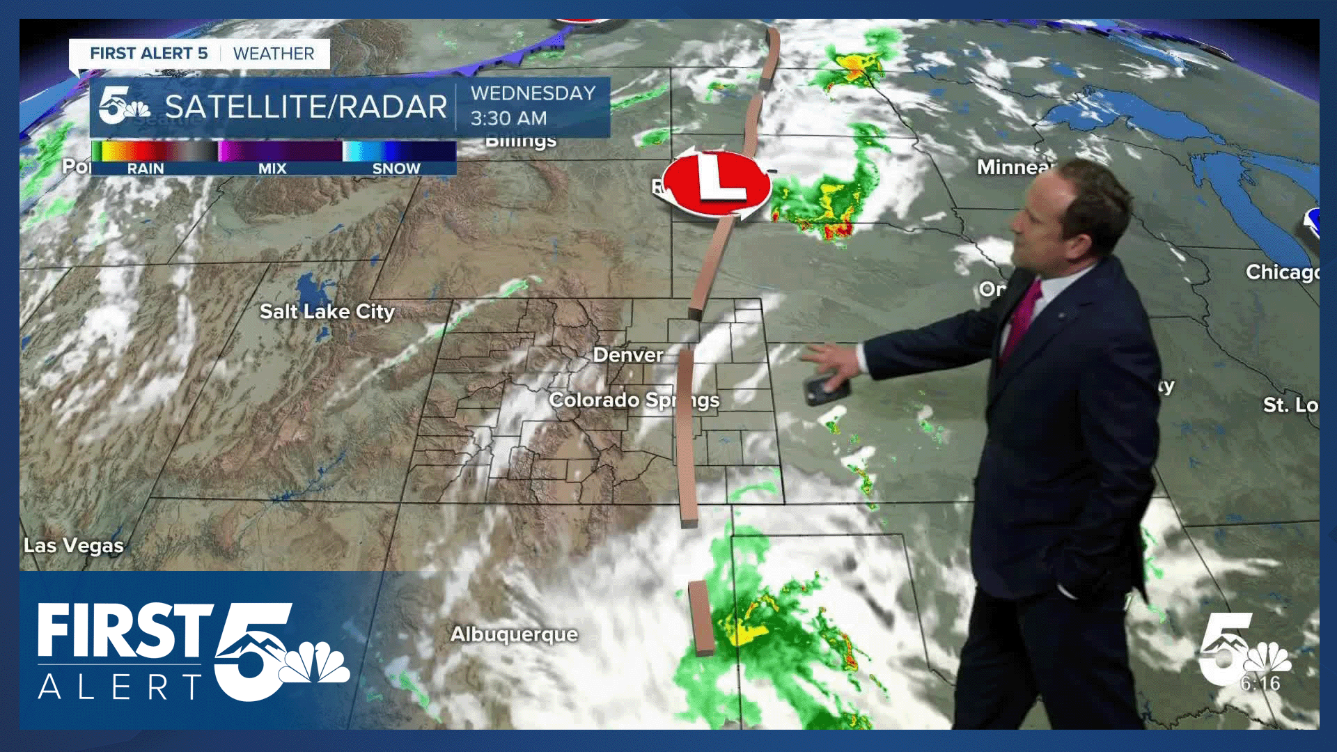
Rain chances will also be on the rise this afternoon as energy from New Mexico helps to increase moisture across Southern Colorado. This energy will interact with a surface boundary that will push up against the mountains early this afternoon. This will become a focal point for showers and thunderstorms. Storms will then move east, reaching I-25 between 3-6 pm, with a few showers lingering into the evening hours.
Severe threats will be low today, with the potential risk of large hail and gusty winds well east of I-25. In these areas, severe storms should be few and far between.
Colorado Springs forecast: High: 79; Low: 51. Skies are starting out clearer this morning than what we saw on Tuesday. This will allow for a warmer afternoon and a better chance for thunderstorms. A few showers may pulse up between 1-3 pm, with our best chances for rain today between 4-6 pm.
Pueblo forecast: High: 85; Low: 54. After warming into the upper 70s on Tuesday, highs will rebound into the middle 80s this afternoon. Rain chances will be fairly low for Pueblo today, with a chance for a shower or thunderstorm late this afternoon and this evening.
Canon City forecast: High: 83; Low: 55. A quiet morning will give way to a warm afternoon, with scattered showers and thunderstorms during the afternoon and evening hours.
Woodland Park forecast: High: 72; Low: 45. Dry skies this morning will turn stormy this afternoon, with the initial round of showers forming between 12-2 pm. Scattered thunderstorms will continue through early this evening, with any lingering showers wrapping up by sunset.
Tri-Lakes forecast: High: 70s; Low: 40s/50s. Partly to mostly cloudy skies this morning will give way to another stormy afternoon. Storms will begin to pulse up between 2-3 pm, with showers lingering into the early evening hours.
Plains forecast: High: 70s/80s; Low: 40s/50s. A few showers have continued this morning on the southeastern Plains. These will increase throughout the day in response to a storm coming out of New Mexico and Texas. Locally heavy rainfall could lead to flooding in some areas, with storms also capable of frequent lightning and 1" hail.
Walsenburg and Trinidad forecast: High: 70s/80s; Low: 40s/50s. Today's forecast will feature a slight chance of showers and thunderstorms. Storms are not expected to reach severe criteria, and should wrap up this evening.
Mountains forecast: High: 60s/70S; Low: 30s/70s. Rain showers and thunderstorms will begin to pulse up towards the end of the lunch hour, with thunderstorm chances remaining possible through early this evening around Pikes Peak and the southeastern mountains.
Extended outlook forecast:
Drier air begins to filter into Southern Colorado and the Pikes Peak Region on Thursday. Highs will climb into the middle 80s to lower 90s on the Plains, with a thunderstorm or two possible by the afternoon hours. Severe weather is not expected.
Temperatures will soar into the upper 80s and 90s from Friday to Sunday, peaking Sunday afternoon at 89 degrees in Colorado Springs and 96 degrees in Pueblo! Showers this weekend will be very limited across the state.
____
Curious about the First Alert 5 Weather Storm Impact Scale? Check out our cheatsheet explainer.
Watch KOAA News5 on your time, anytime with our free streaming app available for your Roku, FireTV, AppleTV and Android TV. Just search KOAA News5, download and start watching.
