

Today’s Forecast:
More heavy rain will be possible over southwestern Colorado on Tuesday. Most of the heavier rain from last night will taper off this morning, but will give way to the potential for additional showers and thunderstorms this afternoon and evening. Closer to home, any rain that has fallen early this morning should wrap up before sunrise, with the exception of a few lingering showers on the eastern Plains. This afternoon and evening, an isolated shower or thunderstorm will be possible just about anywhere.
Temperatures today will be much warmer than yesterday, with a return to 70s and 80s on the Plains.
Colorado Springs forecast: High: 70; Low: 47. After a high in the upper 50s on Monday, highs today will be much warmer across the Pikes Peak Region. While rain isn't expected this morning, there's a slight chance that we could see a shower or two late this afternoon or evening.
Pueblo forecast: High: 77; Low: 50. After a fall-like day on Monday, temperatures will rebound into the upper 70s on Tuesday. Southwest wind gusts of around 25 mph will be possible, with much stronger gusts on Wednesday.
Canon City forecast: High: 74; Low: 51. A warm and breezy Tuesday is ahead for eastern Fremont County, with highs today rebounding into the middle 70s.
Woodland Park forecast: High: 63; Low: 41. After some very early morning showers, most of the rest of our Tuesday should be a dry, with only a slight chance of a shower or thunderstorm late this afternoon or evening.
Tri-Lakes forecast: High: 60s/70s; Low: 40s. Warm and sunny skies can be expected most of the day on Tuesday, with only a slight chance of a shower or thunderstorms towards the end of the day.
Plains forecast: High: 70s/80s; Low: 50s/60s. Early morning showers will wrap up before sunrise in most areas, with some additional showers and thunderstorms possible late this afternoon and evening. It will also be breezy today, with gusts to 35 mph this afternoon.
Walsenburg and Trinidad forecast: High: 60s/70s; Low: 40s/50s. Through early Tuesday afternoon, our forecast will be dry and breezy, with a few showers possible along the southern I-25 corridor later this afternoon and evening.
Mountains forecast: High: 50s/60s; Low: 30s/40s. Periods of heavy rain will remain a big concern in the San Juans and La Garitas today. These areas will be under a Flood Watch until at least midnight. In the southeastern mountains, we'll see a chance for scattered rain showers and thunderstorms this afternoon and evening.
Extended outlook forecast:
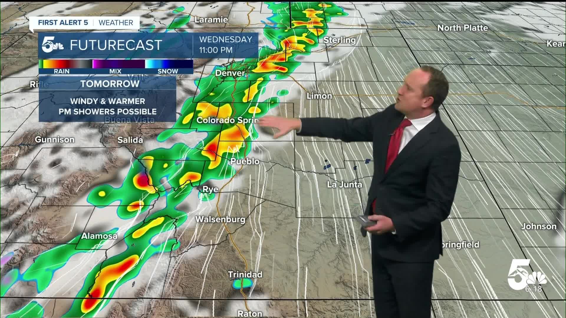
Wednesday will be warm and windy, with peak gusts as high as 30-45 mph. The southwest flow will help to keep us dry while also leading to a warm afternoon in the middle to upper 70s in Colorado Springs, with lower to middle 80s in Canon City and Pueblo. A line of showers moving out of the mountains late Wednesday could bring rain and thunderstorms to the I-25 corridor and and eastern Plains late Wednesday and Thursday.
Thursday will be cooler, with showers possible. A cold front Thursday evening will drop highs back down to the 60s through Saturday, with dry skies expected to persist in Colorado Springs throughout the upcoming weekend.
____
Curious about the First Alert 5 Weather Storm Impact Scale? Check out our cheatsheet explainer.
Watch KOAA News5 on your time, anytime with our free streaming app available for your Roku, FireTV, AppleTV and Android TV. Just search KOAA News5, download and start watching.
