

Today’s Forecast:
A strong ridge of high pressure will bring as much as 4-7 degrees of warming to our highs today. Temperatures will climb into the 80s this afternoon in Colorado Springs and Canon City, with 90s on tap for Pueblo and the lower Arkansas River Valley.
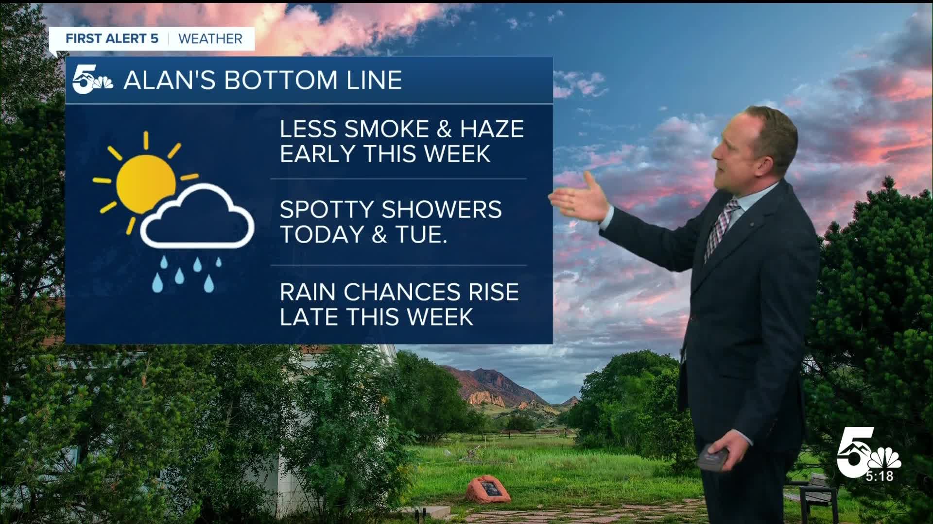
In the mid and upper levels of the atmosphere, we'll see a weak wave today over the mountains. This will bring a few spotty showers to the high country, with storms much more limited on the Plains. Evaporation from high based storms will generate some gusty winds and possible lightning, but very little rainfall for I-25 and the Plains. Storms in general will be fairly hit or miss across the region today.
Colorado Springs forecast: High: 83; Low: 55. After cooler than average highs the past three days, high temperatures this afternoon will return to the lower 80s. With increasing clouds this afternoon and energy moving off of the mountains, gusty winds and a few sprinkles will be possible.
Pueblo forecast: High: 90; Low: 55. Highs this afternoon will be around 5 degrees above average and warmer for us than what we saw last weekend. Moisture will favor the mountains today, with only a slight chance of a shower today from high based storms.
Canon City forecast: High: 87; Low: 57. Late September warmth will show back up early this week, with highs this afternoon in the upper 80s. While a shower or storm can't be ruled out today, chances for rain will only be around 20%.
Woodland Park forecast: High: 75; Low: 44. As highs warm from this past weekend, some energy moving through the state today could bring a few showers to Teller County anytime after 2 pm.
Tri-Lakes forecast: High: 70s/80s; Low: 50s. Temperatures will be warming across the region today, including here on the Palmer Divide, where highs this afternoon will warm into the upper 70s and lower 80s.
Plains forecast: High: 80s/90s; Low: 50s. After a break from the heat for the past 2 to 3 days, highs today will be warmer than average, with dry skies expected for most areas through this evening.
Walsenburg and Trinidad forecast: High: 70s/80s; Low: 50s. We'll start off the week with a warm-up and drier skies. Chances for rain this afternoon will only be around 10-20%.
Mountains forecast: High: 60s/70s; Low: 30s/40s. A weak disturbance crossing the state today will bring at least a small chance for rain and thunderstorms to the mountains today, with rain chances increasing slightly on Tuesday.
Extended outlook forecast:
From today through Thursday, temperatures won't change that much, with afternoon highs climbing into the lower to middle 80s each day in Colorado Springs. Highs in Pueblo will warm into the 90s each day through Thursday. A slight uptick in moisture on Tuesday may lead to a spot shower or thunderstorm across Southern Colorado. Chances for rain in the Springs on Tuesday will be around 30%.
We can expect drier skies and still warm highs on Wednesday and Thursday. An area of low pressure moving across the northern Rockies on Friday will push a cold front into Colorado. This will cool our highs by a few degrees heading into the weekend. It will also bring a slight uptick in moisture, with scattered thunderstorms possible, especially Friday and Saturday.
____
Curious about the First Alert 5 Weather Storm Impact Scale? Check out our cheatsheet explainer.
Watch KOAA News5 on your time, anytime with our free streaming app available for your Roku, FireTV, AppleTV and Android TV. Just search KOAA News5, download and start watching.
