

Today’s Forecast:
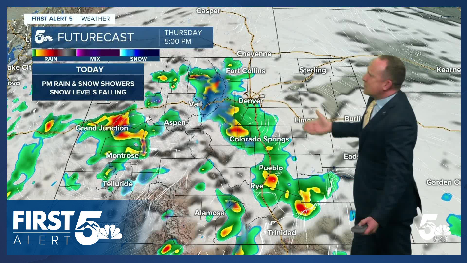
An area of low pressure will move from southern Nevada into Colorado over the next 12-24 hours, and it will bring some big changes to our forecast late this week. Rain and snow showers over the mountains this morning will spread east towards I-25 and the Plains late this afternoon and evening. Due to the warmer nature of this system, thunderstorms will be possible today, with a small risk of severe weather south of Highway 50.
Temperatures today won't change all that much from what we saw on Wednesday, topping out in the 50s, 60s and lower 70s.
Colorado Springs forecast: High: 66; Low: 41. Mild daytime highs will continue on Thursday, with dry skies expected until late this afternoon and evening. Today's incoming storm will also bring a chance for thunderstorms to the Pikes Peak Region, though severe weather is not expected.
Pueblo forecast: High: 70; Low: 40. Mild and dry during the day, with increasing chances for rain showers and thunderstorms this evening. While severe weather is not expected locally, we could see a few stronger thunderstorms today in Pueblo County.
Canon City forecast: High: 70; Low: 43. Dry skies this morning will give way increasing chances for showers and thunderstorms towards the late afternoon and evening hours as a storm over Nevada moves into Colorado.
Woodland Park forecast: High: 61; Low: 32. An incoming storm on Thursday will lead to unsettled skies late this afternoon and evening as rain showers could mix with snow at times into the overnight hours. Accumulations are not expected in town.
Tri-Lakes forecast: High: 60s; Low: 30s/40s. Mild temperatures will continue on Thursday, with our weather taking a more unsettled turn this evening. Due to the warmer nature of the storm, snow is not expected in the Tri-Lakes area.
Plains forecast: High: 60s/70s; Low: 30s/40s. Mild weather will continue on Thursday as highs will warm into the 60s and 70s on the Plains. Showers and thunderstorms will increase towards the evening and overnight hours on the Plains, with a small chance of severe weather south of Highway 50.
Walsenburg and Trinidad forecast: High: 60s/70s; Low: 30s/40s. Late October showers and thunderstorms will come with a risk of severe weather on the southern I-25 corridor. Storms today will be capable of 1" hail and wind gusts to 60 mph.
Mountains forecast: High: 40s/50s; Low: 20s/30s. Rain and snow showers will increase throughout the day across the mountains, with most accumulations expected at or above the 9,000 to 10,000 foot level. For these areas, 1-4" of snow will be possible through Friday morning.
Extended outlook forecast:
Low pressure will keep our weather unsettled on Friday, with a few spotty showers remaining possible in the Pikes Peak Region during the day. Our high on Friday will be cool, only warming into the upper 50s in Colorado Springs, and lower 60s in Pueblo and Canon City.
As the storm clears out Friday night, we'll be left with sunshine and warming highs on Saturday. Sunday will be partly to mostly cloudy, breezy and warmer, with highs on the Plains in the upper 60s and 70s. The storm next week that we have been tracking for the past few days continues to trend more northerly. On the present track, cooler and breezy weather can be expected for Southern Colorado, with any precipitation expected to impact the mountains. Stay tuned.
____
Curious about the First Alert 5 Weather Storm Impact Scale? Check out our cheatsheet explainer.
Watch KOAA News5 on your time, anytime with our free streaming app available for your Roku, FireTV, AppleTV and Android TV. Just search KOAA News5, download and start watching.
