


Tonight's Forecast:
After a toasty Monday, our weather tonight will be quiet from the mountains to the Arkansas River Valley, east towards the Plains. During the overnight hours, a few clouds will spread into the state ahead of a trough of low pressure over the western U.S. This is likely to keep overnight lows from being as chilly as the past few nights.
Colorado Springs forecast: Low: 53; High: 83; Tuesday looks a little cooler and a little cloudier than what we saw today, but dry. The haze that we saw today will also continue to impact air quality some on Tuesday, and it will be breezy by the afternoon.
Pueblo forecast: Low: 51; High: 90; Hot, dry and breezy on Tuesday, with more haze and wildfire smoke possible throughout the day.
Canon City forecast: Low: 58; High: 85; Warmer than average highs and hazy skies during the day could give way to an isolated thunderstorm Tuesday night as moisture increase across the state.
Woodland Park forecast: Low: 43; High: 73; Pleasant morning temperatures will give way to a hazy and warm afternoon. As moisture increases late in the day, we could see an isolated shower or thunderstorm move into Teller County.
Tri-Lakes forecast: Low: 40s/50s; High: 70s/80s; Hazy sunshine early will give way to increasing clouds by the afternoon. Although we're likely to stay dry on Tuesday, the potential for scattered rain showers will return to our forecast by Wednesday.
Plains forecast: Low: 40s/50s; High: 80s/90s; The heat will stick around the Plains of southeastern Colorado on Tuesday, along with areas of haze and smoke from wildfires burning out across the Pacific NW.
Walsenburg and Trinidad forecast: Low: 40s/50s; High: 70s/80s; With increasing clouds in our forecast, it's possible that we could see an isolated shower develop by the late afternoon or early evening. That said, the best chances for rain on Tuesday will be across the higher elevations.
Mountains forecast: Low: 40s; High: 60s/70s; Increasing moisture over the mountains will lead to a much better chances of thunderstorms by Tuesday afternoon, with a continued potential for wet weather on Wednesday and Thursday.
Extended outlook forecast:
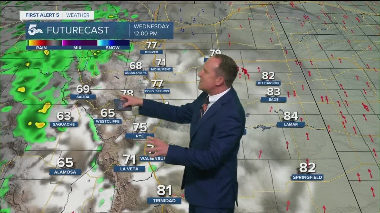
With the remnants of Hurricane Kay reaching the state on Wednesday, this is likely to be our best chance for rain from the I-25 corridor, east into the Plains. At the same time, the mountains are still expected to be the primary recipient of rainfall compared to the Plains. With the changeover in our forecast to more moisture and clouds around the middle of the week, highs will cool slightly from Wednesday to Thursday before warming back up this weekend.
____
Curious about the First Alert 5 Weather Storm Impact Scale? Check out our cheatsheet explainer.
Watch KOAA News5 on your time, anytime with our free streaming app available for your Roku, FireTV, AppleTV and Android TV. Just search KOAA News5, download and start watching.
