

Today’s Forecast:
Mainly clear skies and mild temperatures to start your Friday. Highs today will be down a few ticks from yesterday but it will still be warm. The wind today will be upslope during the afternoon on the plains, and weaker than yesterday.
You'll notice some afternoon clouds in the mountains and over the Palmer Divide. It's possible that we could get a dry lightning strike this afternoon over the Palmer Divide area. The chance is low, but non-zero. Date night plans should be fine - dry, and still fairly mild with temperatures in the 60s at 8 PM.
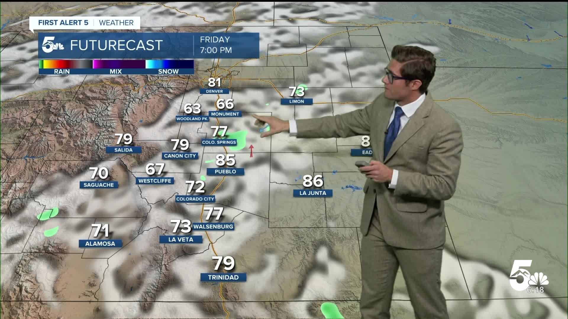
Colorado Springs forecast: High: 81; Low: 49.
Sunny and still warm with an uptick in clouds after 2:00 PM. They may look "threatening" but they won't produce rain. Weak northeast winds today, shifting south this afternoon.
Pueblo forecast: High: 87; Low: 50.
Sunny and very warm, but below the 90 degree mark today. Mostly sunny skies this afternoon with weak morning winds, shifting southeast this afternoon...still fairly weak at 5-10 mph.
Canon City forecast: High: 86; Low: 52.
Sunny and warm with west winds this morning turning southeast this afternoon.
Woodland Park forecast: High: 71; Low: 42.
Sunny this morning, partly cloudy this afternoon. Southwest winds at 5-15 mph.
Tri-Lakes forecast: High: 70s; Low: 40s.
Sunny this morning, partly cloudy this afternoon. A dry thunderstorm is possible today. It's not likely, but if one formed, a dry lightning strike can't be ruled out.
Plains forecast: High: 80s/90s; Low: 40s/50s.
Sunny through the mid-afternoon, then partly cloudy, and hot. An isolated evening thunderstorm is possible with gusty wind.
Walsenburg and Trinidad forecast: High: 82/84; Low: 51/48.
Sunny with northwest winds at 5-10 mph shifting southeast this afternoon.
Mountains forecast: High: 70s; Low: 40s.
Sunny this morning, partly cloudy this afternoon with an isolated thunderstorm possible (30% chance).
Extended outlook forecast:
A pair of upper-level lows are the defining features driving the weather over the next several days in southern Colorado. On Saturday, energy will move into the state in the mid-levels of the sky, and a surface low over the plains will help to increase moisture. This will result in the chance for isolated thunderstorms in the afternoon. The mountains and the northeastern part of the state have the best potential, but the chance will extend down to Pueblo. If the storms do manage to fire up, they have the potential to be strong. This would mainly include a threat of 60 mph wind gusts, and quarter-sized (1") hail. Severe threats are limited to the plains - with "garden variety" storms in the mountains.
Otherwise, temperatures will once again be warm in the upper 70s to low 80s.
In the central and southern mountains and upper Arkansas River Valley, a Fire Weather Watch is in effect from 11:00 AM - 7:00 PM Saturday, with those areas on the dry and windy side of this storm system.
On Sunday, another round of energy moves in, and it will be gusty. An isolated afternoon thunderstorm is again possible.
Monday will have a higher chance of storms in southern Colorado and it will be much cooler due to a cold front with highs in the mid-60s to near 70. Isolated storms remain possible on Tuesday.
____
Curious about the First Alert 5 Weather Storm Impact Scale? Check out our cheatsheet explainer.
Watch KOAA News5 on your time, anytime with our free streaming app available for your Roku, FireTV, AppleTV and Android TV. Just search KOAA News5, download and start watching.
