

Today’s Forecast:
Ready for round #2? It's a rinse and repeat pattern today in Southern Colorado - unfortunately without the rinse. Colorado Springs smashed the record high yesterday hitting 75 degrees. The prior record was 71, set in 1986. Pueblo's high of 83 degrees was both a daily and new monthly record.
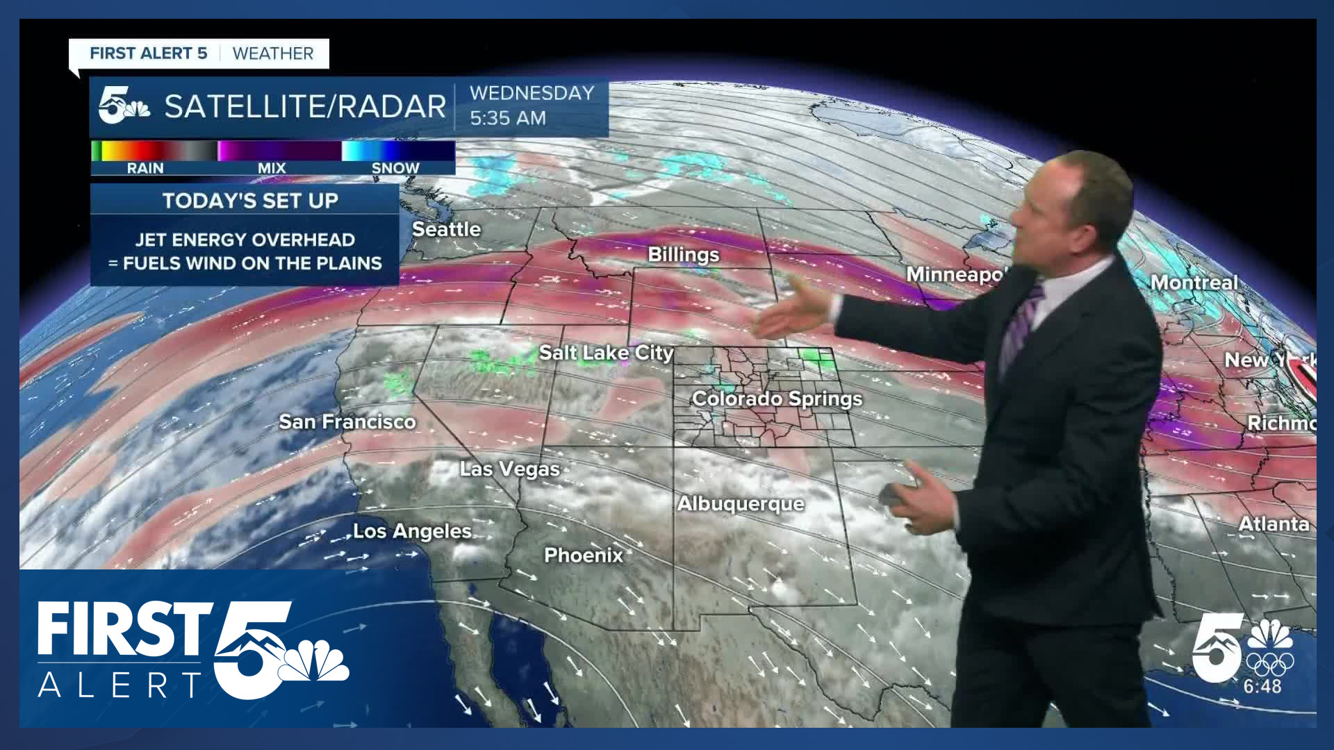
The cause: gusty downslope winds and high pressure, both of which are still players today. Today, the upper ridge shifts southwest, with the jet stream moving south into the state with stronger northwesterly flow. This leads to notable snow in the northern mountains, portions of which are well positioned for 12"+ totals. This is an orographic set up. That means, the mountains are ringing out the moisture in the air rather than a strong organized low pressure center doing so.
Locally, it will become windy over the Ute Pass by 8 AM, the Palmer Divide by 10 AM, downtown Colorado Springs between 12-1 PM, and southeastern El Paso county by 1 PM. Expect sustained winds this afternoon of 20-30 mph, with gusts 35-45 mph. I'm expecting similar wind speeds in Pueblo today, with gusts west of I-25 around 50-60 mph, strongest in the higher terrain.
Red Flag Warnings will be in place from 11:00 AM - 5:00 PM due to the continued risk of rapid, erratic fire spread. Avoid outdoor burning.

Colorado Springs forecast: High: 72; Low: 35. After breaking a record on Tuesday hitting 75 degrees at the Colorado Springs Airport, we'll see another similar day today. Driven by 40 plus mph gusts this afternoon, today's high of 72 is expected to surpass the current record of 71 (1986). Red Flag Warnings also return today, in effect from 11 am to 5 pm.
Pueblo forecast: High: 78; Low: 33. Rinse and repeat from yesterday, although slightly cooler. After topping out in the lower 80s on Tuesday, today's high will warm into the upper 70s. A Red Flag Warning will remain in effect today from 11 am to 5 pm. Current record: 80 (1986).
Canon City forecast: High: 74; Low: 41. Unseasonably warm weather will continue on Wednesday, with our highs today warming into the middle 70s. While the wind is expected to gust in excess of 50 mph this afternoon, a slight increase in moisture should keep us out of Red Flag Warning criteria.
Woodland Park forecast: High: 59; Low: 30. Mild for late February weather will continue on Wednesday, with our high today up near 60 degrees. I see the potential for much stronger wind in our forecast today, with peak gusts around 50-60 mph. An incoming cold front late tonight could bring a quick burst of snow to parts of Teller County.
Tri-Lakes forecast: High: 60s; Low: 30s. We'll see another warm and windy day on Wednesday, with NW winds sutained at 15-30 mph, and gusts to 45 mph. Stronger gusts will be possible west of I-25. A Red Flag Warning will remain in effect today from 11 am until 5 pm. An incoming cold front late tonight could bring a quick burst of precipitation to northern El Paso County.
Plains forecast: High: 70s/80s; Low: 20s/30s. We will see a Red Flag Warning in effect today for Crowley, Otero and eastern Las Animas counties. Farther east, Red Flag Warnings haven't been issued today in the southeastern Plains due to higher humidity. Most areas will warm into the 70s, but a few spots could once again crack the 80s.
Walsenburg and Trinidad forecast: High: 60s/70s; Low: 30s/40s. Wednesday will bring more wind and high fire danger to the southern I-25 corridor, with peak gusts today around 45-55 mph. The wind prone gap flow regions and canyons in Huerfano and northern Las Animas counties will see some of today's strongest gusts.
Mountains forecast: High: 40s/50s; Low: 20s. Wind over snow will be the main story today in the southeastern mountains, with peak wind gusts to 60 mph. Winter Weather Advisories will remain in effect today until midnight in the Sawatch Range and along with the I-70 corridor. The southeastern mountains are not expecting more than a few flurries today.
Extended outlook forecast:
A cold front will swing south late this evening. It doesn't do much besides briefly cool temperatures on Thursday - to the 50s and 60s. Fire danger will be elevated once again. For now, Fire Weather Watches cover Pueblo County south.

If Colorado Springs hits 60 degrees on Thursday, it will be the 30th day this meteorological winter in which highs have hit 60 degrees or warmer. The old record of 22 has already been broken. Physically, the 30 day mark means 1-out-of-3 days since December 1st in Colorado Springs will have had a high temperature of 60 degrees or warmer.
High fire danger continues Friday, with highs rebounding to the 60s and 70s on the Plains, and that warm, dry and windy pattern is likely to continue throughout weekend too.
By Monday, the potential for a pattern shift will take shape with a region of low pressure approaching from the west. This will result in cooler temperatures, and potentially a chance of precipitation.
____
Curious about the First Alert 5 Weather Storm Impact Scale? Check out our cheatsheet explainer.
Watch KOAA News5 on your time, anytime with our free streaming app available for your Roku, FireTV, AppleTV and Android TV. Just search KOAA News5, download and start watching.
