

Today’s Forecast:
High fire danger returns to Southern Colorado today. It will be dry, breezy, and warm. Although we did get significant recent rainfall - grasses and other "flash fuels" are the typical fuel types at this time of year, and they dry out within an hour or two of being exposed to warm, dry air like we'll see today. There are some indications that pockets of larger brush and even timber that are also dry too could be prone to quick moving fires if one were to break out.
Southwesterly winds pick up through the morning hours ahead of an incoming storm system. Wind speeds today will be 10-20 mph, gusting to 30 mph in Colorado Springs. Stronger wind gusts are likely for areas along and south of Highway 50. Humidity will drop to the single digits by the afternoon.
Skies will be mainly clear this morning and remain mainly clear into the early afternoon before becoming partly cloudy. Clouds will then increase this evening as the winter system approaches.
Colorado Springs forecast: High: 66; Low: 31. Warm and gusty on Thursday, with a Red Flag Warning in effect from 10 am to 7 pm. Driven by gusts to 30 mph, humidity levels this afternoon could drop down to the single digits for several hours.
Pueblo forecast: High: 60; Low: 32. Red Flag Warnings will return to Pueblo County for the first time this month, in effect from 10 am to 7 pm. Peak gusts to 30 mph will be possible.
Canon City forecast: High: 71; Low: 36. After rain on Tuesday and a nice Wednesday, dry and gusty weather will return to our forecast on Thursday, increasing the risk of fast-moving wildfires. A Red Flag Warning will remain in effect today from 10 am to 7 pm.
Woodland Park forecast: High: 57; Low: 23. While we won't meet criteria for Red Flag Warnings on Thursday, strengthening downslope flow ahead of tomorrow's storm will result in a windy and mild day in Teller County. Peak gusts to 35 mph.
Tri-Lakes forecast: High: 50s/60s; Low: 20s/30s. This will be our third week in a row with at least one high fire danger day. Today's Red Flag Warning will remain in effect from 10 am to 7 pm, with peak gusts to 30 mph.
Plains forecast: High: 70s; Low: 30s. Warm and windy, with gusts to 40 mph for areas south of Highway 50 today. A Red Flag Warning will remain in effect on Thursday from 10 am to 7 pm. Please avoid outdoor burning on any and all Red Flag Warning days.
Walsenburg and Trinidad forecast: High: 60s/70s; Low: 20s/30s. Warm and windy conditions this afternoon have prompted another Red Flag Warning for the southern I-25 corridor. Gusts in wind prone parts of Huerfano County could top 45 mph this afternoon.
Mountains forecast: High: 40s/50s; Low: 10s/20s. Today will be the "calm" before the storm, but only in terms of snow and not wind. In typical Colorado fashion, increasing SW wind throughout the day will lead to strong wind gusts to 50 mph and lowering humidity. A Red Flag Warning has been issued for the mountain zones today from 10 am to 7 pm.
Extended outlook forecast:
A winter storm will impact parts of Southern Colorado on Friday. This is another spring-type system, but there is more cold air associated with it compared to the system that delivered a daily rainfall record to the Colorado Springs Airport on Tuesday. Therefore, snow levels will be lower. Early Friday morning, they'll start at around 6,000 feet, with the snow level dropping to around 5,000 feet by the early afternoon.
A gusty cold front races south across the Plains early Friday. Precipitation follows and also moves in from north to south, arriving in time for the AM commute — with an onset time between 6:00-8:00 AM likely over the Palmer Divide. Snow showers move into Colorado Springs between 7:00-9:00 AM. They will continue into the early afternoon before drier north winds begin to dry skies back out. It's worth noting that this snow will be accompanied by gusty winds which will produce areas of low visibility.
The highest snow amounts will be over the Palmer Divide, Woodland Park, and the southern mountains. You can expect 1-3" of snow in Colorado Springs, with 4-7" possible over the Palmer Divide, and 3-6" in Woodland Park.
Highs on Friday will only warm into the 30s and 40s, with some areas as much as 30 degrees colder than today.
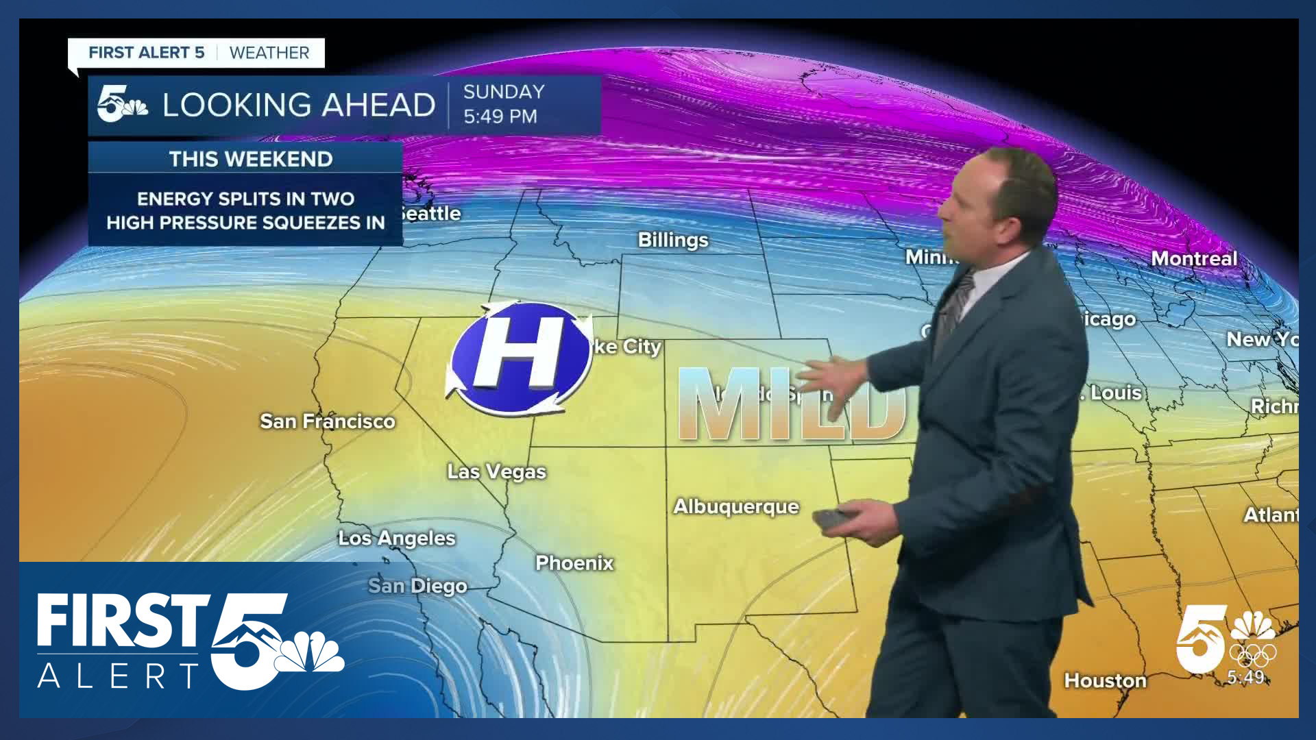
High pressure returns this weekend. Saturday will still feel a bit chilly as cool air lingers behind the departing system - highs in the upper 40s and 50s. But, we'll be back into the 60s and 70s Sunday through next Tuesday. Remember that Daylight Saving Time begins on Sunday.
The next potential storm system approaches between next Tuesday and next Wednesday. This would be another northern track storm system.
____
Curious about the First Alert 5 Weather Storm Impact Scale? Check out our cheatsheet explainer.
Watch KOAA News5 on your time, anytime with our free streaming app available for your Roku, FireTV, AppleTV and Android TV. Just search KOAA News5, download and start watching.
