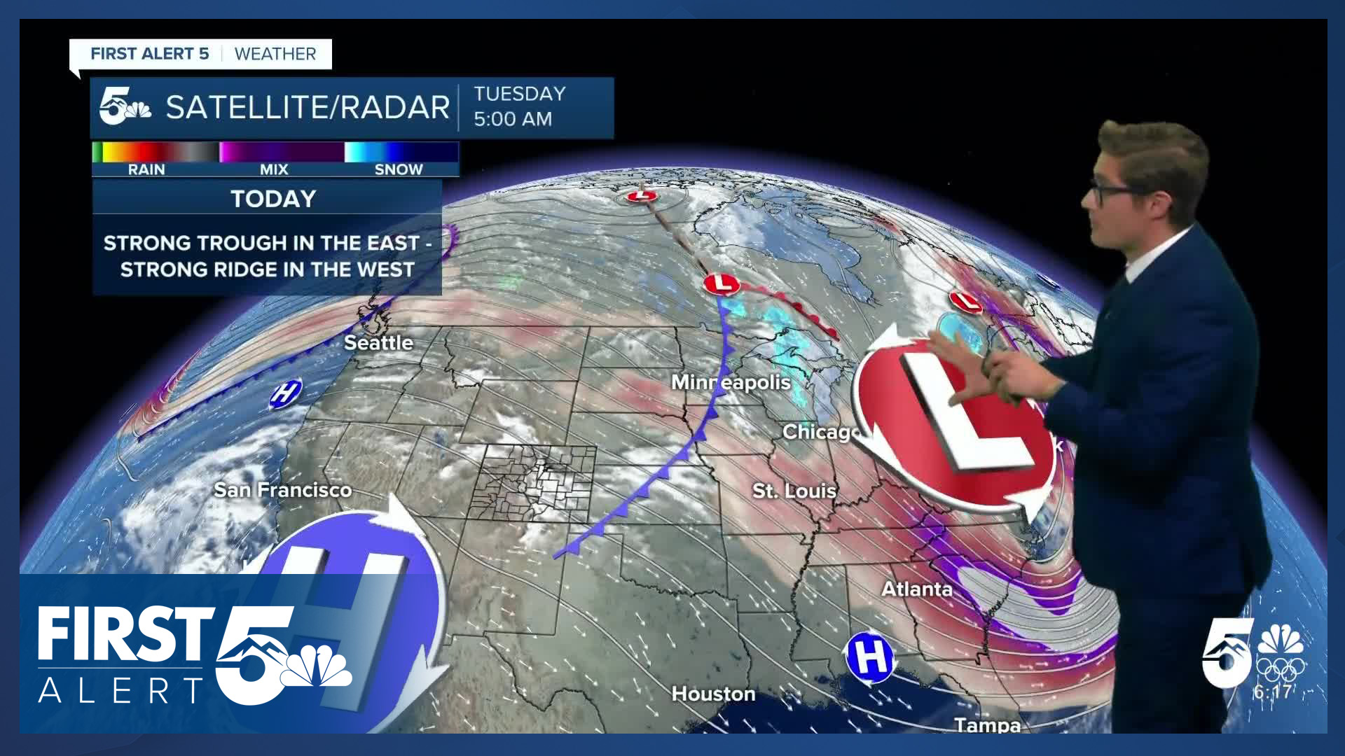


Today’s Forecast:
First, thank you to the thousands of Veterans who call Colorado Springs home. Your service and sacrifices keep us free, and you are immensely appreciated. If you have any veterans in your life, remember to thank them today.
Mother nature is providing —beautiful— conditions today in southern Colorado In fact, this morning, eastern Colorado has some of the warmest temperatures in the entire lower 48! Atlanta, Orlando, and Miami are all colder than Colorado Springs and Pueblo early this morning. Atlanta dipped into the 20s, Orlando into the middle 30s - so they need the winter coat, but you don't (unless you're in the San Luis Valley).
Downslope breezes are leading to compressional warming today across southern Colorado. Some areas will be close to records.
Mountain wave clouds in place overnight are part of why we are so mild this morning. Clouds absorb and re-radiate outgoing heat energy from the earth's surface - sending it back toward the ground.
We've also got some downslope breezes - they're strongest in small pockets (gaps) between mountain ranges. This set up does not favor gusty wind in Colorado Springs, but it will be gusty this morning between Canon City and Pueblo, including in Pueblo West.
We'll keep some of these high clouds through much of the day, but they will thin out with time, allowing for filtered sunshine and partly to mostly sunny conditions in the afternoon.
Colorado Springs forecast: High: 72; Low: 35.
High mountain wave clouds this morning that will thin out this afternoon a bit allowing for filtered sunshine. Because this is a mountain wave pattern, the farther east you go from the mountains - the sooner and more likely you are to see clear to mainly clear skies. Downslope breezes out of the west northwest this morning, shifting northwest, and then eventually north by 3PM this afternoon. Winds at 10-15 mph, gusting at times to 25 mph before noon west of I-25 near the Ramparts and Pikes Peak Massif. After noon, wind speeds increase over the northeastern part of El Paso County, with gusts from 25-35 mph possible near Calhan and Peyton.
Pueblo forecast: High: 76; Low: 31.
Partly cloudy this morning with high clouds, becoming mainly sunny this afternoon. West winds at 10-15 mph, gusting at times to 25 mph this morning. They will shift north to northeast this afternoon and lighten.
Canon City forecast: High: 72; Low: 34.
Partly cloudy. West winds at 10-15 mph, gusting to 25 mph this morning in wind-prone micro-zones. Winds will decrease this afternoon and become less noticeable - generally after 3:00 PM.
Woodland Park forecast: High: 63; Low: 32.
Mostly cloudy for most of the day, turning partly cloudy in the final couple of hours before sunset. Nice and mild, with northwest winds at 10-15 mph.
Tri-Lakes forecast: High: 60s; Low: 30s.
Partly cloudy this morning, with northwest winds at 10-15 mph. Winds increase to 15-20 mph out of the north this afternoon and skies will become mostly sunny.
Plains forecast: High: 70s; Low: 20s/30s.
Sunny and very warm for November. Northwest winds at 10-15 mph.
Walsenburg and Trinidad forecast: High: 71/75; Low: 20s.
Mostly sunny with northwest winds at 10-15 mph.
Mountains forecast: High: 50s/60s; Low: 20s.
Mostly cloudy this morning, partly to mostly cloudy this afternoon with high mountain wave clouds in place. North winds at 10-20 mph, stronger at higher elevations.
Extended outlook forecast:
High pressure keeps us high and dry through the end of the work week. Temperatures will remain at least 10 degrees above seasonal averages. Friday looks gusty, and could have elevated fire danger. We'll keep you updated on that potential - it may be a terrain driven set up, with wind gusts only meeting criteria for Red Flag concerns in certain locations.
A pattern change will arrive this weekend. We've been tracking a potential cutoff low over the past several days. It now looks very likely that there will be accumulating snowfall in Colorado's mountains this weekend - finally - as we're currently in very dry territory, with about 97 percent of years having more snow-water in the mountains, than they do now.
At least some showers are likely in parts of southern Colorado. Timing-wise and track-wise, this system is trending slightly slower, which would shift the timing of impacts from Saturday-Sunday to Sunday-Monday. For now, I feel confident in the idea of mountain snow on Saturday afternoon and Sunday - with showers possible Sunday into Monday in parts of southern Colorado. Stay tuned.
____
Curious about the First Alert 5 Weather Storm Impact Scale? Check out our cheatsheet explainer.
Watch KOAA News5 on your time, anytime with our free streaming app available for your Roku, FireTV, AppleTV and Android TV. Just search KOAA News5, download and start watching.
