

Today’s Forecast: A Red Flag Warning is in effect for CHAFFEE, TELLER, AND FREMONT COUNTIES, THE EASTERN SAN JUAN, SANGRE DE CRISTO, AND WET MOUNTAINS, THE WET MOUNTAIN VALLEY, AND EL PASO, PUEBLO, HUERFANO, AND WESTERN LAS ANIMAS COUNTIES until 8 pm. Temperatures will be 10 degrees above average today, and humidity will drop to less than 10%. Wind gusts may top out in the 30-35 mph range for those under the red flag warning.
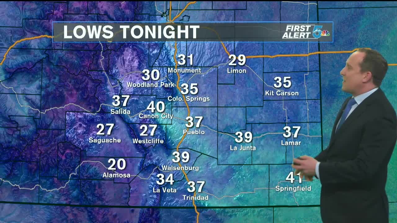
COLORADO SPRINGS: High - 74; Low - 34. Climbing 10 degrees above average today under sunny conditions. The afternoon will be dry and breezy. Red flag warning.
PUEBLO: High - 80; Low - 33. Climbing 10 degrees above average today under sunny conditions. The afternoon will be dry and breezy. Red flag warning.
CANON CITY: High - 78; Low - 40. The afternoon will be dry, warm and breezy. Red flag warning and an air quality alert for wildfire smoke is in place. Limit outdoor exposure if air quality becomes poor.
WOODLAND PARK: High - 66; Low - 30. Mild and sunny today, with gusty afternoon winds. Red flag warning, do not conduct outdoor burning.
TRI-LAKES: High - 70s; Low - 30s. Climbing 10 degrees above average today under sunny conditions. The afternoon will be dry and breezy. Red flag warning.
PLAINS: High - 80s; Low - 40s. A very warm day is ahead, to the low 80s in the Plains. Winds will be light to slightly breezy.
WALSENBURG/TRINIDAD: High - 70s; Low - 40s. Climbing 10 degrees above average today under sunny conditions. The afternoon will be dry and breezy. Red flag warning.
Extended Outlook: Staying breezy to start on Tuesday, but with a cold front arriving. This drops temperatures back to seasonable Tuesday afternoon. We will experience a rebound of temperatures Wednesday and Thursday, back to well above normal in the 70s and 80s. Several waves of cooler air arrives Friday and into the weekend. This is ahead of our next big weather maker late this weekend into Monday next week. Cooler temperatures and snow are possible, with high uncertainty this many days out.
