

Today’s Forecast:
Tuesday is shaping up to be another hot one for Southern Colorado, with a few more clouds in the forecast, but no threat of showers or thunderstorms. It will be gusty again from the mountains and mountain valleys to the southern I-25 corridor, with peak gusts in these areas around 25-40 mph.
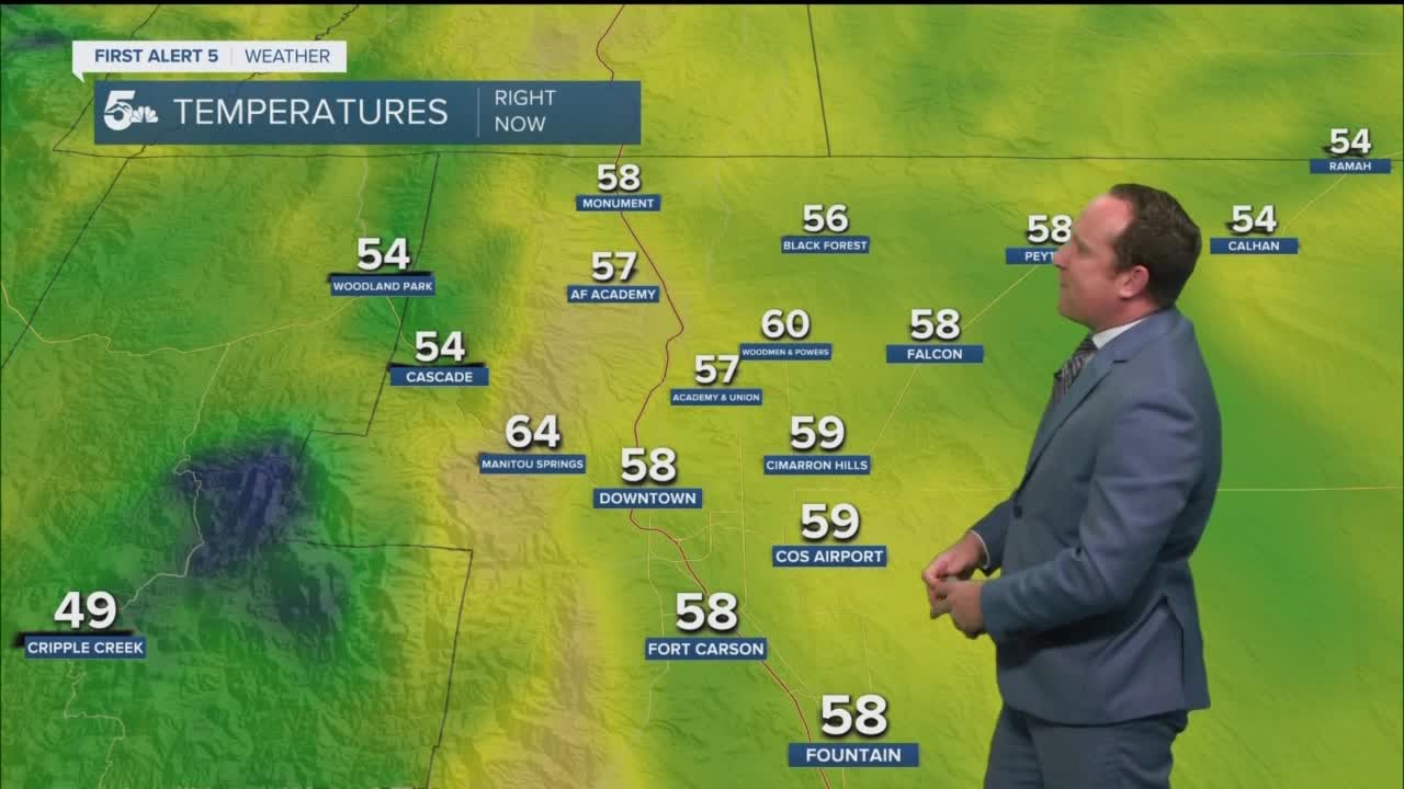
Colorado Springs forecast: High: 86; Low: 55. Partly cloudy and warm on Tuesday, with peak southwesterly wind gusts today up near 20-25 mph.
Pueblo forecast: High: 94; Low: 56. Hot, dry and breezy this afternoon, with peak afternoon wind gusts up near 20-30 mph.
Canon City forecast: High: 90; Low: 58. Mostly cloudy skies this morning will give way to a mostly sunny, hot and breezy afternoon, with daytime highs back up near 90 degrees.
Woodland Park forecast: High: 78; Low: 48. Clearing skies this afternoon will give way to a bright and warm afternoon across Teller County, with rain not expected over the next 24 hours.
Tri-Lakes forecast: High: 70s/80s; Low: 40s/50s. We're looking at another dry day on Tuesday, with sunshine and warm highs this afternoon in the Tri-Lakes areas.
Plains forecast: High: 90s; Low: 50s/60s. After a few morning clouds, we'll see a lot of sunshine and a lot of heat this afternoon across the Plains, along with breezy west and southwest winds.
Walsenburg and Trinidad forecast: High: 80s/90s; Low: 50s/60s. Hot and dry today, but also turning breezy this afternoon, with peak southwesterly wind gusts up to 35 mph.
Mountains forecast: High: 60s/70s; Low: 40s. A few clouds this morning in the mountains will give way to a bright, warm and windy afternoon. Peak southwesterly winds gusts could top 40 mph in some areas.
Extended outlook forecast:
Wednesday will remain on the warm to hot side before some changes roll into Southern Colorado Wednesday evening and Thursday. Most areas will be dry on Wednesday, but as moisture increases over the Plains, strong to severe thunderstorms will be possible for areas well east of I-25.
A cold front will follow late Wednesday night, which could trigger additional showers and thunderstorms into the overnight and early morning hours. Recycled moisture Thursday afternoon will allow for scattered showers and thunderstorms across the region, with Thursday's highs down around 8-12 degrees. Drier air pushes back into Southern Colorado on Friday and sets the stage for a gorgeous weekend of weather.
____
Curious about the First Alert 5 Weather Storm Impact Scale? Check out our cheatsheet explainer.
Watch KOAA News5 on your time, anytime with our free streaming app available for your Roku, FireTV, AppleTV and Android TV. Just search KOAA News5, download and start watching.
