


Today’s Forecast:
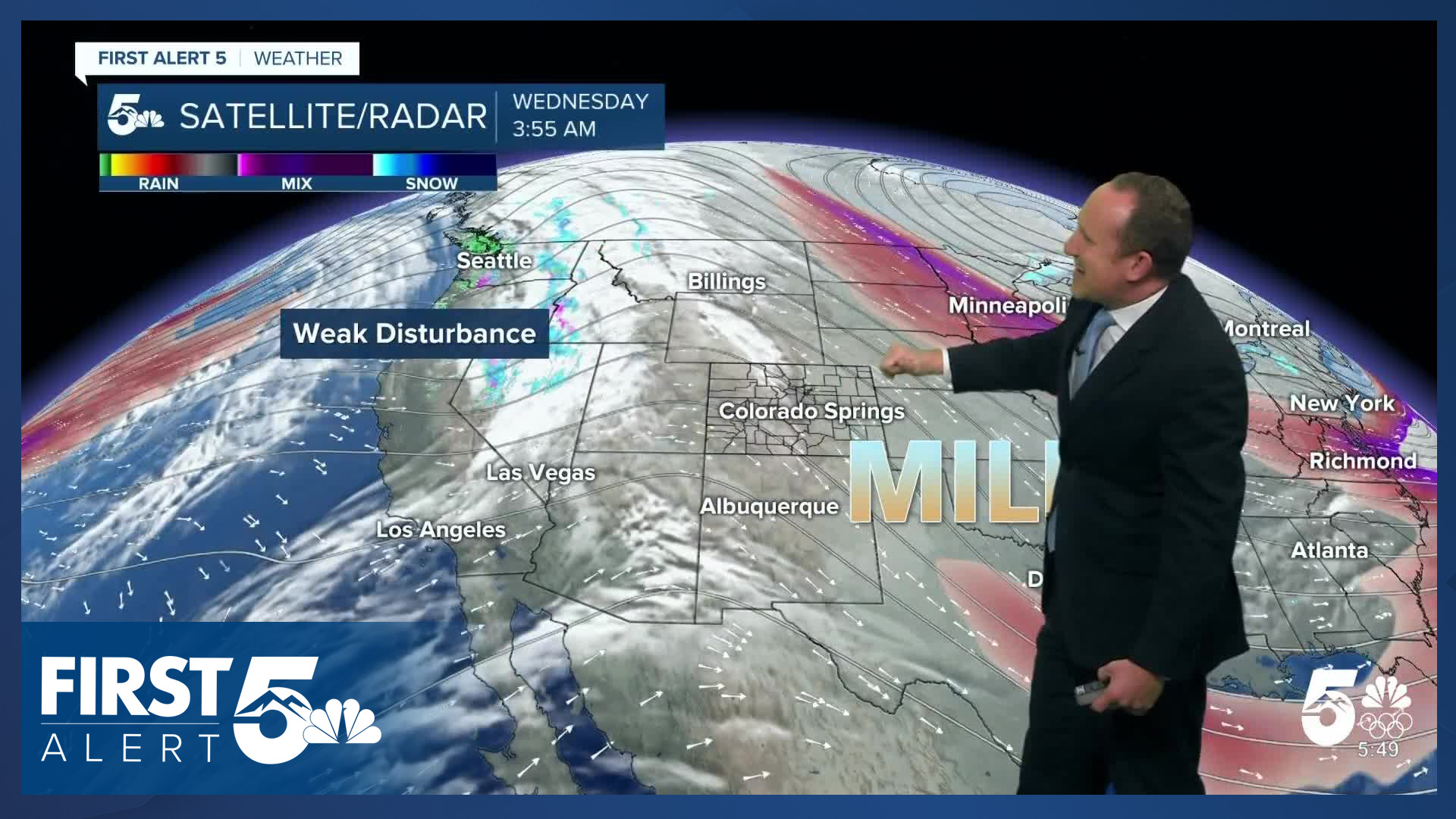
A nice Wednesday is on tap for Southern Colorado as an upper level ridge continues to be the main driver of our weather. Highs will warm to the 40s and 50s today on the Plains, with our overall airflow out of the northwest producing a light downslope effect. A weak disturbance rotating around the high will provide light snow to the northern and central mountains later today. Across Southern Colorado we'll get some clouds moving through during the afternoon. While it won't be particularly breezy during the daytime, it will be a breezy evening, particularly west of I-25 as the upper level energy translates overhead and a cold front pushes through the area.
Wind gusts tonight will be in the 20-35 mph range.
Colorado Springs forecast: High: 49; Low: 24. After warming into the middle 40s the past two days, highs today will warm by a few degrees into the upper 40s. Clouds will increase this afternoon, as well as W/NW winds. Gusts later tonight into tomorrow morning will be around 20-30 mph.
Pueblo forecast: High: 52; Low: 20. Sunshine early will give way to increasing clouds and wind this afternoon and evening from a disturbance that will bring snow to the central and northern mountains. Unfortunately for Pueblo, we aren't likely to see any moisture from today's storm.
Canon City forecast: High: 54; Low: 28. Sunny skies this morning will be followed by increasing clouds and wind this afternoon and evening. Wind gusts tonight into tomorrow morning will be around 20-30 mph.
Woodland Park forecast: High: 46; Low: 16. A quiet and mellow start to our Wednesday will give way to increasing wind this afternoon and evening. Overnight wind gusts are expected to range between 20-30 mph in Teller County.
Tri-Lakes forecast: High: 40s/50s; Low: 10s/20s. SW winds will be sustained between 10-15 mph during the day on Wednesday. By this evening, the wind will shift out of the NW, with gusts to 35 mph heading into Thursday morning.
Plains forecast: High: 40s/50s; Low: 10s/20s. Mild, with light southerly winds for the Plains on Wednesday. Our next cold front that sweeps across the state just before midnight will shift the wind out of the northwest, resulting in a gusty start to our Thursday.
Walsenburg and Trinidad forecast: High: 40s/50s; Low: 20s/30s. Westerly winds will be on the increase during the day today. Then following the passage of a cold front late tonight, NW wind gusts around 30-45 mph will follow tomorrow morning, strongest in Huerfano County.
Mountains forecast: High: 40s; Low: 20s. If you've made it this far in my web article, you've surely read about the potential for mountain snow tonight and Thursday morning. Unfortunately, we won't see that snow reach the Sangres or Wet Mountains. Instead, it's wind that we'll see tonight and tomorrow morning in the southeastern mountains, with gusts as strong as 45-55 mph.
Extended outlook forecast:
It will be breezy to gusty Thursday morning with some of the more persistent gusts up over Monument Hill and close to the Rampart Range with light snow over the northern mountains. Thursday will be a bit cooler thanks to the weak front.
A backdoor cold front will arrive on Friday and this could lead to a few flurries east of I-25 on Friday and some fog early on Saturday.
We'll warm back up this weekend with highs in the upper 40s to lower 50s Saturday, with even more warming Sunday and Monday. This weekend, we will be warmer than Miami, Florida, where temperatures will top out in the upper 30s in a historic cold snap. They will be about 30 degrees cooler than average, and we will be about 10 degrees above average. There is the potential for a "pattern shift" mid-week, though realistically it's more of a "blip" as it won't be sustained. This period has the potential for cooler temperatures, and some precipitation.
There is a better potential for a sustained pattern shift mid-February, with signals for the persistent ridge over the west to break down for awhile.
____
Curious about the First Alert 5 Weather Storm Impact Scale? Check out our cheatsheet explainer.
Watch KOAA News5 on your time, anytime with our free streaming app available for your Roku, FireTV, AppleTV and Android TV. Just search KOAA News5, download and start watching.
