



Today’s Forecast:
The first in a series of cold fronts this week will drop into Southern Colorado this morning, with breezy north winds behind the front. By the afternoon, we'll see a return to upslope flow conditions, setting the stage for a better chance for rain and thunderstorms region-wide today. Storms look to reach I-25 after 3-4 pm, with storms intensifying on the eastern Plains this evening. Storms today will be capable of heavy downpours, pea to quarter sized hail, strong wind gusts, and frequent lightning.
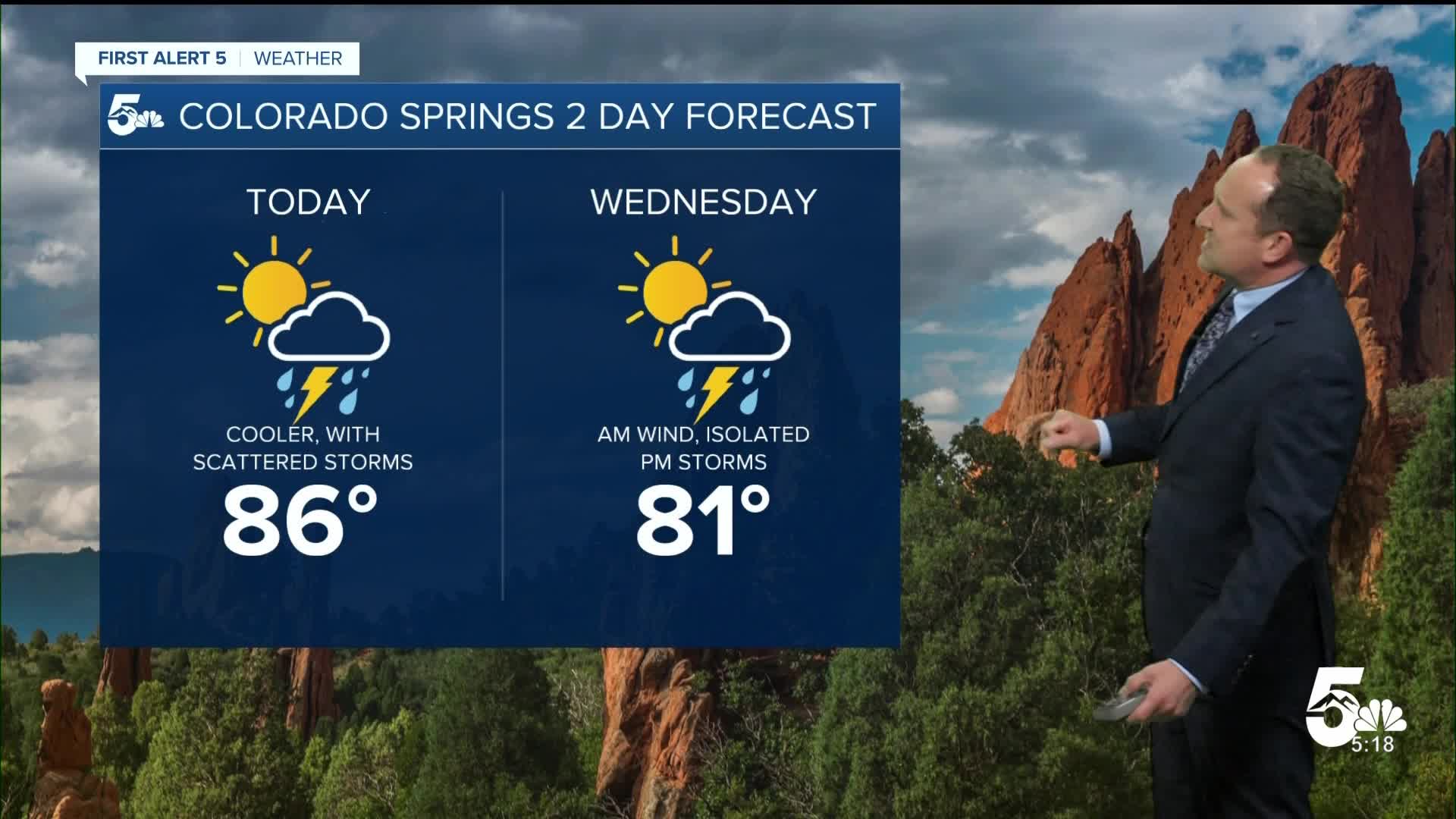
With better storm coverage after this morning's cold front, highs today will be as much as 4-8 degrees cooler than yesterday. In Colorado Springs, we'll go from a record-setting high of 93°F on Labor Day to a cooler high today in the middle 80s.
Colorado Springs forecast: High: 86; Low: 57. Breezy to gusty north winds this morning will give way to wetter upslope flow this afternoon, with scattered thunderstorms reaching the Pikes Peak Region after 3 or 4 pm. Storms will move quickly to the east this evening, with skies drying out by sunset.
Pueblo forecast: High: 92; Low: 61. The near record-breaking heat that we saw on Labor Day will give way to a healthy dose of cooling the next two afternoons. On top of 5-8 degrees of cooling today, thunderstorm chances will become more elevated this afternoon.
Canon City forecast: High: 90; Low: 62. Tuesday's forecast will be cooler and more unsettled, with scattered thunderstorms possible from late this afternoon into early this evening.
Woodland Park forecast: High: 78; Low: 49. Partly cloudy skies this morning will give way to a more active day than what we saw on Labor Day. A few stronger storms will be possible this afternoon in Teller County.
Tri-Lakes forecast: High: 70s/80s; Low: 50s. Breezy north winds will turn more easterly this afternoon at the surface, with storms firing off on the Palmer Divide anytime after 3 pm. Storms today will be capable of heavy rainfall, frequent lightning, gusty winds, and small hail.
Plains forecast: High: 90s; Low: 50s/60s. Dry and gusty this morning, with rain showers and thunderstorms moving east towards the Plains this evening. Storms will grow stronger as they move east of I-25, and will be capable of 1" hail and 50-60 mph wind gusts.
Walsenburg and Trinidad forecast: High: 80s/90s; Low: 50s/60s. Much like the Palmer Divide, storms on Tuesday are likely to develop in the afternoon near the Raton Mesa. Today's storms could pack a punch, especially east of I-25.
Mountains forecast: High: 70s; Low: 40s. Showers and thunderstorms will pick up in the high country early this afternoon, with storms winding down by early this evening.
Extended outlook forecast:
A secondary cold front that drops in tomorrow morning will cool highs down to the lower 80s. It will again be windy during the morning hours, with just a few isolated storms possible Wednesday afternoon. With drier air punching into Southern Colorado, I see Wednesday's best chances for rain for areas south of Highway 50.
Dry and breezy weather will follow late this week, with highs in the middle 80s Thursday and upper 80s to lower 90s by Friday. With the drier and breezier forecast, it is possible that we could see Red Flag Warning conditions in some areas.
From Saturday into early next week, a series of fronts will lead to more ups and downs temperature wise, with rain chances returning by Sunday afternoon.
____
Curious about the First Alert 5 Weather Storm Impact Scale? Check out our cheatsheet explainer.
Watch KOAA News5 on your time, anytime with our free streaming app available for your Roku, FireTV, AppleTV and Android TV. Just search KOAA News5, download and start watching.
