


Today’s Forecast:
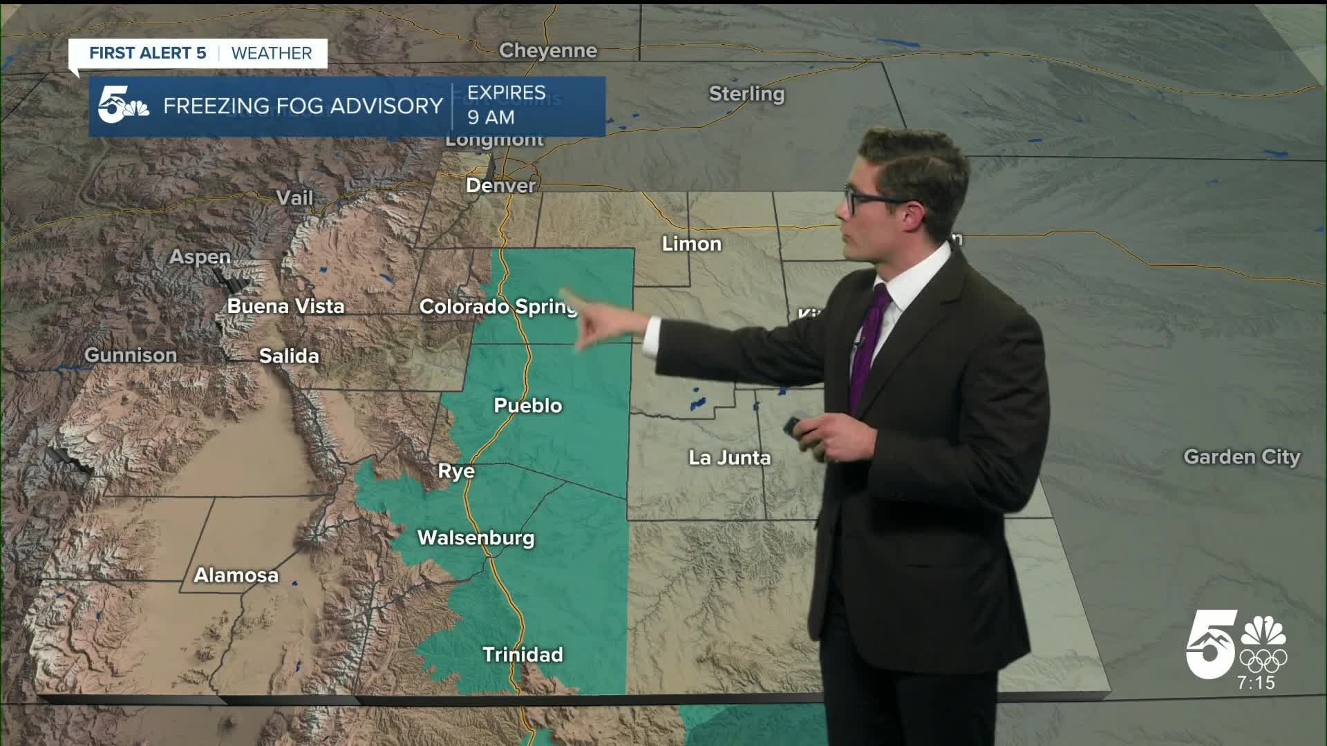
Freezing fog and low clouds are slowly pushing out of the southern Front Range Corridor this morning. A Freezing Fog Advisory was in effect for Colorado Springs and Pueblo until 9:00 AM. A backdoor cold front - meaning a front moving in from the east or northeast, opposite to the main direction fronts travel here (west to east) - swung in on Friday night as expected. This is a shallow cold air mass, with the deeper cold air hanging back closer to the center of the country. The result is that the mountains were taller than the front and the front stalled over I-25 into early Saturday.
As upper-level northwesterly winds return, they'll mix down and push that shallow, cold, dense air mass back out to the east. This means as you watch the sky this morning, first the fog will transition to low clouds that get progressively further up off the ground over time. Second, it means that by late morning your skies are clearing and we're back to full sunshine this afternoon. It will be a mild end to January with highs warming to the low 50s - a solid 30-35 degree swing from our morning lows, which is par for the course.
Check out the extended forecast for an update on when a more traditional "winter" pattern will return.
Colorado Springs forecast: High: 53; Low: 25.
After the morning fog - we're closing January with sunshine today in the Olympic City. Modest northwesterly airflow today, becoming breezy over the northern part of the city this afternoon - and that northwest flow is important for compressional warming. It's a beautiful day, enjoy it.
Pueblo forecast: High: 54; Low: 23.
Quite the start to Saturday today! Between the freezing fog and the chilly temperatures, it really felt like winter for a few hours! That fog and cloud cover is getting pushed off to the east by dry northwest flow so you'll see sunshine this afternoon. Temperature wise, while I've got you at 54...you have a wide spread of temperatures possible today (48-57). You currently have a temperature inversion. You'll warm more slowly until it mixes out. Therefore even if you reach the 50s...you'll send a significant part of the early PM in the 30s. Plan accordingly.
Canon City forecast: High: 58; Low: 29.
Mostly sunny, warm and slightly breezy. Northwest winds at 10-15 mph this afternoon.
Woodland Park forecast: High: 47; Low: 21.
Sunny skies and above average highs. It will be breezy this afternoon due to moderate northwesterly flow. Expect 10-20 mph sustained winds this afternoon.
Tri-Lakes forecast: High: 50s; Low: 20s.
Bright and mild. Northwest winds at 15-20 mph.
Plains forecast: High: 40s; Low: 20s.
Mostly cloudy early, becoming mostly sunny this afternoon as moisture moves east. Southwest winds at 10-15 mph.
Walsenburg and Trinidad forecast: High: 55/56; Low: 26/25.
Sunny with northwest winds at 10-20 mph.
Mountains forecast: High: 40s/50s; Low: 20s.
Sunny with west winds at 10-15 mph.
Extended outlook forecast:
Light downslope breezes will remain this evening. We'll quickly drop to the low 30s if you have any late evening plans, but then temperatures will fall much more slowly through the rest of the night if you live along I-25. The first day of February will be sunny and warm with a strong ridge of high pressure off to the west the main driver of the pattern in Colorado. Highs will warm into the upper 50s with a few 60s in the upper Arkansas River Valley.
Our forecast is warmer Sunday in Colorado Springs and Pueblo - than the forecast high in Miami! Much of the eastern US will be under the influence of an arctic airmass. That airmass is what pushed last night's backdoor cold front into Colorado as well.
Monday will start mild - with downslope breezes and wave clouds are also likely. Highs will be reached earlier than usual, by 1/2PM, as a cold front pushes in from the north. The front is mainly dry and it will remain breezy through the remainder of the afternoon with northerly gusts in the 20-25 mph range. Additional upper level energy arriving Tuesday will provide a chance of light snow showers primarily on Tuesday night into Wednesday, as the moisture associated with the upper-level system interacts with another potential backdoor cold front. This is critical, because the upper level system is coming from the northwest. That's not favorable for snow in southern Colorado: upslope flow is required. The cold front would provide the upslope flow needed locally to provide lift to a pool of moisture. Either way, if we are lucky enough to get any moisture, the impacts would be extremely low with snow totals under an inch based on current data.
A quick programming and content note. During the Olympics: we will not air our weekend AM newscasts and there will not be a Saturday morning forecast article. The Saturday AM newscast will return the first Saturday following the Olympic closing ceremony.
____
Curious about the First Alert 5 Weather Storm Impact Scale? Check out our cheatsheet explainer.
Watch KOAA News5 on your time, anytime with our free streaming app available for your Roku, FireTV, AppleTV and Android TV. Just search KOAA News5, download and start watching.
