

Today’s Forecast:
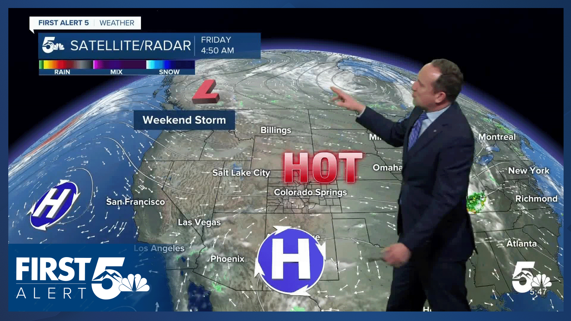
Mother Nature has plans to throw pretty much everything but the kitchen sink at Colorado today. Across the state, it will be hot! Dry, downslope winds will be breezy to gusty, helping to boost temperatures into the 90s on the Plains, with 70s and 80s for Teller County and our mountain valleys. The wind will lower humidity into the single digits and teens this afternoon, with portions of the Arkansas River Valley and San Luis Valley under a Red Flag Warning.
While western Colorado and parts of our area will see high fire danger today, the southeastern Plains will be under the threat this afternoon for severe weather. Thunderstorms are likely to form over New Mexico this afternoon, and by the time that they reach Colorado, they could pack quite the punch, with 1.5" hail and 60-80 mph wind gusts.
Colorado Springs forecast: High: 91; Low: 57. After warming into the upper 70s on Thursday, Friday's forecast will be hot! Temperatures will soar into the lower 90s in the Springs this afternoon, driven by gusty SW winds.
Pueblo forecast: High: 97; Low: 58. After we saw a high in the middle 80s on Thursday, our temperatures today will top out in the upper 90s. It will also be breezy and dry across Pueblo County, with spotty critical fire danger possible this afternoon.
Canon City forecast: High: 95; Low: 61. Hot, dry and breezy (again) in Fremont County on Friday, with a Red Flag Warning in effect from 11 am to 8 pm.
Woodland Park forecast: High: 81; Low: 50. Chilly temperatures this morning will give way to a very warm, dry and gusty afternoon. Peak gusts today will be around 30-35 mph.
Tri-Lakes forecast: High: 80s; Low: 50s. A breezy and warm afternoon will follow our cool morning as highs today climb well into the 80s.
Plains forecast: High: 90s; Low: 50s/60s. We will see a mixed bag of weather on the Plains on Friday, with dry skies for areas closest to I-25 and thunderstorms down across the southeastern Plains. From Las Animas to Baca and Prowers counties, storms will fire off between 4-8 pm, with the potential for large hail, damaging wind gusts, and a possible tornado or two.
Walsenburg and Trinidad forecast: High: 80s/90s; Low: 50s/60s. Friday's forecast will be dry and gusty, with a chance for spotty to scattered thunderstorms late this afternoon and early this evening. Rain chances will be highest today in Las Animas County.
Mountains forecast: High: 60s/70s/80s; Low: 40s. Warm and windy weather will continue in the mountains and mountain valleys on Friday, with high fire danger today over the San Luis Valley. A few showers may move across the SE mountains today, anytime after 4 pm.
Extended outlook forecast:
Fire danger will remain elevated across the Arkansas River Valley on Saturday, with a warm and breezy start to the weekend in Southern Colorado. Our high in Colorado Springs on Saturday will warm into the lower 80s, with a chance of showers from late Saturday afternoon into Saturday evening. Highs in Pueblo and Canon City will warm into the lower 90s.
Sunday will be cool and unsettled. Highs will only warm into the upper 60s in Colorado Springs, with clouds and drizzle in the morning and rain and thunderstorms by mid late afternoon. Rain should be fairly widespread region-wide by the afternoon.
Lingering moisture Monday will allow for additional chances for afternoon showers and thunderstorms, with our high in the middle 70s. High pressure returns after that, with 80s Tuesday and 90s by Wednesday. Highs in Pueblo could top triple digits for the first time this year by next Wednesday.
____
Curious about the First Alert 5 Weather Storm Impact Scale? Check out our cheatsheet explainer.
Watch KOAA News5 on your time, anytime with our free streaming app available for your Roku, FireTV, AppleTV and Android TV. Just search KOAA News5, download and start watching.
