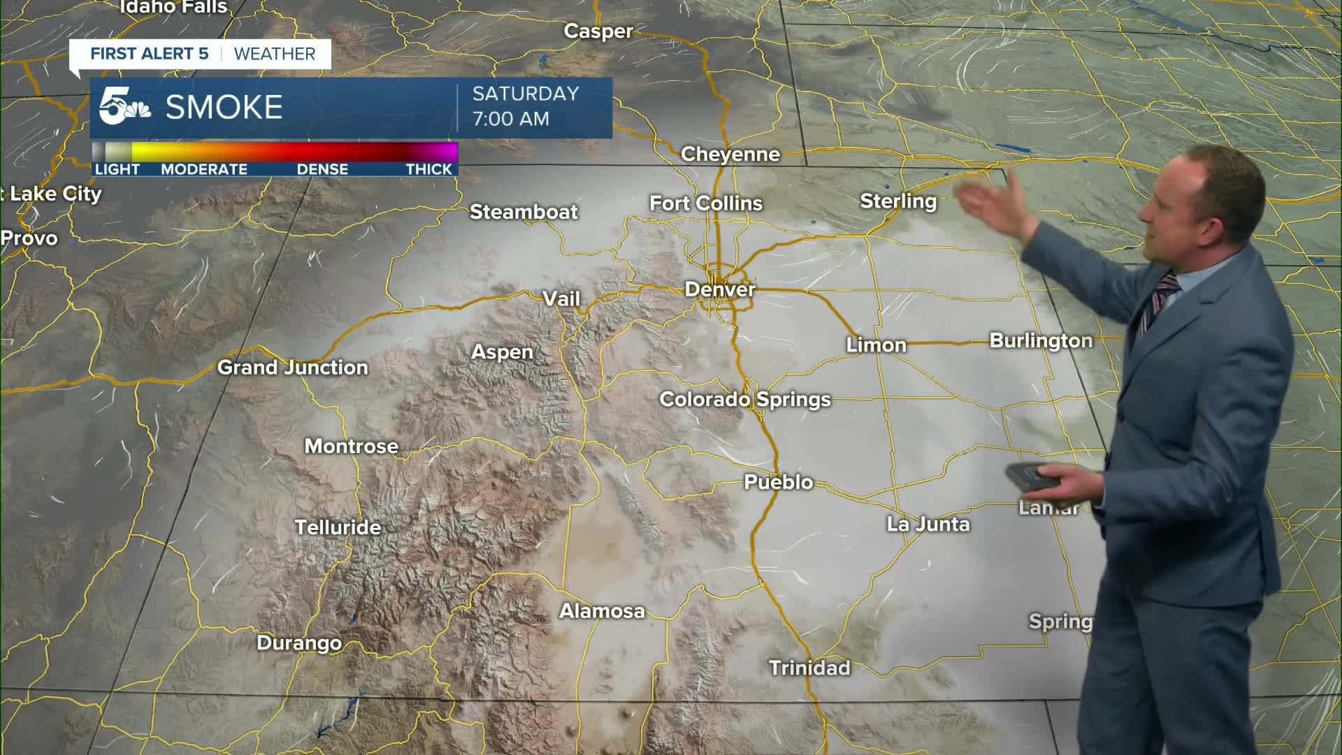


Tonight's Forecast:
Showers and thunderstorms that have been fairly widespread today in the mountains will drift off of the foothills this evening, with scattered thunderstorms for areas near and just east of I-25. While severe threats are low this evening, some stronger storms will be capable of heavy rainfall, frequent lightning, small hail and strong winds. The threat for rain should come to an end around the dinner hour in most areas, with a few lingering storms possible on the Plains until late this evening.
Temperatures tonight will be mild, only cooling down to the 50s and 60s across Southern Colorado.
Colorado Springs forecast: Low: 61; High: 89; Saturday's forecast will look and feel a lot like what we saw today. Afternoon highs will be a few degrees above average and with a muggy monsoon influence in place, scattered thunderstorms will once again be possible.
Pueblo forecast: Low: 63; High: 97; We'll be feeling the heat this weekend, with highs in the upper 90s in the Steel City. Although both days will feature a chance for showers and thunderstorms, rain chances Saturday will be slightly higher than Sunday.
Canon City forecast: Low: 65; High: 93; Enough sub tropical moisture will linger on Saturday, and when combined with the heat, this will lead to the potential for scattered afternoon showers and thunderstorms.
Woodland Park forecast: Low: 50; High: 79; Pleasant temperatures and hazy skies Saturday morning will give way to the potential for another round of thunderstorms and pockets of heavy rain Saturday afternoon. Storms could pulse up as early as 12-1 pm in Teller County.
Tri-Lakes forecast: Low: 50s/60s; High: 80s; Our weather this weekend will be very typical for the middle of July. Skies will be mostly sunny in the morning, with clouds darkening up towards the lunch hour with chance of thunderstorms by the afternoon.
Plains forecast: Low: 60s; High: 90s; Drier air will keep most of Saturday's storms in the western half of the Plains, focused closer to the mountains and I-25 corridor more than our state's border with Kansas.
Walsenburg and Trinidad forecast: Low: 50s/60s; High: 80s/90s; Saturday looks to be a near carbon copy of what we saw today, with dry skies early giving way to scattered afternoon showers and thunderstorms.
Mountains forecast: Low: 40s/50s; High: 60s/70s; Much like what saw today, showers and thunderstorms will begin to form as early as late Saturday morning in the mountains. With storms capable of dangerous lightning and occasional downpours, it's best to plan outdoor activities for the first half of the day.
Extended outlook forecast:
This weekend, we'll see hot temperatures across Southern Colorado and a pretty typical summer weather pattern. With monsoon moisture over the state, a daily chance for thunderstorms may impact some of our outdoor plans, especially for areas over and near the high country. Rain chances will be lower out east on the High Plains this weekend compared to areas closer to the mountains and I-25 corridor.
We're not expecting much change from Saturday to Sunday in Colorado Springs. Highs will return to the upper 80s, and along with the heat, we'll see the potential for scattered afternoon thunderstorms.
Thunderstorms will lower slightly into early next week, with only around a 20% chance of a shower both Monday and Tuesday. Highs during this time will warm into the lower 90s. Some areas on the Plains early next week could hit the triple digits. Our next cold front Wednesday evening will cool highs late next week by as much as 3-6 degrees, with more widespread showers once again possible.
____
Curious about the First Alert 5 Weather Storm Impact Scale? Check out our cheatsheet explainer.
Watch KOAA News5 on your time, anytime with our free streaming app available for your Roku, FireTV, AppleTV and Android TV. Just search KOAA News5, download and start watching.
