

Today’s Forecast:
High pressure will hang on for one more day, and after a comfortable weekend, temperatures today will be around 5-10 degrees warmer than yesterday. Sunshine will be in full supply during the day, with a few fair weather clouds expected late this afternoon and evening. Rain is not expected for the next 24 hours.
Colorado Springs forecast: High: 80; Low: 51. After low 70s each day this past weekend, our high today of around 80 degrees will be a few degrees above average for this time of the year.
Pueblo forecast: High: 87; Low: 52. Dry skies and warming highs early this week will make for a stunning Monday, with our high in Pueblo this afternoon expected to top out in the upper 80s.
Canon City forecast: High: 83; Low: 54. A cool, crisp morning will give way to a sun-splashed and warm afternoon. Highs today will warm into the lower 80s, with another warm day on Tuesday ahead of a mid-week cool down.
Woodland Park forecast: High: 71; Low: 44. Although it's a Monday and the start of the work week, our forecast couldn't be any nicer, with sunshine and lower 70s expected in Woodland Park.
Tri-Lakes forecast: High: 70s; Low: 40s. With a forecast like this, it'll be tough to complain about the weather this afternoon. Highs in northern El Paso County will warm into the 70s, with sunshine early giving way to partly cloudy skies this afternoon.
Plains forecast: High: 80s; Low: 50s. Dry skies and much warmer highs can be expected on Monday as our highs today will soar into the 80s on the Plains, with some areas up near 90 degrees.
Walsenburg and Trinidad forecast: High: 70s/80s; Low: 40s/50s. After a cool morning, we'll see warming highs and plenty of sunshine this afternoon, with temperatures today warming into upper 70s and 80s.
Mountains forecast: High: 60s; Low: 30s/40s. After unsettled weather and periods of rain and snow this past weekend in the mountains, Monday will bring us a break from any precipitation ahead of cooler and unsettled mid-week changes.
Extended outlook forecast:
Ahead of a cold front Tuesday evening will come another warm day, with highs returning to the 70s and 80s on the Plains. Scattered thunderstorms will be possible by mid to late afternoon, with rain chances increasing Tuesday night as our next cold front moves in from the north.
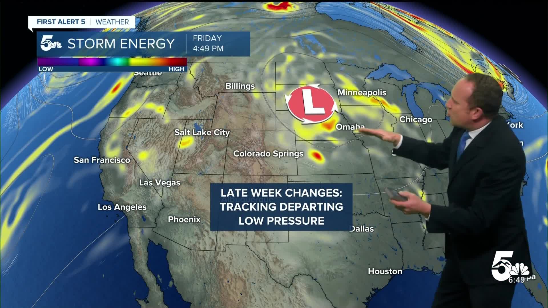
Behind the front, Wednesday will be cool and unsettled. Our high in the Springs will only warm into the middle 60s. Highs will remain in the 60s on Thursday and depending upon how quickly this low pressure system clears out, we could end up seeing some additional showers Thursday afternoon. For now, I'm leaning into drier skies Thursday, and a warm-up this weekend.
____
Curious about the First Alert 5 Weather Storm Impact Scale? Check out our cheatsheet explainer.
Watch KOAA News5 on your time, anytime with our free streaming app available for your Roku, FireTV, AppleTV and Android TV. Just search KOAA News5, download and start watching.
