


Today’s Forecast:
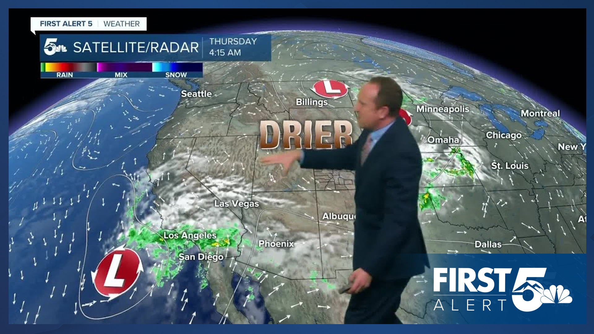
After a stormy, rough and tumble Wednesday, clouds have been clearing out of the state this morning. By daybreak, whatever showers we've seen early this morning across the eastern Plains should come to an end. Rain is not likely to impact the morning commute along the I-25 corridor.
Temperatures have been nice and cool this morning, so grab a jacket before leaving home for the day. Afternoon highs will come up short of average by around 10 degrees. Highs will range from the 50s and 60s for the mountains, to the 60s and 70s for the mountain valleys and Plains.
Colorado Springs forecast: High: 68; Low: 46. After a few days of beneficial moisture and strong thunderstorms, Thursday forecast will be dry, sunny and mild. Our highs today will be around 10 degrees below average.
Pueblo forecast: High: 76; Low: 48. Our forecast on Thursday will be real delight, with dry skies, sunshine and below average highs.
Canon City forecast: High: 73; Low: 47. Severe thunderstorms brought some big hail to eastern Fremont County on Wednesday. Today will be a much different story, with sunshine and mild highs this afternoon.
Woodland Park forecast: High: 60; Low: 39. Grab a jacket this morning as it has been a clear and chilly start to our Thursday. Afternoon highs will be on the cool side of average, only warming to near 60 degrees.
Tri-Lakes forecast: High: 60s; Low: 40s. Sunshine will return to our forecast on Thursday, with highs this afternoon warming into the 60s.
Plains forecast: High: 70s; Low: 40s/50s. Lingering rain showers this morning on the eastern Plains should wrap up by 8 am, leaving us with decreasing clouds and plenty of sunshine.
Walsenburg and Trinidad forecast: High: 60s/70s; Low: 40s/50s. Sunshine, light breezes and mild temperatures will make for a gorgeous final Thursday of summer. Our highs today will only warm into the upper 60s and lower 70s.
Mountains forecast: High: 50s/60s; Low: 30s. Bright and chilly on Thursday, and after a few stormy and snowy days in the mountains, today's sunshine will be a great excuse if you're not working today to get check out some of the changing fall foliage.
Extended outlook forecast:
Friday will be much warmer than today, with a return to the upper 70s in Colorado Springs. Skies will turn partly cloudy by the afternoon, but rain is not likely.
For the final weekend of summer, we'll see warmer than average highs near 80 degrees each afternoon, and limited chances for any rainfall outside of the mountains. Daily rain chances will remain around 10% in Colorado Springs this weekend. Fall starts Monday, with dry skies and a warm high of 77 degrees.
____
Curious about the First Alert 5 Weather Storm Impact Scale? Check out our cheatsheet explainer.
Watch KOAA News5 on your time, anytime with our free streaming app available for your Roku, FireTV, AppleTV and Android TV. Just search KOAA News5, download and start watching.
