

Today’s Forecast:
Storms will be more widespread, and stronger, today across southern Colorado, compared to the activity on Wednesday. This also marks our last major storm day before the pattern begins to shift on Friday.
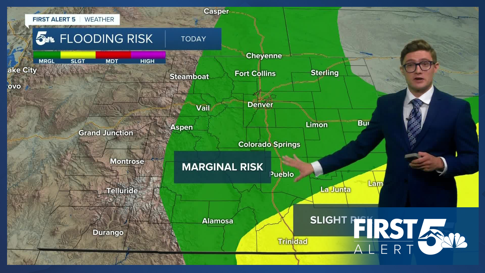
I expect a stationary boundary draped across southern Colorado to meander into the Front Range later this afternoon. As it does so, storm lift, and winds in the sky, will both increase. These ingredients in the weather kitchen help to give us more robust storms. This means storms today should be better organized than those on Tuesday and Wednesday. Storms today will be capable of both heavy rain - and therefore isolated flash flood concerns - and isolated large hail and damaging winds. A storm or two, could contain 1-1.5" hail, and 60-70 mph wind gusts.
A Flood Watch is in place for the Sangre de Cristo mountains, Raton Mesa, La Veta Pass, Huerfano County, and Las Animas County from 12:00 PM - 9:00 PM today.
The pattern will look similar to the last several days - with a morning blend of patchy clouds and sun - followed by early storms in the mountains, slowly drifting east and becoming widespread during the afternoon. You are more likely to see a storm today at your home than any other day this week besides Tuesday (about the same odds as Tuesday). These storms will also contain plenty of lightning so it is important to go inside when they arrive, even if they are not severe warned. Twelve people per year are injured by lightning in our state.
Highs today following a front yesterday will be a few degrees cooler than Wednesday - about 5-10 degrees below average.
Colorado Springs forecast: High: 82; Low: 55.
Mostly sunny with periodic clouds in the morning - with the air feeling noticeably humid. Increasing clouds after 12:00 PM. Thunderstorms will be fairly widespread today and some of these storms will be strong. North winds at 5-10 mph this morning, shifting southeast at 5-10 mph by 11 AM - that upslope flow will contribute to the storm potential.
Pueblo forecast: High: 89; Low: 59.
Patchy morning clouds - but generally good outdoor conditions weather in the first half of the day. Scattered but potentially strong storms in the afternoon. Northwest winds at 5-10 mph shifting east in the afternoon.
Canon City forecast: High: 84; Low: 60.
Patchy clouds in the morning with increasing clouds after 11 AM. Widespread afternoon thunderstorms. West winds at 5-10 mph, shifting southeast in the afternoon.
Woodland Park forecast: High: 73; Low: 45.
Mostly sunny early in the morning, with partly cloudy skies for most of the AM hours. Increasing tall clouds after 11 AM with thunderstorms possible after noon. Isolated flash flooding, as well as other t-storm threats are concerns today - frequent lightning, small to potentially quarter sized hail, and gusty wind. Ultimately, outdoor plans will be easiest to do before 12 PM.
Tri-Lakes forecast: High: 70s; Low: 50s.
Mostly to partly sunny this morning, with thunderstorm chances ramping up after 11 AM, and particularly after 12 PM. Heavy thunderstorms with gusty wind, hail, and frequent lightning are possible. North winds at 5-10 mph shifting southeast during the afternoon.
Plains forecast: High: 80s; Low: 50s/60s.
Patchy mid and high clouds throughout the day. Isolated afternoon and evening thunderstorms are possible. Northeast winds at 10-15 mph.
Walsenburg and Trinidad forecast: High: 82/83; Low: 55.
FLOOD WATCH in effect from 12:00 PM - 9:00 PM
Partly sunny this morning, thunderstorms in the afternoon. Storms will be capable of heavy rain and frequent lightning. Avoid driving through flooded roadways. Northwest winds at 5-10 mph, shifting east at 5-10 mph this afternoon.
Mountains forecast: High: 70s; Low: 40s/50s.
FLOOD WATCH in effect from 12:00 PM - 9:00 PM for the Sangre de Cristo mountain range
Partly sunny in the morning, with early isolated showers by 11 AM, becoming widespread by 2 PM. Some storms will contain gusty wind, and hail. Southeasterly winds at 5-10 mph.
Extended outlook forecast:
Friday will retain isolated storm chances. Storms will favor the mountains, but isolated showers and thunderstorm chances will exist across the remainder of southeastern Colorado. Temperatures will trend back toward average with 90s in the plains, 80s on I-25, and 70s in the mountains.
Saturday through Monday are hot and dry. Saturday will have isolated mountain storms, with plenty of sunshine along the Front Range Corridor, and easern plains. Storms will be extremely spotty on Sunday, with only a 10-20% chance in the afternoon - that is a pick day for high mountain activities - with isolated storms returning to the mountains on Monday.
The monsoon returns Tuesday with that pattern continuing through much of next week providing more storm opportunities.
____
Curious about the First Alert 5 Weather Storm Impact Scale? Check out our cheatsheet explainer.
Watch KOAA News5 on your time, anytime with our free streaming app available for your Roku, FireTV, AppleTV and Android TV. Just search KOAA News5, download and start watching.
