



COLORADO SPRINGS, Colo. (KOAA) — Today’s Forecast:
We're tracking a few weak morning showers moving through the Pikes Peak Region, keeping the roads wet for your morning drive. These showers will push out of the area fairly quickly with mainly sunny skies by 9:00 AM. Another day with plenty of afternoon storms across southern Colorado is ahead, and we'll get a break from the 90s today in the Pikes Peak Region for the first time since Sunday.
For the storms today, they should once again fire up in the mountains around noon, then mosey along to I-25 slowly producing heavy rain in the mountain zones. On I-25, a few strong storms are possible today with quarter-sized hail, and 60 mph wind gusts possible. There are better chances for strong storms over the plains, where the Storm Prediction Center has outlooked a 2/5 slight risk for today. As always, it is important to have multiple ways to receive warnings. Storm timing is 1-6 PM on I-25, and 2-11 PM across the eastern plains.
Highs will be down a few ticks today - close to seasonal averages. Upper 80s to mid 90s.
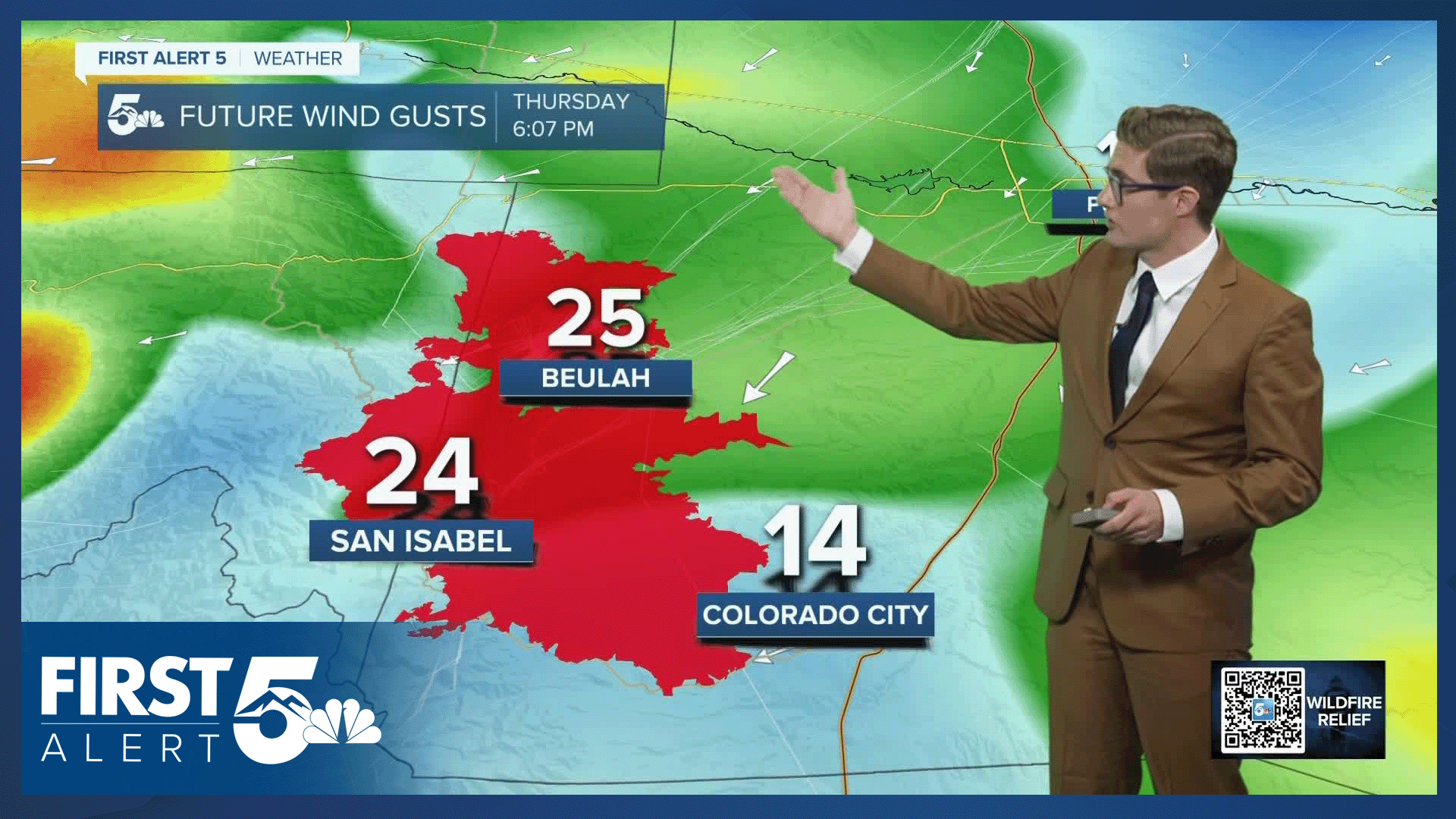
A Flash Flood Watch is again in effect for the Aspen Acres Fire from 12:00 PM - 8:00 PM.
Colorado Springs forecast: High: 88; Low: 57.
After some early AM showers, skies clear out quickly this morning and will be mainly sunny throughout the morning. This afternoon, expect scattered thunderstorms just like you saw Wednesday. They'll start up in the mountains before pushing into the area in the early to mid afternoon. A couple storms could be strong today with gusty wind and small hail.
Pueblo forecast: High: 93; Low: 60.
Mostly sunny through the AM with scattered PM thunderstorms. A couple of strong storms are possible today and heavy rain is also possible with a few of these slow moving storms. Southeasterly winds at 5-10 mph.
Canon City forecast: High: 93; Low: 60.
Mostly sunny this morning with isolated afternoon thunderstorms. Less smoke in the air today - which will be a nice change.
Woodland Park forecast: High: 80; Low: 48.
Mostly sunny with scattered afternoon thunderstorms. Storm timing will be 12-7 PM and you have a chance of seeing more than one storm this afternoon, so plan accordingly. Southwest winds at 5-10 mph.
Tri-Lakes forecast: High: 80s; Low: 50s.
Mostly sunny this morning, becoming mostly cloudy this afternoon with thunderstorms likely. South winds at 5-10 mph.
Plains forecast: High: 90s; Low: 50s/60s.
Sunny in the morning with scattered late afternoon thunderstorms. Severe thunderstorms are likely again today with large hail and damaging winds. Have multiple reliable ways to receive weather warnings. East winds at 10-15 mph.
Walsenburg and Trinidad forecast: High: 91/92; Low: 57/58.
Mostly sunny with isolated afternoon thunderstorms. Smoke continues to be an issue today, particularly in the late afternoon. West winds this morning, shifting south in the afternoon. It'll be a bit breezy from 3-6 PM with some 20 mph gusts in an otherwise light 5-10 mph flow.
Mountains forecast: High: 80s; Low: 50s.
Decreasing clouds this morning, with scattered thunderstorms this afternoon. A slightly lower chance of storms today in the wet mountains compared to yesterday, but the chance remains - and storms will again be capable of heavy rainfall. Southwest winds at 5-10 mph.
Extended outlook forecast:
Friday brings us our last active and stormy day of our current pattern, at least locally. There will still be a low storm chance on Saturday in the mountains and along I-25 in the late afternoon but the coverage looks quite low. That said, it's something worth keeping an eye on over the next 24 hours to see how the overall surface moisture profile evolves. It will also be hot with highs back to the 90s/100s.
The second half of the weekend into the middle of the next week will be dry and hot, with breezy conditions at times. Expect highs to be above average, sunny skies, and breezy conditions Sunday-Tuesday along I-25. There are some signals for the arrival of the summer monsoon pattern by the end of next week.
____
Curious about the First Alert 5 Weather Storm Impact Scale? Check out our cheatsheet explainer.
Watch KOAA News5 on your time, anytime with our free streaming app available for your Roku, FireTV, AppleTV and Android TV. Just search KOAA News5, download and start watching.
