

Today’s Forecast:
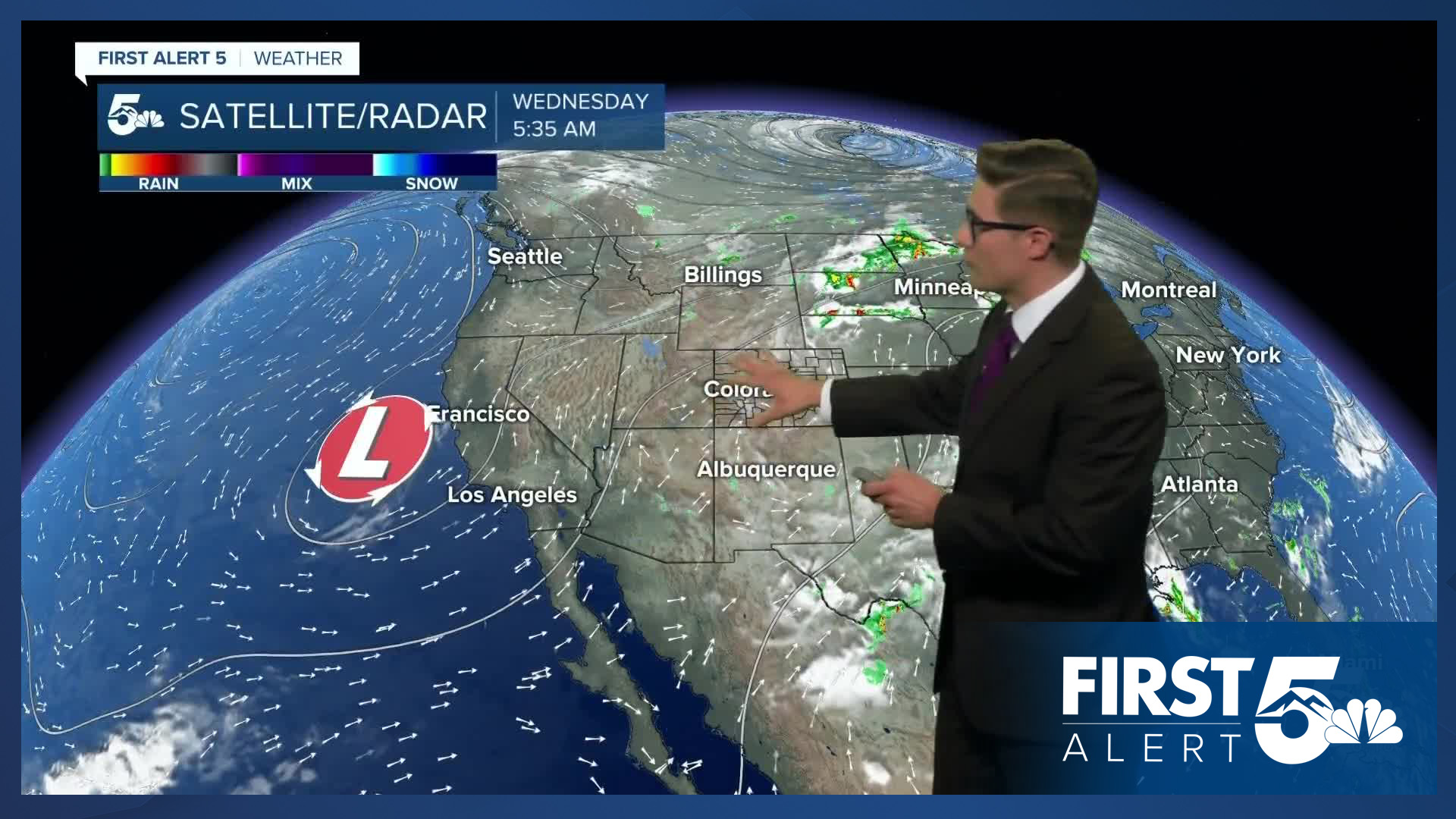
It's a rinse and repeat day across southern Colorado. We're continuing to track monsoon moisture streaming in from the south. There are a few notable changes in the forecast today. First, there's slightly less water in the sky today compared to yesterday. That is to say, storms don't have quite as much moisture to work with. Second, the timing of the best upper-level energy doesn't align that well with the timing of our best moisture. Combined - this means storms will be slightly more isolated today compared to yesterday across the area. This change is marginal - so it will still be a stormy afternoon.
Highs today will be a couple ticks down from Tuesday. Partly cloudy skies through the morning, with increasing clouds and storm chances after noon, increasing west to east with time. Storms today will still move slowly, so we continue to have a chance for isolated flash flooding region-wide - particularly in the spots where we saw some of our heavier thunderboomers yesterday.
A cold front will slowly drift south late this afternoon into the evening. This has the potential to enhance lift for storms along the plains this evening.
Colorado Springs forecast: High: 83; Low: 56.
Partly sunny this morning, increasing afternoon clouds with scattered afternoon thunderstorms. Storms will again move slowly today, creating an isolated flash flood and road ponding concern. The biggest issue will be over burn scars, and areas that saw the heaviest storms on Tuesday. Northwest winds at 5-10 mph, shifting north this afternoon ahead of an incoming cold front. This will enhance storm potential in some areas, and tamp it down in others where downsloping kicks in.
Pueblo forecast: High: 90; Low: 60.
Mostly sunny this morning, becoming partly cloudy this afternoon. Scattered thunderstorms in the afternoon. Strong wind gusts are possible with these storms - as is typical with mid-July thunderstorms in the Arkansas River Valley - due to rain evaporating into the air below. Otherwise, northwest winds at 5-10 mph, shifting north in the afternoon.
Canon City forecast: High: 87; Low: 62.
Partly sunny in the morning, scattered afternoon thunderstorms with the chance existing as early as 12 PM. Storms today look a bit more isolated today compared to yesterday, and the timing may let you eek out a couple of extra hours of outdoor activity. Still, the potential of seeing a heavy storm, long lasting storm, or more than one storm, continues today making the mid afternoon on, a good time to plan to spend indoors if you can. Northwest winds at 5-10 mph.
Woodland Park forecast: High: 73; Low: 47.
Partly to mostly sunny this morning - and nice for outdoor activities! But, like yesterday, scattered afternoon thunderstorms are in the forecast, and the timing is again as early as noon. That said, chances are slightly higher closer to 1/2 PM when we have a bit more instability. Storm chances continue throughout the afternoon, so outdoor plans will be majorly impacted during the later part of the day. Storms will be slow moving, and remain capable of dropping very heavy rain. North winds at 5-10 mph.
Tri-Lakes forecast: High: 70s; Low: 50s.
Patchy morning clouds - fairly thin with the sun filtering through them. Scattered afternoon thunderstorms, capable of heavy rain and gusty wind. Northwest winds at 10-15 mph. An incoming cold front will allow storm chances to continue into the evening.
Plains forecast: High: 80s/90s; Low: 60s.
Decreasing clouds this morning, increasing again to partly cloudy after noon. That remains fairly consistent into the middle afternoon. Isolated storms are possible late in the afternoon and this evening as a weak cold front arrives. These storms will be capable of heavy rain, frequent lightning, gusty wind, and small hail. South winds at 10-15 mph.
Walsenburg and Trinidad forecast: High: 84/85; Low: 57/56.
Partly sunny this morning, with scattered afternoon thunderstorms that are once again capable of heavy rain. Northwest winds at 10-15 mph.
Mountains forecast: High: 70s; Low: 50s.
Partly sunny in the morning with widespread afternoon thunderstorms. Storm timing will start at 11 AM with very isolated action over the highest summits, becoming more scattered by 1 PM and widespread by mid-afternoon. Northwest winds at 5-10 mph shifting north in the afternoon.
Extended outlook forecast:
Temperatures will cool slightly Thursday, following today's very weak cold front - highs about 5 degrees below average along I-25. We'll bring back more moisture, and we'll have a bit of wind shear, so storm coverage will tick back up a bit and a couple of strong storms are possible along the Front Range. Overall though the day looks similar to both Tuesday and today. Both days are days where your outdoor plans are best planned in the first half of the day.
Friday begins to see drier downsloping air moving into the area, which will limit storm potential. Storms will be isolated during the afternoon.
The weekend is dry, sunny and hot - good for outdoor plans, all day across the Pikes Peak Region. While isolated storms are still possible in the mountains, the timing of those storms looks later, and storm coverage will be much more limited than it was last weekend and for much of this week. Still, the chance exists in the high country, so if you do see the dark clouds forming on top of the high peaks...that's your sign to turn around and get below tree line as quickly and safely as possible. And, it's generally a good idea to start any high country outdoor plans early.
____
Curious about the First Alert 5 Weather Storm Impact Scale? Check out our cheatsheet explainer.
Watch KOAA News5 on your time, anytime with our free streaming app available for your Roku, FireTV, AppleTV and Android TV. Just search KOAA News5, download and start watching.
