

Today’s Forecast:
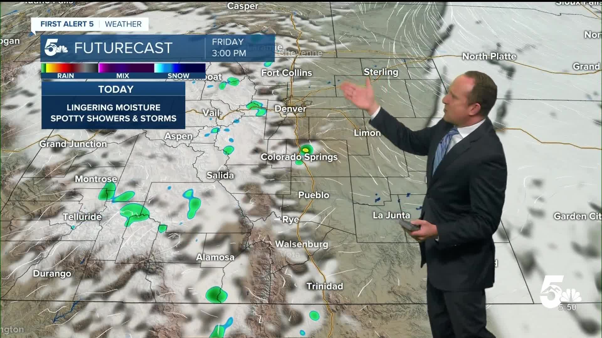
After a couple of wet days in Southern Colorado, we'll start to chip away at the moisture supply on Friday, which should mean fewer storms this afternoon compared to the past few days. Any storms that do form will bring the possibility of gusty winds, small hail, frequent lighting and heavy downpours. There's even the risk of a few low end severe thunderstorms today around the Pikes Peak Region, as well as parts of Pueblo and Fremont counties.
Highs this afternoon will be around 4-7 degrees warmer than yesterday, topping out in the 80s and 90s on the Plains.
Colorado Springs forecast: High: 85; Low: 55. Clearing skies this morning will give way to increasing clouds towards the afternoon hours and the chance for a few thunderstorms anytime after 2 pm. Another round of thunderstorms will be possible this evening, so bring an umbrella for date night.
Pueblo forecast: High: 92; Low: 58. After some significant flooding on the southwest side of Pueblo on Thursday, our weather will begin to dry out today, with the threat for a few hit or miss thunderstorms this afternoon and evening.
Canon City forecast: High: 89; Low: 61. Temperatures will warm by as much as 3-6 degrees from yesterday, with skies turning mostly cloudy this afternoon and the chance for a few thunderstorms across Fremont County.
Woodland Park forecast: High: 78; Low: 47. Our next warm up begins today as highs are expected to return to the upper 70s in Woodland Park. Scattered thunderstorms will be possible county wide this afternoon, with storms coming to an end around sunset tonight.
Tri-Lakes forecast: High: 70s/80s; Low: 50s. Sunshine this morning will give way to increasing clouds and the threat for a few strong or severe thunderstorms this afternoon. Storms will be capable of gusty winds, 1" hail, frequent lightning and heavy rainfall.
Plains forecast: High: 80s/90s; Low: 50s/60s. Rain showers will be much more limited today on the Plains compared to the past few days, with the best chances for rain expected to be for areas closest to I-25.
Walsenburg and Trinidad forecast: High: 80s; Low: 50s. Friday's forecast will be warmer than yesterday, with spotty to scattered thunderstorms in the afternoon and evening hours. Drier skies late tonight will give way to hotter temperatures on Saturday.
Mountains forecast: High: 60s/70s; Low: 40s. Dry skies this morning will give way to scattered thunderstorms anytime after the lunch hour. Storms today will bring the threat of lightning, small hail, gusty winds and locally heavy rainfall. Best to plan any hikes before the rain hits.
Extended outlook forecast:
High pressure over the southeastern U.S. will expand westward over the weekend, and this will bring us a couple of days of drier weather. While there could be a few high based, windy showers on Saturday, rain is not likely for much of Southern Colorado.
As high pressure dries our skies out, it will also heat up our temperatures. Highs in the Springs will return to the 90s on Saturday, with a high of 91 degrees. Sunday and Monday will be even hotter, with highs in the lower to middle 90s both days. Triple digit heat is likely in Pueblo both Sunday and Monday, with the heat slowly subsiding towards the middle parts of next week.
____
Curious about the First Alert 5 Weather Storm Impact Scale? Check out our cheatsheet explainer.
Watch KOAA News5 on your time, anytime with our free streaming app available for your Roku, FireTV, AppleTV and Android TV. Just search KOAA News5, download and start watching.
