


Tonight's Forecast:
Mostly clear skies and light winds tonight will lead to a pretty nice night here in Southern Colorado. Overnight lows will be a little above average for the Plains, only cooling down to the upper 10s and 20s by Monday morning.
Colorado Springs forecast: Low: 24; High: 54; A storm system tracking to our south on Monday will bring snow to the mountains and the potential for a few spotty light rain or snow showers to the Pikes Peak Region by the afternoon and evening hours.
Pueblo forecast: Low: 21; High: 58; Other than a few light rain showers Monday afternoon and evening, we're looking at a mild and fairly pleasant start to the week for the Steel City.
Canon City forecast: Low: 27; High: 57; Bright skies Monday morning may give way to a few afternoon showers as the first of two storms this week brings unsettled weather back to Colorado.
Woodland Park forecast: Low: 18; High: 47; Sunshine early will give way to a few passing snow showers in Teller County by Monday afternoon. Minimal impacts, with snow totals expected to stay under 1".
Tri-Lakes forecast: Low: 20s; High: 40s/50s; A weak storm will skirt the area on Monday, with the biggest impacts expected to stay to our south. Temperatures will be mild by the afternoon, with the potential for a few light rain or snow showers.
Plains forecast: Low: 10s/20s; High: 50s/60s; Most of our Monday will be dry, but by Monday evening, we'll be tracking the potential for a few showers or thunderstorms across the southeast Plains, with the potential for a changeover to snow by late Monday night.
Walsenburg and Trinidad forecast: Low: 20s; High: 40s/50s; Windy and unsettled down across the southern I-25 corridor on Monday, with the potential for on-again/off-again rain and snow showers throughout the day.
Mountains forecast: Low: 25; High: 50; Monday's storm will bring the first taste of wintry weather to the mountains of the week, with Winter Weather Advisories for the San Juans and southern Sangres from Monday morning through late Monday night. Snow totals from 4-12".
Extended outlook forecast:
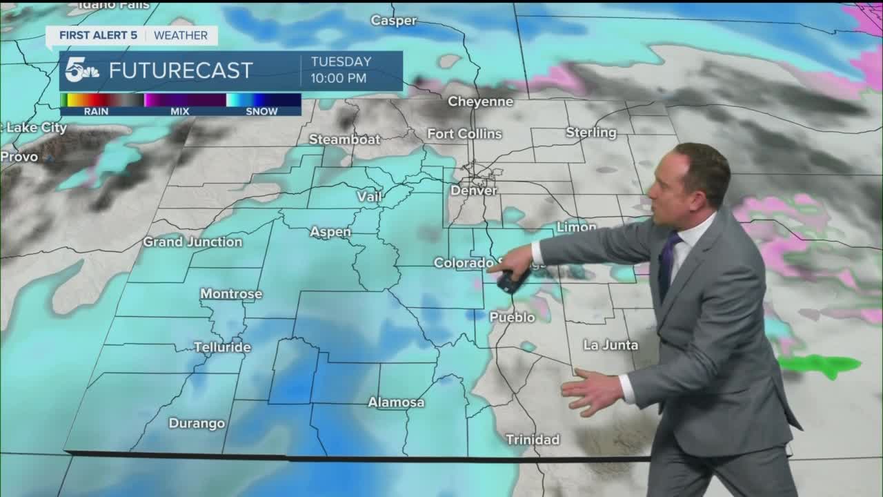
Mild air on Tuesday, Valentine's Day, will give way to a major blast of winter weather as a powerful mid-week storm tracks through Southern Colorado. A cold front that arrives Tuesday night after sunset will bring snow and wind to the forecast, with the potential for heavy snow to follow from the overnight hours into midday Wednesday. The storm will also bring 20-40 mph wind gusts to our forecast, with blowing snow a main concern as visibility during heavy bursts of snow could make driving a very difficult task.
Winter Storm Watches have been issued for all of Southern Colorado from 5 pm Tuesday to 5 pm Wednesday. Given the current storm track, the Plains could see snow totals between 4-10". That said, as the storm moves onshore tomorrow morning, we should start to get a better handle of the placement of the storm with respect to Southern Colorado and just how much snow we'll see. For now...plan for the potential for difficult driving conditions on Wednesday, as well as possible road closures and school/business closures.
____
Curious about the First Alert 5 Weather Storm Impact Scale? Check out our cheatsheet explainer.
Watch KOAA News5 on your time, anytime with our free streaming app available for your Roku, FireTV, AppleTV and Android TV. Just search KOAA News5, download and start watching.