

Today’s Forecast:
High pressure will move across the Four Corners Region on Monday, helping to boost daytime highs in Southern Colorado by a good 8-12 degrees from yesterday. Temperatures this afternoon will warm into the 60s in Teller County and our mountain valleys, with 70s and lower 80s on the Plains.
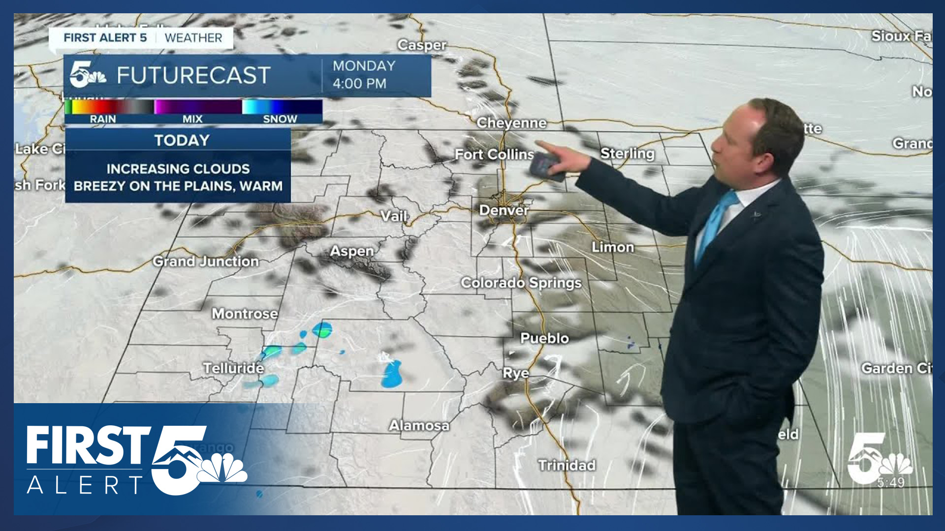
Skies will be bright and sunny early this morning before turning mostly cloudy this afternoon. Any rain or snow should stay confined to areas near the higher terrain.
Lastly, it will be windy today on the southeastern Plains, with a Red Flag Warning in effect in Baca County from 11 am to 8 pm. Gusts in these areas could top 40 mph. Gusts for Pueblo and Colorado Springs today will be closer to 20-25 mph.
Colorado Springs forecast: High: 71; Low: 37. After a couple of cooler days, highs will return to the lower 70s this afternoon. Skies will go from mostly sunny to mostly cloudy by the afternoon, with rain not expected today for the Pikes Peak Region.
Pueblo forecast: High: 78; Low: 37. Highs will warm into the upper 70s today, which will be more than 10 degrees above average for this time of the year. Skies will remain dry today, with westerly wind gusts this afternoon up around 20-25 mph.
Canon City forecast: High: 75; Low: 41. It's going to be a warm start to the week in Fremont County. Thanks to breezy to gusty downslope winds, highs today will climb into the middle 70s.
Woodland Park forecast: High: 62; Low: 31. After a chilly, but seasonable weekend, highs today will rebound into the lower 60s in Teller County. Clouds will increase this afternoon, with the chance for rain only around 10%.
Tri-Lakes forecast: High: 60s; Low: 20s/30s. Warming highs will bring temperatures back to the 60s today in northern El Paso County. A modest cool down will follow on Tuesday, along with the potential for scattered showers and thunderstorms in the afternoon.
Plains forecast: High: 70s/80s; Low: 30s/40s. The first full week of April will start dry, warm and gusty. The strongest winds will be across the southeastern Plains, especially into Baca County, where a Red Flag Warning will be in effect from 11 am to 8 pm.
Walsenburg and Trinidad forecast: High: 70s; Low: 30s. Warm and breezy on Monday, with afternoon wind gusts to 35 mph. While clouds will increase this afternoon, chances for rain will remain low, only around 10%.
Mountains forecast: High: 40s/50s; Low: 20s/30s. If we do see a rain or snow shower today, it will be in the mountains. Our best chances will be in the San Juans, Sangres and Pikes Peak. Snow levels today will be around 9,000 to 10,000 feet.
Extended outlook forecast:
A cold front this evening will cool highs on Tuesday by around 6-10 degrees, dropping the high in Colorado Springs back down to the middle 60s. A disturbance in the mid and upper levels of the atmosphere will bring a chance for showers and thunderstorms to Southern Colorado tomorrow, with snow levels up around 9,000 to 10,000 feet.
Wednesday looks dry as another storm passes to our north. Downslope wind gusts will be around 20-25 mph, and this will drive temperatures back into the 70s on the Plains.
Another disturbance moves in on Thursday, with scattered showers and thunderstorms possible from Thursday into the upcoming weekend, mainly focused around the afternoon hours. Highs on Thursday will be in the 60s and 70s. Then temperatures will cool down to the 60s from Friday to Sunday in Colorado Springs, with lower to middle 70s in Pueblo and Canon City.
____
Curious about the First Alert 5 Weather Storm Impact Scale? Check out our cheatsheet explainer.
Watch KOAA News5 on your time, anytime with our free streaming app available for your Roku, FireTV, AppleTV and Android TV. Just search KOAA News5, download and start watching.
