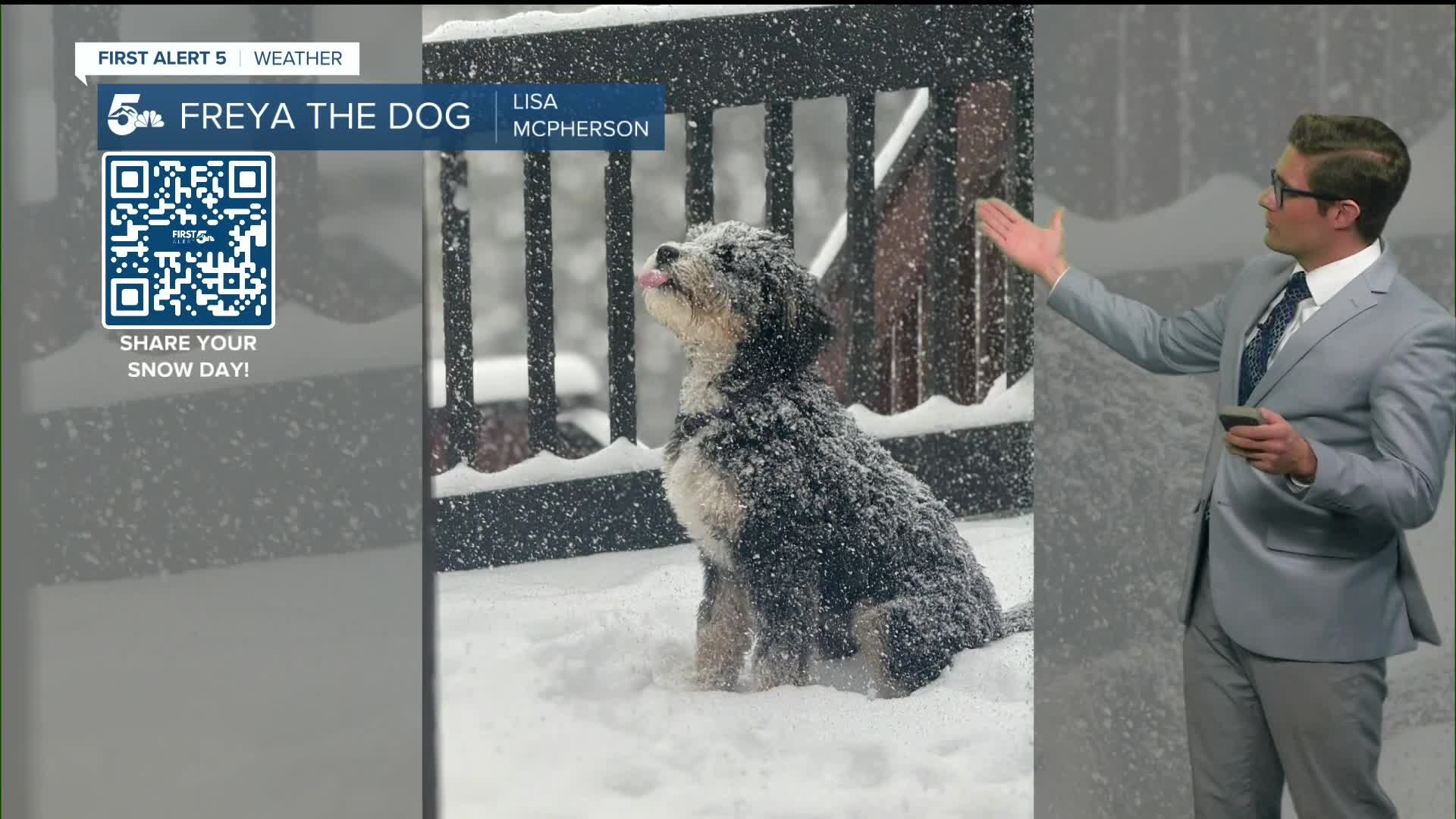


Today’s Forecast:
It's a chilly start to Saturday in southern Colorado as clear skies and light winds allowed for efficient radiational cooling overnight, with a low of 16 at the Colorado Springs Airport - and -4 in Westcliffe. Brrr! This morning, icy patches will persist early over the Palmer Divide: on and off ramps for I-25, and secondary roadways will be the main areas you'll want to be extra careful in. Similarly, expect some tricky spots in Black Forest.
Those road conditions improve fast this morning though. Our higher March sun angle coupled with quickly returning high pressure will combine to bring snowmelt sunshine to southern Colorado. By the afternoon, I expect any remaining snow issues to be very isolated to highly shaded parts of Black Forest and similar pockets on the eastern slopes of the Wet Mountains.
With yesterday's precipitation included, Colorado Springs Airport has now picked up 1.00" of liquid water this month. On average, we recieve 0.12" month-to-date, and for the entire month of March we average 0.79". This means that we're above average now for the month - even if we get 0 additional rain or snowfall all month. That's good news because the extended forecast isn't looking great for more notable moisture any time soon.
In Pueblo, you've now picked up 0.88" of liquid. You average 0.82" of liquid water in March, so you similarly will be above average for precipitation this month even if we see no other storms!
Colorado Springs forecast: High: 47; Low: 26.
Say goodbye to the snow - although we began the day chilly with a low of 16 at the Colorado Springs Airport - we're quickly warming up this morning and eventually reach the middle to upper 40s this afternoon. Skies stay sunny all day, and our solar angle is climbing quickly. Today, it peaks at 46.1 degrees above the horizon - which, given Colorado Springs' lower atmospheric pressure means that the sun is now high enough at mid day for your skin to produce meaningful amounts of Vitamin D! At the same time, that high sun angle means snow melts very fast.
West winds, at 5-10 mph. Get outside if you can, it's going to be nice. Be prepared for muddy low-elevation trails, and snow on anything pointy and steep (like the Incline or anything in Cheyenne Cañon...it holds snow better than other parts of the area).
Pueblo forecast: High: 56; Low: 24.
The lower snow amounts in the Arkansas River Valley mean that you should warm up faster than the Pikes Peak Region and your temperatures should ultimately be significantly warmer. That's because snow reflects sunlight. You'll have light westerly winds today at 5-10 mph, with full sunshine.
Canon City forecast: High: 51; Low: 29.
You're starting off a bit colder than Pueblo - which is a bit atypical - but that's partly due to the northwesterly winds. They're light, but they're bringing some lingering cold air that's been parked in western Fremont County overnight. Skies stay sunny today, and you'll still warm to the low 50s by the mid-afternoon. The snow on the peaks you can see west of town won't fully vanish today, but much of it will.
Southwesterly winds this afternoon at 5-10 mph.
Woodland Park forecast: High: 41; Low: 18.
U.S. 24 is already rapidly improving and shouldn't pose many issues for you for the rest of the day. The secondary roads, that's a bit of a different story. C.O. 69 to Cripple Creek will likely keep some icy patches around the turns that are tree and overhang shaded all day. Which is somewhat fitting if you're going to the final weekend of the Ice Castles - but slow down on your drive. You won't see the ice until you're on it.
Other than that, mostly sunny today and southwest winds at 5-10 mph. Nice; brisk!
Tri-Lakes forecast: High: 40s; Low: 20s.
Snowmelt sunshine with southwest winds at 5-10 mph. There will still be icy patches in shaded areas through the early afternoon toward both Palmer Lake, and Black Forest, but anything in the sun should be clear by 10 AM.
Plains forecast: High: 50s; Low: 20s.
Sunny with west winds at 5-10 mph.
Walsenburg and Trinidad forecast: High: 52/55; Low: 29/25.
Sunny with southwest winds at 5-10 mph.
Mountains forecast: High: 40s; Low: 20s.
Sunny - a significant amount of snow will melt. But, not all. Southwest winds at 5-10 mph.
Extended outlook forecast:
High pressure remains the main story on Sunday, with temperatures skyrocketing back into the 60s to even near 70 across the extreme eastern plains with weak westerly winds through the day. The winds will be slightly stronger in the foothills of the Pikes Peak massif and east of the Wet and Sangre de Cristo mountains, which is partly responsible for the jump back to above average temperatures even though winds in our cities won't be notable themselves. One area to be mindful of - as is often the case - is the gap flow zone in Huerfano county east of La Veta Pass. That zone could see some 25 mph gusts tomorrow afternoon. While that's not particularly strong for that area, it could catch you off guard if you're not expecting it and driving south on I-25.
On Monday, highs climb to the upper 60s to lower 70s(!), and downslope breezes will return. For now, they're not quite strong enough to qualify for true high fire danger across much of the area but the dry breeze will begin to dry out our fuels again, setting the stage for later-in-the-week changes. The exceptions are, again, in the gap flow zones in the southern tier where it will be windier and precipitation totals were much lower with our storm system.
On Tuesday, clouds increase through the day as an area of low pressure pivots south of the state - which rotates mid-level clouds into southeastern Colorado. Highs will still be warm in the upper 60s to low 70s with continued downslope flow. A cold front moves in from a northern-track system on Tuesday night, which could result in a brief sprinkle early Wednesday. Otherwise, Wednesday is cooler with more cloud cover than Monday or Tuesday - highs in the middle to upper 50s on the plains.
Thursday and Friday are the most potentially concerning days weather-wise next week, with a northwesterly jet streak likely to orient itself over and then north of the state. This is a setup we've already seen a few times this winter and early spring - and it produces warm, dry, downslope conditions and typically leads to high fire danger. At the moment, the core of this jet streak looks like it will be north of Colorado on Thursday and Friday which are the days where the best mix-down would happen. The result would be lower the peak wind speeds (than if the jet was directly overhead). Still, that set up would still provide fire danger potential - just not a high end set up. For now, expect highs in the middle 70s, elevated fire danger - and we'll keep you updated on the specifics of exactly how high fire danger ends up being as the jet streak's alignment comes into better focus.
____
Curious about the First Alert 5 Weather Storm Impact Scale? Check out our cheatsheet explainer.
Watch KOAA News5 on your time, anytime with our free streaming app available for your Roku, FireTV, AppleTV and Android TV. Just search KOAA News5, download and start watching.
