


Tonight's Forecast:
Other than a few snow showers up across the high country, we're looking at a quiet night across Southern Colorado. Temperature wise...it will be coldest in the lower Arkansas River Valley due to persistent snowpack in that area. Across the I-25 corridor, we're looking at a much more pleasant night of weather, with overnight lows only expected to cool down to the 10s and 20s.
Colorado Springs forecast: Low: 21; High: 55; A weak disturbance moving across the mountains on Sunday will cause warm air aloft to continue to mix down towards the surface, allowing for daytime highs to climb into the middle 50s on Christmas Day.
Pueblo forecast: Low: 12; High: 57; Lingering cold air in the morning will give way to a bright and mild afternoon, with the daytime high on Christmas Day expected to warm into the upper 50s.
Canon City forecast: Low: 28; High: 56; Mostly sunny and breezy on Sunday, with those warm downslope winds taking our morning lows in the 20s to afternoon highs into the 50s.
Woodland Park forecast: Low: 20; High: 45; Mostly sunny and breezy on Christmas Day, and with highs in the middle 40s, it'll be the perfect time to get outside and spend some time together as a family.
Tri-Lakes forecast: Low: 10s/20s; High: 40s/50s; More reprieve from the deep freeze on Sunday, with Christmas Day temperatures along and near the Palmer Divide expected top out above average, in the 40s and 50s.
Plains forecast: Low: 0s/10s; High: 40s/50s; Watch out for another very cold morning in the Plains, especially for areas along the Arkansas River Valley. Sunshine will allow for a sufficient amount of warming by the afternoon as highs look to top out in the 40s and 50s.
Walsenburg and Trinidad forecast: Low: 10s/20s; High: 50s; After last week's insanely cold Arctic blast, a modified airmass will deliver us a mild and sunny Christmas Day, with the high in Trinidad expected to flirt with 60 degrees by the afternoon.
Mountains forecast: Low: 10s/20s; High: 30s/40s; A breezy to gusty Christmas Day for the high country, with a few light snow showers possible in the central and northern mountains. Out state's southeastern mountains shouldn't see any fresh snow over the next 24 hours.
Extended outlook forecast:
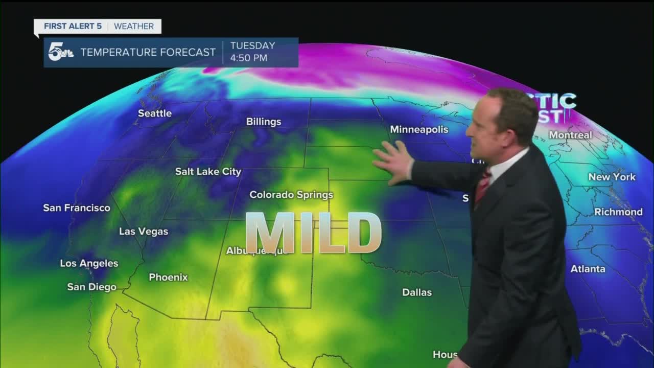
A weak cold front Sunday night should offer up around 6-10 degrees of cooling to Monday's highs. After cooling slightly on Monday, highs will be much warmer on Tuesday, with some areas topping out in the 60s.
Overall, the forecast next week does look fairly quiet for the Plains. Snow will return to the mountains Wednesday and Thursday, with some of that moisture possibly reaching the Palmer Divide and Pikes Peak Region by Wednesday evening. Stay tuned, and Happy Holidays everyone!!
____
Curious about the First Alert 5 Weather Storm Impact Scale? Check out our cheatsheet explainer.
Watch KOAA News5 on your time, anytime with our free streaming app available for your Roku, FireTV, AppleTV and Android TV. Just search KOAA News5, download and start watching.
