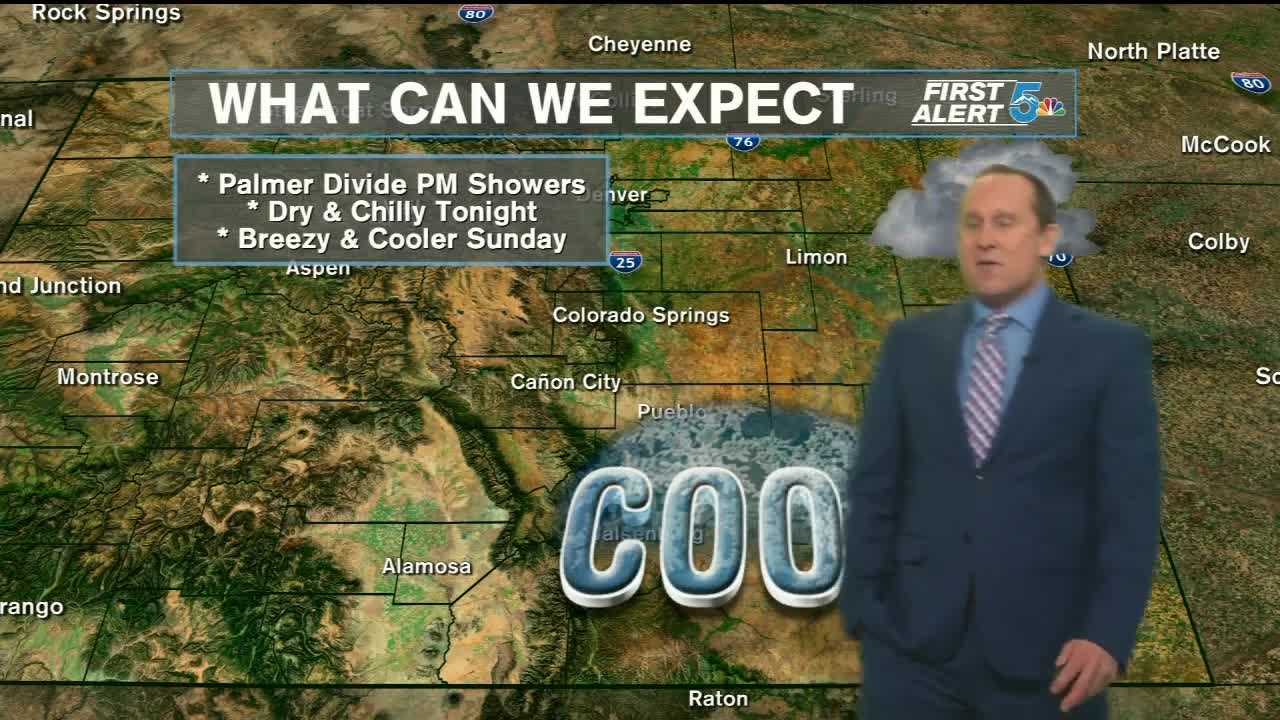


Tonight’s Forecast: A weakening cold front will move through Southern Colorado tonight. Showers and storms will be isolated in nature, and mostly confined to the Palmer Divide, and the Plains. For the rest of us, tonight's forecast is looking pretty chilly, with overnight lows dropping down to the mid 40s in the Springs.
COLORADO SPRINGS: Low - 44; High - 73. A cool start on Sunday will give way to a nice and mild afternoon, with plenty of sunshine all day long.
PUEBLO: Low - 49; High - 80. Chilly temperatures Sunday morning for the final day of the Chile and Frijoles Festival. Less windy and cooler for the afternoon, with a high near 80°.
CANON CITY: Low - 50; High - 78. After some overnight clouds, skies will clear out on Sunday. Daytime highs will be cooler, topping out in the upper 70s.
WOODLAND PARK: Low - 37; High - 68. A cold morning in the Teller County high country. Highs on Sunday will be nice and mild, warming into the upper 60s.
TRI-LAKES: Low - 40s; High - 60s. Overnight storms will be possible, with dry and sunny weather in your Sunday forecast.
PLAINS: Low - 50s; High - 80s. Drying out on Sunday for the Plains. Highs will be cooler than Saturday by some 4 to 8 degrees.
WALSENBURG/TRINIDAD: Low - 40s; High - 70s. Bundle up in the morning. Lows in the 40s will give way to mid to upper 70s for the afternoon.
Extended Outlook: A warm-up early next week leads us into the first few days of fall, with a few mountain showers also possible on Monday. The hottest temperatures are expected on Tuesday. Some cooling follows late next week. Better chances for rain return late next week as well, though the forecast models are going back and forth on this idea. Stay tuned for more details throughout the weekend.
